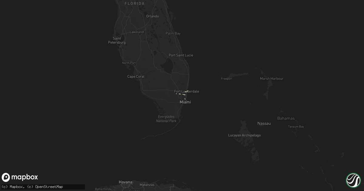
Hail Map in Florida on February 16, 2016
Get this storm
February 16 map
$229
one time, instant access
Download today. No call, no setup
Keep the $229
Bought the map and want the full workflow? Apply the entire $229 to a subscription within 7 days. None of it is wasted.
Every map, not just this one
This buys you this map. Subscription and you get every map we run, in the markets you choose from a few cities to whole states to nationwide. Plus real-time alerts the moment a storm fires.
Contact data
Name, contact info, occupancy, even credit band for addresses in the footprint. You go from where it hit to who to call.
Become the source they trust
Unlimited branding weather history reports on demand. You already have the documented answer ready for the property owner, and you are the one who showed up with it.
Property data and RoofTrace estimates
Pull up any address you have got, its value and the exact code rules for that jurisdiction, straight from One Click Code. Then RoofTrace estimates the squares, pitch, and roof value, priced the way you price.
Storm reports in Florida
Florida
| Date | Description |
|---|---|
| 02/16/20166:58 AM CST | A thunderstorm produced a wind gust of 60 mph at the mcnicol middle school weatherbug site |
| 02/16/20166:56 AM CST | A possible tornado caused damage at a harley davidson motorcycle shop. All of the motorcycles have been tossed around and a car dealership awning has been damaged. |
| 02/16/20166:54 AM CST | A possible tornado occured near ives dairy road near the aventura isles complex. Trees were knocked down and yard funiture was blown all over the place. |
| 02/16/20166:50 AM CST | A possible tornado knocked down trees on us highway 441 just south of ives dairy road. A metal roof has also been blown down. |
| 02/16/20166:50 AM CST | There was a possible tornado near the intersection of ne 191st and ne 15th ave. There were reports of roof damage as well as a pool area damaged. Windows were also blow |
| 02/16/20166:50 AM CST | A possible tornado caused the tops of oak trees to snap off along interstate 95. A tractor trailer overturned on interstate 95 as well. |
| 02/16/20166:50 AM CST | Radar estimates up to 80 mph winds occurred in area where trees toppled onto house...injuring female occupant. Damage was more significant near 58th avenue and arthur s |
| 02/16/20166:45 AM CST | Trees and powerlines down and 2 boats have been capsized. |
| 02/16/20166:39 AM CST | A thunderstorm produced a wind gust of 62 mph at the driftwood middle school weatherbug site. |
| 02/16/20166:37 AM CST | A thunderstorm produced a wind gust of 61 mph at the seminole tribe headquarters weatherbug site |
| 02/16/20166:36 AM CST | Surveillance video of downed trees. Damaged gates at estates at tequesta cove |
| 02/16/20166:35 AM CST | A 20 inch diameter pine tree snapped at the top |
| 02/16/20166:34 AM CST | A pool cage was crushed...trees were down and a 6 foot polymer fence was blown out in pembroke pines. |
| 02/16/20166:30 AM CST | A tree was down at 138th ave and sterling road |
| 02/16/20166:15 AM CST | A possible tornado caused a roof to be blown off a house and it landed on another house across the street. |
| 02/16/20166:14 AM CST | Several trees down near tree tops park. Witness reports seeing debris in air. |
| 02/16/20166:14 AM CST | There was a possible tornado in the lighthouse point area. Large tree limbs and tree branches down. A funnel cloud was observed and there were reports that heavy deck f |
| 02/16/20166:14 AM CST | Possible tornado. Several trees down near tree tops park. Witness reports seeing debris in air. |
| 02/16/20166:13 AM CST | A thunderstorm produced a wind gust of 60 mph at pompano beach airport. |
| 02/16/20166:12 AM CST | Trees and power poles down along canyon maple boulevard. Shingle damage to roofs. Eyewitness reports seeing tornado. |
| 02/16/20166:07 AM CST | Power lines are down across 130th ave and 36th ct. |
| 02/16/20166:00 AM CST | Strong winds from a thunderstorm knocked trees down...demolished fences and blew patio furniture around yards. |


