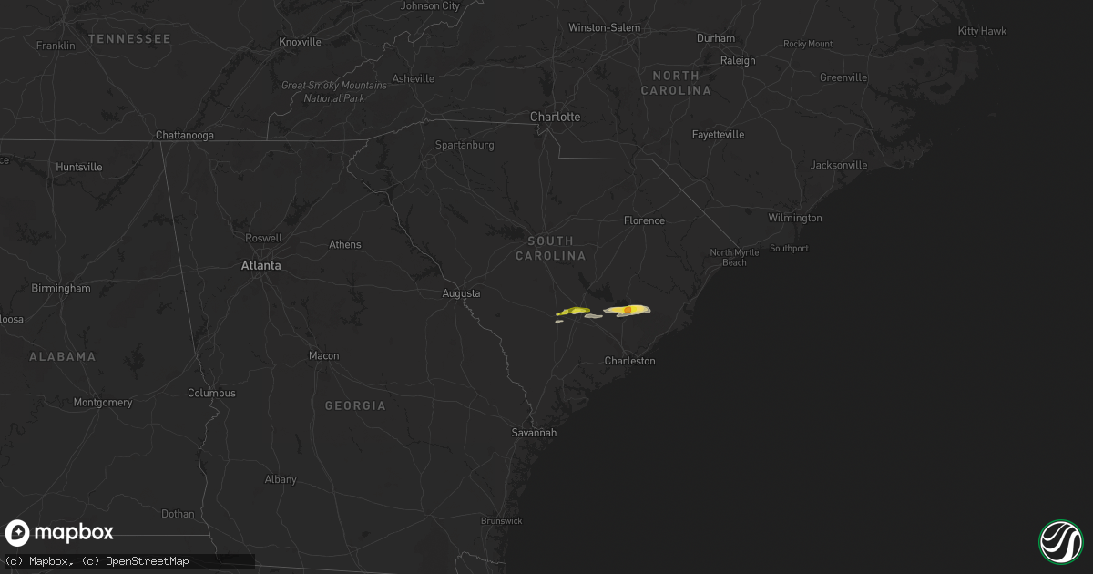
Hail Map in South Carolina on February 15, 2017
Get this storm
February 15 map
$229
one time, instant access
Download today. No call, no setup
Keep the $229
Bought the map and want the full workflow? Apply the entire $229 to a subscription within 7 days. None of it is wasted.
Every map, not just this one
This buys you this map. Subscription and you get every map we run, in the markets you choose from a few cities to whole states to nationwide. Plus real-time alerts the moment a storm fires.
Contact data
Name, contact info, occupancy, even credit band for addresses in the footprint. You go from where it hit to who to call.
Become the source they trust
Unlimited branding weather history reports on demand. You already have the documented answer ready for the property owner, and you are the one who showed up with it.
Property data and RoofTrace estimates
Pull up any address you have got, its value and the exact code rules for that jurisdiction, straight from One Click Code. Then RoofTrace estimates the squares, pitch, and roof value, priced the way you price.
Storm reports in South Carolina
South Carolina
| Date | Description |
|---|---|
| 02/15/201711:29 AM CST | Trained spotter reported golf ball size hail |
| 02/15/201711:25 AM CST | Local tv station relayed report of ping pong ball size hail near bonneau beach... As well as a video showing quarter size hail at bonn grocery. |
| 02/15/201711:00 AM CST | Public reported half dollar sized hail at a business south of holly hill on gardner blvd/hwy 453. . |
| 02/15/201711:00 AM CST | Many trees and power lines down on adrian hwy between hwy 701 and hwy 66. |
| 02/15/201710:53 AM CST | Dot reported a tree down on hwy 6 near the santee golf course. |
| 02/15/201710:52 AM CST | Trees down. Doors blown off house. |
| 02/15/201710:52 AM CST | Trees down. |
| 02/15/201710:40 AM CST | Quarter sized hail reported at branchville high school. . |
| 02/15/201710:03 AM CST | Trees were reported down... Mainly in the vicinity of reynolds road and ashleigh road. However... It was inconclusive that a tornado touched down in this area earlier t |
| 02/15/20179:55 AM CST | Clarendon co. Dispatch reported trees down on dingle pond road. |
| 02/15/20179:26 AM CST | Asos at orangeburg municipal airport observed a peak wind gust of 54 knots... Or 62 mph... At 1026 est. |


