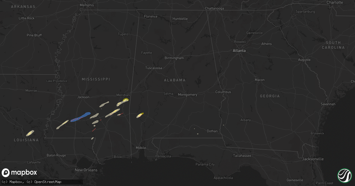
Hail Map in Alabama on February 12, 2025
Get this storm
February 12 map
$229
one time, instant access
Download today. No call, no setup
Keep the $229
Bought the map and want the full workflow? Apply the entire $229 to a subscription within 7 days. None of it is wasted.
Every map, not just this one
This buys you this map. Subscription and you get every map we run, in the markets you choose from a few cities to whole states to nationwide. Plus real-time alerts the moment a storm fires.
Contact data
Name, contact info, occupancy, even credit band for addresses in the footprint. You go from where it hit to who to call.
Become the source they trust
Unlimited branding weather history reports on demand. You already have the documented answer ready for the property owner, and you are the one who showed up with it.
Property data and RoofTrace estimates
Pull up any address you have got, its value and the exact code rules for that jurisdiction, straight from One Click Code. Then RoofTrace estimates the squares, pitch, and roof value, priced the way you price.
Storm reports in Alabama
Alabama
| Date | Description |
|---|---|
| 02/12/20253:50 AM CST | Powerlines were reported down by the geneva county 911 dispatch along burnt street. Time approximated by radar. |
| 02/12/20253:05 AM CST | A couple of trees were blown down in coffee county. |
| 02/12/20251:55 AM CST | Straight-line winds up to 60 mph caused damage at the branching pines rv community. |
| 02/12/202512:44 AM CST | Numerous trees were downed in the auburn and opelika areas of lee county. |
| 02/12/202512:09 AM CST | Trees were downed along pettus rd... Vaughn rd... Federal rd... And woodley rd. |
| 02/11/20258:55 PM CST | Multiple trees down on hickory rd. Time estimated by radar. |
| 02/11/20256:15 PM CST | Numerous trees down on hwy 69 and hwy 84. Structural damage reported on norris rd due to a fallen tree. Structural damage to a home on hwy 84 near winn rd. |
All States Impacted by Hail Map on February 12, 2025
Cities Impacted by Hail Map on February 12, 2025
- Sandy Hook, MS
- Angie, LA
- Cheneyville, LA
- Marksville, LA
- Hessmer, LA
- Alexandria, LA
- Lecompte, LA
- Crosby, MS
- Roxie, MS
- Bude, MS
- Meadville, MS
- Pineville, LA
- Effie, LA
- McCall Creek, MS
- Columbia, MS
- Gloster, MS
- Prentiss, MS
- Mount Olive, MS
- Raleigh, MS
- Mize, MS
- Louin, MS
- Carson, MS
- Bassfield, MS
- Silas, AL
- Coffeeville, AL
- Jackson, AL
- Thomasville, AL
- Enterprise, MS
- Pachuta, MS
- Millry, AL
- Frankville, AL
- Collins, MS
- Seminary, MS
- Meridian, MS
- Quitman, MS
- Laurel, MS
- Soso, MS
- Stonewall, MS
- Heidelberg, MS
- Sumrall, MS
- Shubuta, MS
- Vossburg, MS
- Waynesboro, MS
- Samson, AL
- Kinston, AL
- Brookhaven, MS
- Wesson, MS
- Sontag, MS
- Monticello, MS
- Newhebron, MS
- Pinola, MS
- Mendenhall, MS
- Elba, AL
- Coffee Springs, AL
- Blakely, GA


