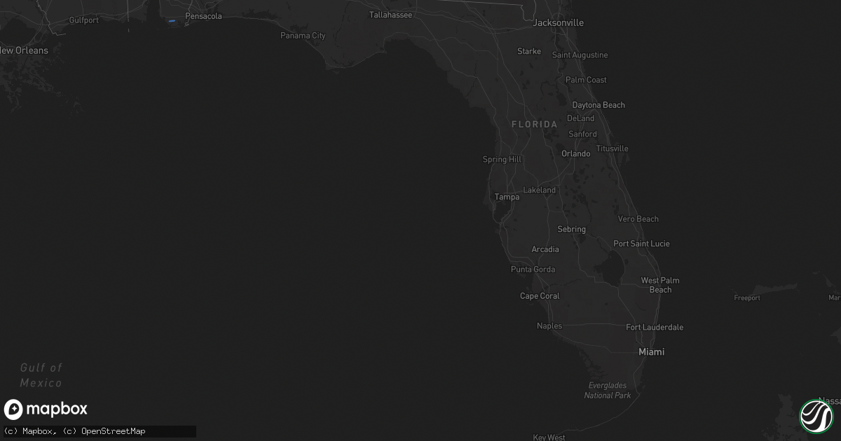
Hail Map in Florida on January 25, 2026
Get this storm
January 25 map
$229
one time, instant access
Download today. No call, no setup
Keep the $229
Bought the map and want the full workflow? Apply the entire $229 to a subscription within 7 days. None of it is wasted.
Every map, not just this one
This buys you this map. Subscription and you get every map we run, in the markets you choose from a few cities to whole states to nationwide. Plus real-time alerts the moment a storm fires.
Contact data
Name, contact info, occupancy, even credit band for addresses in the footprint. You go from where it hit to who to call.
Become the source they trust
Unlimited branding weather history reports on demand. You already have the documented answer ready for the property owner, and you are the one who showed up with it.
Property data and RoofTrace estimates
Pull up any address you have got, its value and the exact code rules for that jurisdiction, straight from One Click Code. Then RoofTrace estimates the squares, pitch, and roof value, priced the way you price.
Storm reports in Florida
Florida
| Date | Description |
|---|---|
| 01/25/20264:15 PM CST | Tree limbs down across state rd 20. |
| 01/25/20264:00 PM CST | Tree down along hwy 71 south bound. |
| 01/25/20263:46 PM CST | Tree down on highway 20 near john f bailey road. |
| 01/25/20263:41 PM CST | Trees and power lines reported down in chattahoochee. |
| 01/25/20263:20 PM CST | Mping report of shingles blown off. |
| 01/25/20263:15 PM CST | Large tree down on hartsfield road. |
| 01/25/20263:15 PM CST | Tree down at 2544 douglas pond rd. |
| 01/25/20263:13 PM CST | Trees down on powerline road. |
| 01/25/20263:11 PM CST | Tree on a power line on laramore road. |
| 01/25/20263:05 PM CST | Tree and power line down along gardenview rd. |
| 01/25/20262:55 PM CST | Trees and power lines reported down across western jackson county. |
| 01/25/20262:53 PM CST | Corrects previous tstm wnd dmg report from 2 sw sills. Downed tree hit a power line that caused a fire near holyneck rd and dudley rd. |
| 01/25/20262:53 PM CST | Corrects time on previous tstm wnd dmg report from 2 sw sills. Downed tree hit a power line that caused a fire near holyneck rd and dudley rd. |
| 01/25/20262:40 PM CST | Tree down on church ave near coopers. |
| 01/25/20262:30 PM CST | Tree down at hwy 79 and acy rd. |
| 01/25/20262:24 PM CST | Tree down at stumpknocker trail. |
| 01/25/20262:22 PM CST | Smokey road tree down. |
| 01/25/20262:12 PM CST | Picture of trees down in the bonifay area. |
| 01/25/20262:12 PM CST | Significant tree damage reported near bonifay. |
| 01/25/20261:51 PM CST | Picture of tree on house. |
| 01/25/20261:40 PM CST | Ham radio operator reported trees down on ingl |
| 01/25/20261:40 PM CST | Reports of trees down along ingle rd. |
| 01/25/20261:40 PM CST | Ham radio operator reports of trees down near sunrise/331 n. |
| 01/25/20261:40 PM CST | Ham radio operator reported trees down on ingle rd near defuniak springs. |
| 01/25/20261:39 PM CST | Reports of trees down near sunrise and hwy 331 north. |
| 01/25/20261:30 PM CST | Reports of trees and power lines down along with roof damage. Damage was reported to be across northern defuniak springs along hwy 83. |
| 01/25/20261:25 PM CST | Power line down along county highway 1084. |
| 01/25/20261:24 PM CST | Ef1 tornado confirmed by storm survey. Lasted from 1:23 ct to 1:25 ct. |
| 01/25/20261:24 PM CST | Destin-fort walton beach airport |
| 01/24/20267:53 PM CST | Downed tree hit a power line that caused a fire near holyneck rd and dudley rd. |
| 01/24/20266:22 PM CST | Tree wa |
| 01/24/20266:22 PM CST | Tree was reported down at jumping gulley rd and loch laurel rd. |
Cities Impacted by Hail Map on January 25, 2026
- Lowndesboro, AL
- Montgomery, AL
- Pike Road, AL
- Tallassee, AL
- Eclectic, AL
- Wetumpka, AL
- Fort Rucker, AL
- Ozark, AL
- Defuniak Springs, FL
- Ponce De Leon, FL
- New Brockton, AL
- Enterprise, AL
- Midland City, AL
- Daleville, AL
- Newton, AL
- Abbeville, AL
- Columbia, AL
- Blakely, GA
- Headland, AL
- Cherokee, TX
- Brookesmith, TX
- Richland Springs, TX
- Pontotoc, TX
- Voca, TX
- Brady, TX
- San Saba, TX
- Valley Spring, TX
- Mullin, TX
- Rochelle, TX
- Brownwood, TX
- Lohn, TX
- Llano, TX
- Goldthwaite, TX
- Sonora, TX
- Hope Hull, AL
- Geneva, AL
- Black, AL
- Ashford, AL
- Webb, AL
- Foley, AL
- Florala, AL


