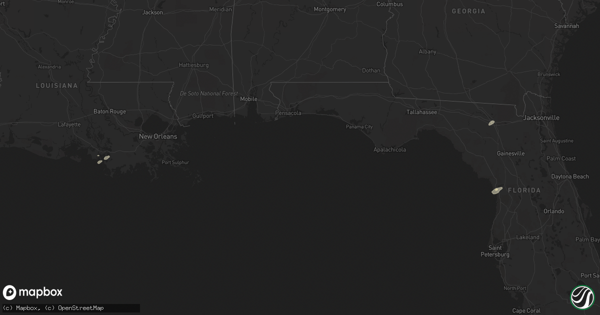
Hail Map in Florida on January 6, 2017
Get this storm
January 6 map
$229
one time, instant access
Download today. No call, no setup
Keep the $229
Bought the map and want the full workflow? Apply the entire $229 to a subscription within 7 days. None of it is wasted.
Every map, not just this one
This buys you this map. Subscription and you get every map we run, in the markets you choose from a few cities to whole states to nationwide. Plus real-time alerts the moment a storm fires.
Contact data
Name, contact info, occupancy, even credit band for addresses in the footprint. You go from where it hit to who to call.
Become the source they trust
Unlimited branding weather history reports on demand. You already have the documented answer ready for the property owner, and you are the one who showed up with it.
Property data and RoofTrace estimates
Pull up any address you have got, its value and the exact code rules for that jurisdiction, straight from One Click Code. Then RoofTrace estimates the squares, pitch, and roof value, priced the way you price.
Storm reports in Florida
Florida
| Date | Description |
|---|---|
| 01/06/20171:30 AM CST | Law enforcement reported a large pine tree fell and damaged a garage on northeast 49th avenue in ocala. The time given was based on radar. |
| 01/06/201712:57 AM CST | Emergency manager reported that a tree fell across the road. Time estimated by radar. |
| 01/06/201712:45 AM CST | Emergency management reported large trees uprooted near county road 136 and 96th place in live oak. There were also reports of damage to cars and homes. The time given |
| 01/05/20178:00 PM CST | Emergency manager reported tree down on a home on northwest moore road. No injuries were reported. Time is estimated based on radar. |
| 01/05/20178:00 PM CST | Emergency manager reported downed trees and powerlines along the interstate 10 corridor from mile marker 298 to mile marker 301. This is just east of the i-75/i-10 inte |


