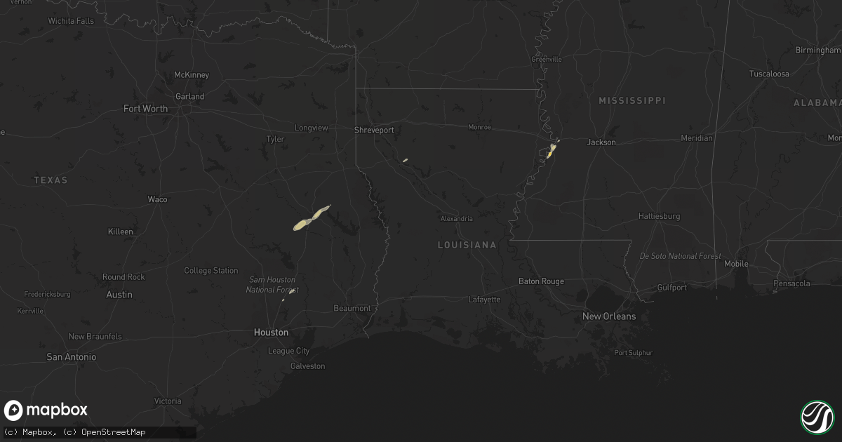
Hail Map on December 27, 2014
Get this storm
December 27 map
$229
one time, instant access
Download today. No call, no setup
Keep the $229
Bought the map and want the full workflow? Apply the entire $229 to a subscription within 7 days. None of it is wasted.
Every map, not just this one
This buys you this map. Subscription and you get every map we run, in the markets you choose from a few cities to whole states to nationwide. Plus real-time alerts the moment a storm fires.
Contact data
Name, contact info, occupancy, even credit band for addresses in the footprint. You go from where it hit to who to call.
Become the source they trust
Unlimited branding weather history reports on demand. You already have the documented answer ready for the property owner, and you are the one who showed up with it.
Property data and RoofTrace estimates
Pull up any address you have got, its value and the exact code rules for that jurisdiction, straight from One Click Code. Then RoofTrace estimates the squares, pitch, and roof value, priced the way you price.
States Impacted by Hail Map on December 27, 2014
Storm reports
Arkansas
| Date | Description |
|---|---|
| 12/27/201411:04 AM CST | Large tree limbs have been downed. |
Texas
| Date | Description |
|---|---|
| 12/27/20142:35 PM CST | A national weather service storm survey has concluded that the tornado that occurred south of jasper was an ef-1 with peak winds around 105 mph. The tornado began near |
| 12/27/20142:30 PM CST | The jasper co police dept reported damage from a possible tornado near hwy 96 and co 301. Appx 2 homes damaged... Multiple vehicles... And power lines damaged. No injuries (l |
| 12/27/20142:00 PM CST | Tornado damage 4 homes and several out buildings. Additional information can be found in pnslch. |
| 12/27/20141:15 PM CST | Sheriff office reported large tree down across hwy 417 in huxley. |
| 12/27/20141:12 PM CST | Thunderstorm wind damage at cr 2117 and sh 146...one quarter to one half mile in length. Damage to trees...power lines...and roof off a mobile home. |
| 12/27/20141:12 PM CST | Tornado approximately 1 mile west of cr 2117 and sh 146. Initially reported as wind damage. Witnesses describe damage path 400 yds long and 75 yds wide. Damage pattern |
| 12/27/201411:56 AM CST | Large tree limbs down greater than 2 inches in herty tx |
| 12/27/201411:40 AM CST | Large tree limbs down greater than 2 inches |
Mississippi
| Date | Description |
|---|---|
| 12/27/20141:58 PM CST | On east side of city |
| 12/27/20141:36 PM CST | A local report indicates 1.50 inch wind near 2 NW YOKENA |