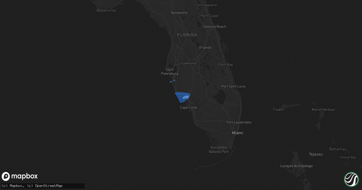
Hail Map on December 21, 2021
Get this storm
December 21 map
$229
one time, instant access
Download today. No call, no setup
Keep the $229
Bought the map and want the full workflow? Apply the entire $229 to a subscription within 7 days. None of it is wasted.
Every map, not just this one
This buys you this map. Subscription and you get every map we run, in the markets you choose from a few cities to whole states to nationwide. Plus real-time alerts the moment a storm fires.
Contact data
Name, contact info, occupancy, even credit band for addresses in the footprint. You go from where it hit to who to call.
Become the source they trust
Unlimited branding weather history reports on demand. You already have the documented answer ready for the property owner, and you are the one who showed up with it.
Property data and RoofTrace estimates
Pull up any address you have got, its value and the exact code rules for that jurisdiction, straight from One Click Code. Then RoofTrace estimates the squares, pitch, and roof value, priced the way you price.
States Impacted by Hail Map on December 21, 2021
Storm reports
Florida
| Date | Description |
|---|---|
| 12/21/202110:00 AM CST | A member of the public reported via social media car damage due to a wind driven coconut associated with a strong thunderstorm wind gust moving through the area. Wind o |
| 12/21/20217:10 AM CST | Mesonet station 0400w 1.9 w bayshore gardens |
| 12/21/20215:08 AM CST | At 1107 AM EST, a severe thunderstorm was located over Key Biscayne, moving east at 30 mph. HAZARD...60 mph wind gusts. SOURCE...Radar indicated. IMPACT...Expect damage to roofs, siding, and trees. Locations impacted include... Miami, Miami Beach, Key Biscayne, Virginia Key and Fisher Island. |
| 12/21/20212:15 AM CST | At 814 AM EST, a severe thunderstorm was located over West Samoset, or over Bradenton, moving east at 50 mph. HAZARD...60 mph wind gusts. SOURCE...Radar indicated. IMPACT...Expect damage to roofs, siding, and trees. Locations impacted include... Sarasota, Bradenton, Palmetto, Bayshore Gardens, Lake Manatee State Park, Lakewood Ranch, Ellenton, Samoset, South Bradenton and Palma Sola. |