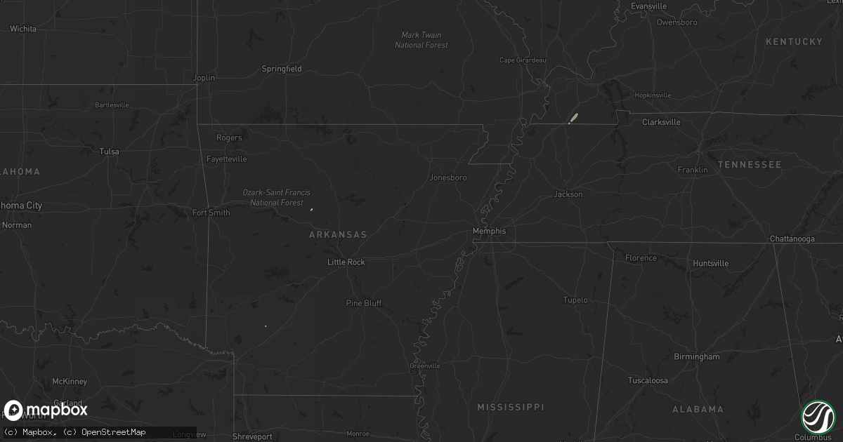
Hail Map on December 20, 2013
Get this storm
December 20 map
$229
one time, instant access
Download today. No call, no setup
Keep the $229
Bought the map and want the full workflow? Apply the entire $229 to a subscription within 7 days. None of it is wasted.
Every map, not just this one
This buys you this map. Subscription and you get every map we run, in the markets you choose from a few cities to whole states to nationwide. Plus real-time alerts the moment a storm fires.
Contact data
Name, contact info, occupancy, even credit band for addresses in the footprint. You go from where it hit to who to call.
Become the source they trust
Unlimited branding weather history reports on demand. You already have the documented answer ready for the property owner, and you are the one who showed up with it.
Property data and RoofTrace estimates
Pull up any address you have got, its value and the exact code rules for that jurisdiction, straight from One Click Code. Then RoofTrace estimates the squares, pitch, and roof value, priced the way you price.
Storm reports
Mississippi
| Date | Description |
|---|---|
| 12/20/20134:56 PM CST | Nws storm survey found a brief tornado touchdown along charlie brown rd. One tree was down across the rd along with several limbs and tree debris scattered in that same |
| 12/20/20134:41 PM CST | This brief tornado touched down along the big black river and crossed fisher ferry rd. Roughly 5 to 8 trees had very large limbs or part of the trunk broken off. There |
Tennessee
| Date | Description |
|---|---|
| 12/20/201312:15 AM CST | One tree down on highway 41a 2.5 blocks east of courthouse. |
Ohio
| Date | Description |
|---|---|
| 12/19/201311:40 PM CST | Trees down |
| 12/19/20138:50 PM CST | Large tree down |
Arkansas
| Date | Description |
|---|---|
| 12/19/20136:33 PM CST | An ef-1 tornado touched down briefly just south of redfield. The tornado was on the ground for about a mile and a half. Several homes sustained roof damage...with some |
| 12/19/20136:33 PM CST | At least four homes suffered roof damage...with trees and power lines downed. No injuries were reported. A brief tornado may have been responsible for the damage. |