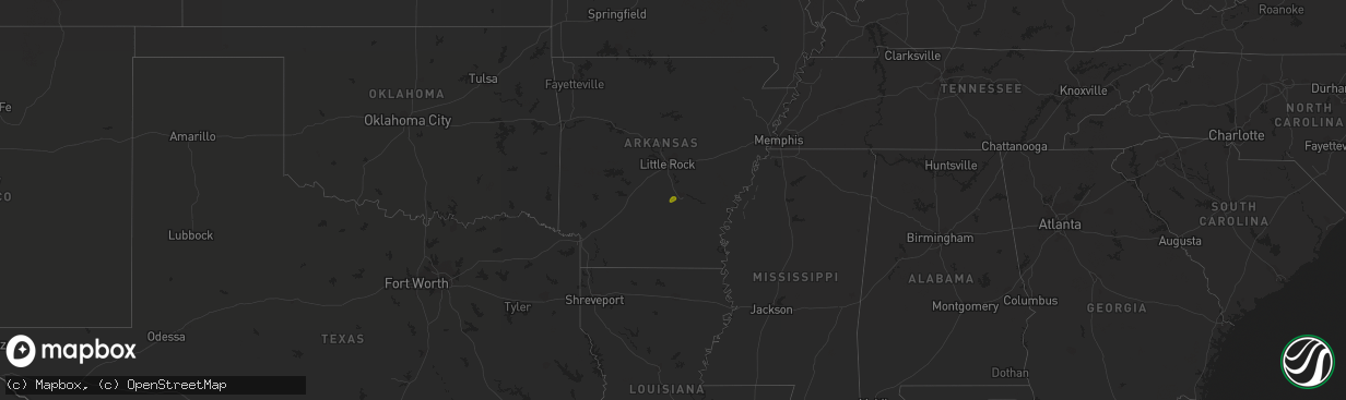
Hail Map on December 18, 2016
The weather event on December 18, 2016 includes Hail map. 1 state and 1 city were impacted and suffered possible damage. The total estimated number of properties impacted is 736.
Want more than just the map?
Turn this storm into a full workflow.
- Owner + property data so you know who to knock
- OnDemand branded weather history reports to win the "did we even have hail?" argument
- RoofTrace estimate so reps stop guessing numbers at the door
Bought this map? Upgrade within 7 days and we'll credit the $230. (10-15 min setup call)
Hail
736
Estimated number of impacted properties by a 1.00" hail or larger0
Estimated number of impacted properties by a 1.75" hail or larger0
Estimated number of impacted properties by a 2.50" hail or largerStates Impacted by Hail Map on December 18, 2016
Storm reports
Alabama
| Date | Description |
|---|---|
| 12/18/20167:52 AM CST | Several small trees uprooted and a couple snapped along cr 65 about 1 mile from cr 87. Winds estimated around 40-50 mph based on radar. Time estimated from radar. |
North Carolina
| Date | Description |
|---|---|
| 12/18/201612:12 PM CST | Two trees down along with a couple powerlines on mountain island drive east. No structural damage reported. |