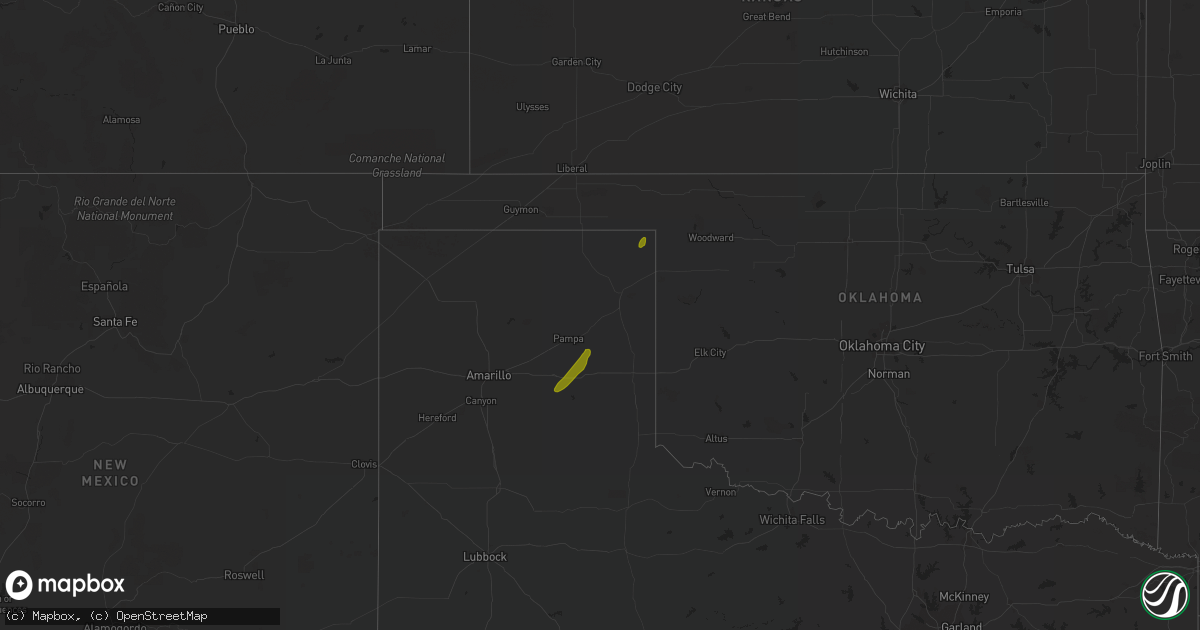
Hail Map on December 13, 2015
Get this storm
December 13 map
$229
one time, instant access
Download today. No call, no setup
Keep the $229
Bought the map and want the full workflow? Apply the entire $229 to a subscription within 7 days. None of it is wasted.
Every map, not just this one
This buys you this map. Subscription and you get every map we run, in the markets you choose from a few cities to whole states to nationwide. Plus real-time alerts the moment a storm fires.
Contact data
Name, contact info, occupancy, even credit band for addresses in the footprint. You go from where it hit to who to call.
Become the source they trust
Unlimited branding weather history reports on demand. You already have the documented answer ready for the property owner, and you are the one who showed up with it.
Property data and RoofTrace estimates
Pull up any address you have got, its value and the exact code rules for that jurisdiction, straight from One Click Code. Then RoofTrace estimates the squares, pitch, and roof value, priced the way you price.
States Impacted by Hail Map on December 13, 2015
Storm reports
Mississippi
| Date | Description |
|---|---|
| 12/13/20154:38 PM CST | A utility wire was downed |
Arkansas
| Date | Description |
|---|---|
| 12/13/201511:55 AM CST | Trees down reported in the northwood and lawson communities |
| 12/13/201511:51 AM CST | An nws storm survey team determined that damage near the lawson community was consistent with that of straight line wind damage. A portion of a metal roof was removed f |
| 12/13/201510:25 AM CST | Power lines down |
Texas
| Date | Description |
|---|---|
| 12/13/20159:19 AM CST | Wind gust was measured at galveston scholes field asos. |
| 12/13/20157:13 AM CST | A line of showers...containing strong winds...derailed an line of 64 empty railroad cars near the intersection of old mill rd and highway 103. Winds were estimated near |
| 12/13/20156:40 AM CST | 4 trees reported down south and sw of gilmer |
| 12/13/20156:00 AM CST | Trees on homes wells rd and lake drive... Trees down fm778 and lance rd... Home damaged randy and wells road |
Louisiana
| Date | Description |
|---|---|
| 12/13/20154:00 PM CST | Utility poles and wires were downed |
| 12/13/20153:45 PM CST | Three utility poles were broken |
| 12/13/201511:50 AM CST | Numerous large trees down across the parish. |
| 12/13/201511:45 AM CST | Numerous trees down across parish roadways. |
| 12/13/201511:25 AM CST | Trees down in and near the junction city and north west part of parish |
| 12/13/201511:05 AM CST | Trees down across hwy 9. |
| 12/13/201510:55 AM CST | Trees down across hwy 795. |
| 12/13/201510:51 AM CST | 65 mph wind gust... Trees snapped or uprooted |
| 12/13/201510:50 AM CST | Tree down blocking road on highway 486 near stiles road |
| 12/13/201510:50 AM CST | Large tree down across hwy la-2. |
| 12/13/201510:45 AM CST | Large tree down across hill farm rd...near the intersection of lyons hill rd. |
| 12/13/201510:25 AM CST | Numerous trees down across the parish. |
| 12/13/201510:20 AM CST | Numerous trees down across minden and southern half of parish. |
| 12/13/20159:00 AM CST | A line of showers...containing strong winds...knocked down numerous trees and powerlines across the city. |