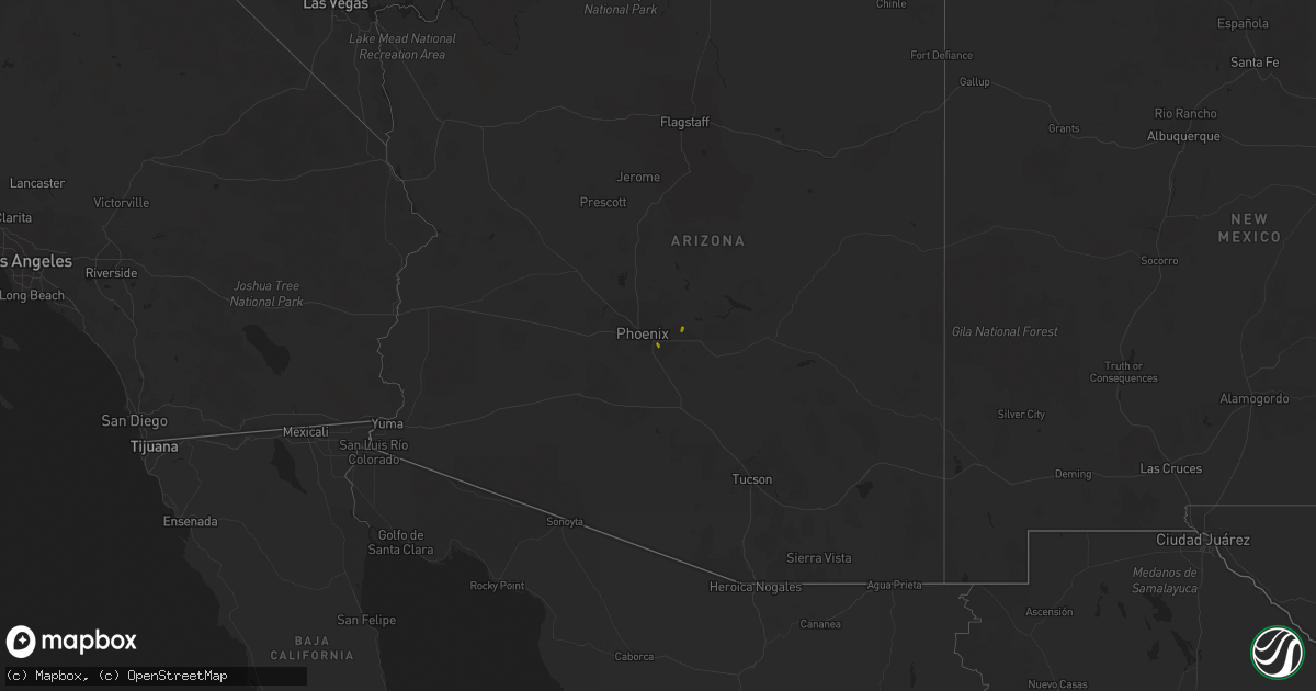
Hail Map on December 9, 2019
Get this storm
December 9 map
$229
one time, instant access
Download today. No call, no setup
Keep the $229
Bought the map and want the full workflow? Apply the entire $229 to a subscription within 7 days. None of it is wasted.
Every map, not just this one
This buys you this map. Subscription and you get every map we run, in the markets you choose from a few cities to whole states to nationwide. Plus real-time alerts the moment a storm fires.
Contact data
Name, contact info, occupancy, even credit band for addresses in the footprint. You go from where it hit to who to call.
Become the source they trust
Unlimited branding weather history reports on demand. You already have the documented answer ready for the property owner, and you are the one who showed up with it.
Property data and RoofTrace estimates
Pull up any address you have got, its value and the exact code rules for that jurisdiction, straight from One Click Code. Then RoofTrace estimates the squares, pitch, and roof value, priced the way you price.
States Impacted by Hail Map on December 9, 2019
Storm reports
Arizona
| Date | Description |
|---|---|
| 12/09/20194:57 PM CST | Quarter sized hail with accumulation on the ground. |
| 12/09/20193:54 PM CST | A local report indicates 1.00 inch wind near 5 NE MESA |
| 12/09/20193:40 PM CST | ***delayed report***...quarter size hail report from mping. |
| 12/09/20193:15 PM CST | **delayed report** twitter report of quarter-sized hail near 40th st and union hills dr. Time estimated from radar. |
| 12/09/20193:36 AM CST | At 935 AM MST, severe thunderstorms were located along a line extending from Picacho Peak State Park to 15 miles southwest of Avra Valley, moving east at 20 mph. HAZARD...60 mph wind gusts and penny size hail. SOURCE...Radar indicated. IMPACT...Expect damage to roofs, siding, and trees. Locations impacted include... Marana, Avra Valley, Picacho Peak State Park, Picture Rocks, Red Rock and Silver Bell.This includes the following highways... Interstate 10 between mile markers 218 and 241. Route 79 between mile markers 102 and 108. |
| 12/08/20199:23 PM CST | At 323 PM MST, a severe thunderstorm was located over Tempe, moving southwest at 10 mph. HAZARD...Quarter size hail. SOURCE...Radar indicated. IMPACT...Damage to vehicles is expected. Locations impacted include... Phoenix, Mesa, Chandler, Gilbert, Tempe, Sun Lakes, Papago Park, Arizona Mills Mall, Gilbert City Hall, Tumbleweed Park, South Phoenix, Chandler City Hall, South Mountain Park, Arizona State University and Fiesta Mall. |
| 12/08/20198:34 PM CST | At 234 PM MST, a severe thunderstorm was located over Granite Reef Dam, or near East Mesa, moving west at 5 mph. HAZARD...Quarter size hail. SOURCE...Radar indicated. IMPACT...Damage to vehicles is expected. Locations impacted include... Mesa, Scottsdale, Tempe, Apache Junction, Fountain Hills, Paradise Valley, East Mesa, Mesa Riverview Mall, Tempe Marketplace, Granite Reef Dam, Falcon Field Airport, Salt River Indian Community, Downtown Mesa, Usery Mountain Park and Downtown Scottsdale. |
| 12/08/20198:11 PM CST | At 211 PM MST, a severe thunderstorm was located over Desert Ridge Marketplace, or 8 miles west of Scottsdale, moving west at 15 mph. HAZARD...Quarter size hail. SOURCE...Radar indicated. IMPACT...Damage to vehicles is expected. Locations impacted include... Phoenix, Glendale, Scottsdale, Peoria, Paradise Valley, Piestewa Peak Park, Deer Valley Airport, North Mountain Park, Arrowhead Mall, Metro Center, Scottsdale Airport, Desert Ridge Marketplace and Downtown Glendale. |
Mississippi
| Date | Description |
|---|---|
| 12/09/20195:15 AM CST | Two truck trailers were moved on the west side of a trucking facility. One was picked up and the other was pushed into the cab of the truck. The west facing roll up doo |
Maine
| Date | Description |
|---|---|
| 12/08/20199:45 PM CST | Report from mping: 1-inch tree limbs broken; shingles blown off. |