Hail Map on November 27, 2016
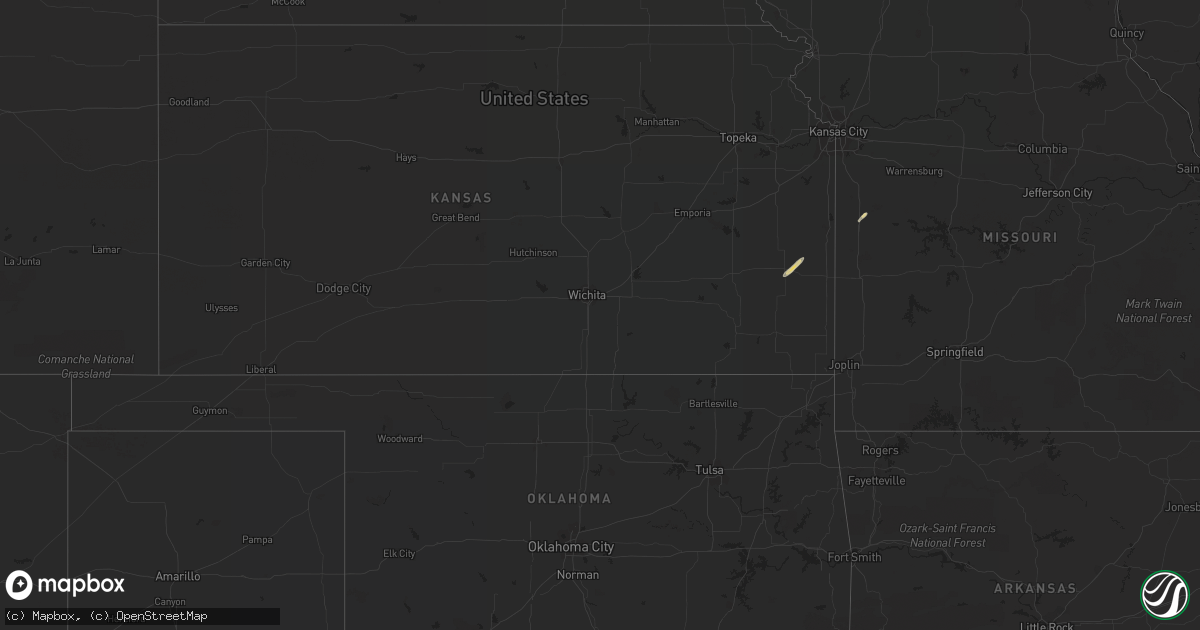
Get this storm
November 27 map
$229
one time, instant access
Download today. No call, no setup
Keep the $229
Bought the map and want the full workflow? Apply the entire $229 to a subscription within 7 days. None of it is wasted.
Every map, not just this one
This buys you this map. Subscription and you get every map we run, in the markets you choose from a few cities to whole states to nationwide. Plus real-time alerts the moment a storm fires.
Contact data
Name, contact info, occupancy, even credit band for addresses in the footprint. You go from where it hit to who to call.
Become the source they trust
Unlimited branding weather history reports on demand. You already have the documented answer ready for the property owner, and you are the one who showed up with it.
Property data and RoofTrace estimates
Pull up any address you have got, its value and the exact code rules for that jurisdiction, straight from One Click Code. Then RoofTrace estimates the squares, pitch, and roof value, priced the way you price.
Storm reports
Nebraska
| Date | Description |
|---|---|
| 11/27/20165:02 PM CST | Another brief touchdown associated with the same storm that has been producing intermittent funnel clouds and tornadoes. Tornado has lifted for the moment. |
| 11/27/20164:36 PM CST | Splatter on home just ne of town of amboy but home not damaged. Outbuilding flipped on property. Trees and powerlines down in spots. Irrigation pivots overturned. Time |
| 11/27/20164:32 PM CST | Cone-shaped tornado touched down and has been intermittently touching down since 432 pm. Some dmg reported. |
| 11/27/20164:09 PM CST | Brief tornado touchdown. Funnel was on the ground for less than 60 sec. Time and location est fm radar. |
| 11/27/20164:06 PM CST | Video confirmation of brief tornado. Time provided by storm chaser. Locations est fm radar. |
Arizona
| Date | Description |
|---|---|
| 11/27/20163:20 PM CST | A metal shed was blown into power lines... Snapping a power pole and knocking out electricity to 2000 customers in bullhead city. Rain showers and a gust front were ind |
Oklahoma
| Date | Description |
|---|---|
| 11/27/20162:35 AM CST | Damage to outbuilding and trees blown down. |