Hail Map on November 24, 2014
Get this storm
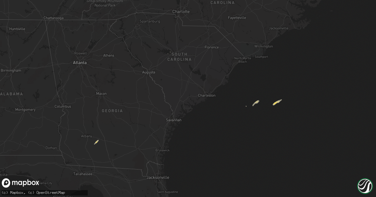
November 24 map
$229
one time, instant access
Download today. No call, no setup
Keep the $229
Bought the map and want the full workflow? Apply the entire $229 to a subscription within 7 days. None of it is wasted.
Every map, not just this one
This buys you this map. Subscription and you get every map we run, in the markets you choose from a few cities to whole states to nationwide. Plus real-time alerts the moment a storm fires.
Contact data
Name, contact info, occupancy, even credit band for addresses in the footprint. You go from where it hit to who to call.
Become the source they trust
Unlimited branding weather history reports on demand. You already have the documented answer ready for the property owner, and you are the one who showed up with it.
Property data and RoofTrace estimates
Pull up any address you have got, its value and the exact code rules for that jurisdiction, straight from One Click Code. Then RoofTrace estimates the squares, pitch, and roof value, priced the way you price.
States Impacted by Hail Map on November 24, 2014
Storm reports
Michigan
| Date | Description |
|---|---|
| 11/24/20143:30 PM CST | A local report indicates 62 MPH wind near MACOMB TOWNSHIP |
Ohio
| Date | Description |
|---|---|
| 11/24/20141:00 PM CST | A local report indicates 60 MPH wind near MILLBURY |
| 11/24/201410:28 AM CST | One tree downed on forest ridge drive. |
| 11/24/201410:26 AM CST | One tree downed on new england ave near high street. |
| 11/24/201410:25 AM CST | One tree downed on olentangy river road near troon trail. |
| 11/24/201410:22 AM CST | A local report indicates 61 MPH wind near KOSU OSU AIRPORT |
| 11/24/20149:25 AM CST | Tree down |
| 11/24/20148:57 AM CST | Power pole broken off |
| 11/24/20148:52 AM CST | Multiple utility lines down |
| 11/24/20148:27 AM CST | Utility wires down |
| 11/24/20148:20 AM CST | A few large limbs down. |
Indiana
| Date | Description |
|---|---|
| 11/24/201411:30 AM CST | 10 inch diameter tree uprooted. |
| 11/24/20147:05 AM CST | Trees were knocked down in centerville. |
| 11/24/20146:54 AM CST | Trees down in cambridge city |
| 11/24/20146:32 AM CST | Trees down. |
| 11/24/20146:07 AM CST | Delayed report. |
South Carolina
| Date | Description |
|---|---|
| 11/24/20143:15 PM CST | Public reported trees down in coatsworth subdivision off of st.andrews. |