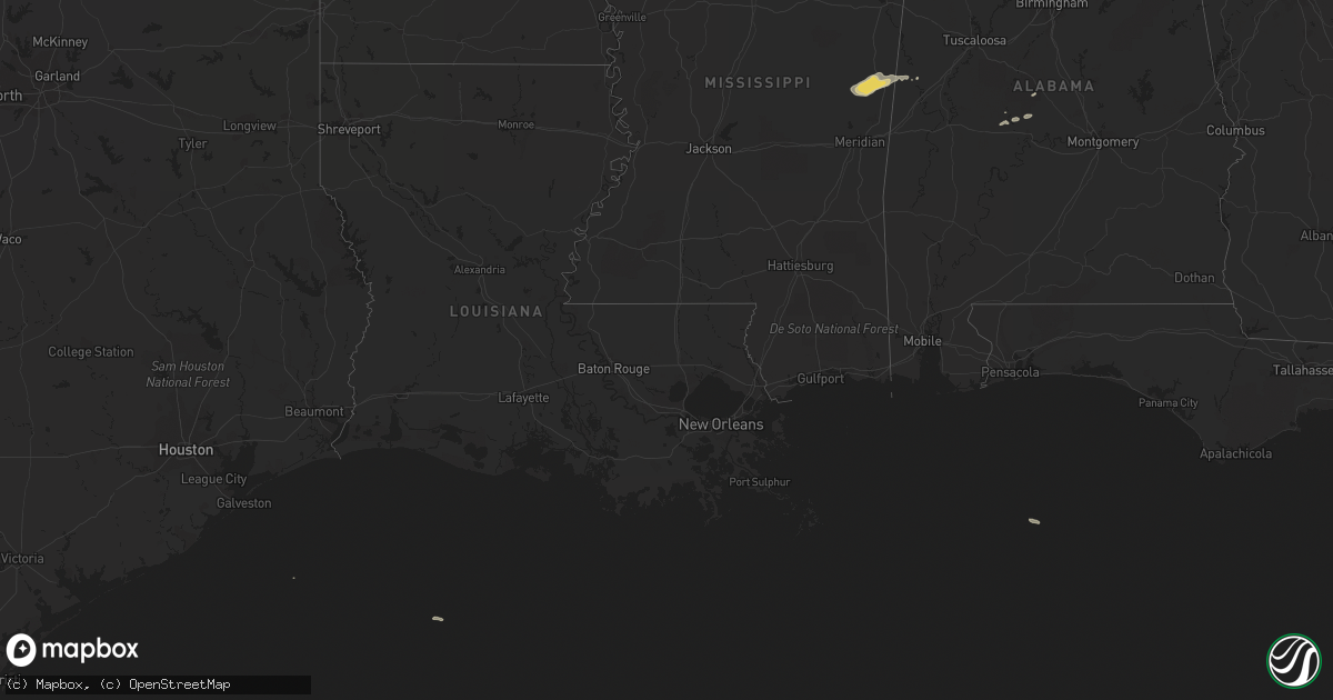
Hail Map on November 22, 2011
Get this storm
November 22 map
$229
one time, instant access
Download today. No call, no setup
Keep the $229
Bought the map and want the full workflow? Apply the entire $229 to a subscription within 7 days. None of it is wasted.
Every map, not just this one
This buys you this map. Subscription and you get every map we run, in the markets you choose from a few cities to whole states to nationwide. Plus real-time alerts the moment a storm fires.
Contact data
Name, contact info, occupancy, even credit band for addresses in the footprint. You go from where it hit to who to call.
Become the source they trust
Unlimited branding weather history reports on demand. You already have the documented answer ready for the property owner, and you are the one who showed up with it.
Property data and RoofTrace estimates
Pull up any address you have got, its value and the exact code rules for that jurisdiction, straight from One Click Code. Then RoofTrace estimates the squares, pitch, and roof value, priced the way you price.
States Impacted by Hail Map on November 22, 2011
Storm reports
Mississippi
| Date | Description |
|---|---|
| 11/22/20112:04 PM CST | Chicken houses damaged near meehan |
| 11/22/20111:45 PM CST | Trees down near exit 152 on i-20/i-59. |
| 11/22/20111:40 PM CST | Houses damaged on minnow bucket road |
| 11/22/20111:35 PM CST | Trees and power lines down on myrtle drive |
| 11/22/20111:30 PM CST | Several trees downed around kemper county |
| 11/22/20111:30 PM CST | A wall of a convenience store was collapsed at i-20 and 22nd ave |
| 11/22/20111:17 PM CST | Reported at meehan fire dept |
| 11/22/20111:15 PM CST | Tree downed along ms highway 493 just south of ms highway 16 |
| 11/22/20111:15 PM CST | High winds blew some shingles off a roof and knocked a basketball goal over |
| 11/22/20111:15 PM CST | High winds blew some shingles off a roof and knocked a basketball goal over |
| 11/22/201112:55 PM CST | Fallen tree blocking cr 2642 east of philadelphia |
| 11/22/201112:55 PM CST | Tree downed on cr 717 se of philadelphia |
| 11/22/201112:45 PM CST | Tree downed blocking cr 311 |
| 11/22/201112:20 PM CST | Multiple trees down across all of scott county |
| 11/22/201112:20 PM CST | Trees downed along ms highway 492 se of walnut grove...near golden memorial park |
| 11/22/201112:20 PM CST | Trees downed along ms highway 487 e |
| 11/22/201112:15 PM CST | Trees down on red dog rd between highways 25 and 35. |
| 11/22/201112:13 PM CST | Tree downed at magee city park |
| 11/22/201112:10 PM CST | Trees down highway 13 near goodhope. |
| 11/22/201112:05 PM CST | Trees downed along ms highway 487 just north of lena |
| 11/22/201111:50 AM CST | Trees downed along bowman circle |
| 11/22/201111:40 AM CST | Trees...large limbs...and power lines downed along a general path from the cleary community...through whitfield...and to the east side of brandon along andrew chapel rd |
| 11/22/201111:38 AM CST | Trees down on louis wilson rd and highway 18 and also one power pole. |
| 11/22/201111:30 AM CST | Numerous trees down. |
| 11/22/201111:28 AM CST | Tree fell on house and power lines down on dona lane in south jackson. |
| 11/22/201111:15 AM CST | Roof damage to a house on wynndale rd. |
Georgia
| Date | Description |
|---|---|
| 11/21/20119:40 PM CST | Chicken house destroyed. No damage to two other nearby chicken houses. Time estimated based on radar. |