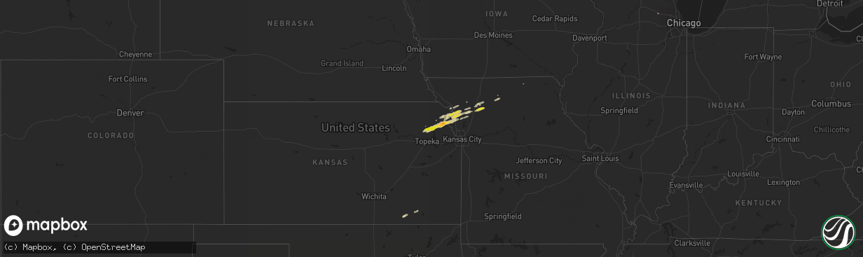
Hail Map on November 16, 2013
The weather event on November 16, 2013 includes Hail map. 4 states and 53 cities were impacted and suffered possible damage. The total estimated number of properties impacted is 5,881.
Want more than just the map?
Turn this storm into a full workflow.
- Owner + property data so you know who to knock
- OnDemand branded weather history reports to win the "did we even have hail?" argument
- RoofTrace estimate so reps stop guessing numbers at the door
Bought this map? Upgrade within 7 days and we'll credit the $230. (10-15 min setup call)
Hail
5,881
Estimated number of impacted properties by a 1.00" hail or larger0
Estimated number of impacted properties by a 1.75" hail or larger0
Estimated number of impacted properties by a 2.50" hail or largerStorm reports
Illinois
| Date | Description |
|---|---|
| 11/16/201312:12 AM CST | Also had marble size hail. |
| 11/16/201312:00 AM CST | No damage. Also had penny size 0.75 hail and heavy rainfall. |
Missouri
| Date | Description |
|---|---|
| 11/15/20138:21 PM CST | A local report indicates 1.00 inch wind near EASTON |
| 11/15/20138:20 PM CST | Size estimated from photo |
| 11/15/20138:07 PM CST | Delayed report...quarter size hail from second storm to move through |
| 11/15/20138:05 PM CST | A local report indicates 1.00 inch wind near 1 N AGENCY |
| 11/15/20136:53 PM CST | Delayed report...quarter size hail |
| 11/15/20136:40 PM CST | Delayed report...severe straight-line winds destroyed a garage and outbuilding along sandy lane. Hail covered the ground...size unknown. |
Kansas
| Date | Description |
|---|---|
| 11/15/20137:01 PM CST | Delayed report...storm chaser drove through hail up to golfball size...confirmed by video |
| 11/15/20136:43 PM CST | A local report indicates 1.00 inch wind near NNW VALLEY FALLS |
| 11/15/20136:26 PM CST | A local report indicates 1.00 inch wind near 4 ESE MAYETTA |
Cities Impacted by Hail Map on November 16, 2013
- Cummings, KS
- Atchison, KS
- Nortonville, KS
- Valley Falls, KS
- Queen City, MO
- Agency, MO
- Saint Joseph, MO
- Easton, MO
- Gallatin, MO
- Altamont, MO
- Gower, MO
- Meriden, KS
- Hoyt, KS
- De Kalb, MO
- Mayetta, KS
- Dearborn, MO
- Faucett, MO
- Denison, KS
- Weston, MO
- Rushville, MO
- Laredo, MO
- Trenton, MO
- Galt, MO
- Cedar Vale, KS
- Hamilton, MO
- Kidder, MO
- Dover, AR
- Maysville, MO
- Cameron, MO
- Stewartsville, MO
- Osborn, MO
- Hampshire, IL
- Wathena, KS
- Elk City, KS
- Sedan, KS
- Longton, KS
- Plattsburg, MO
- Pelsor, AR
- Hagarville, AR
- Jameson, MO
- Weatherby, MO
- Winston, MO
- Holton, KS
- Cosby, MO
- Helena, MO
- Savannah, MO
- Troy, KS
- Effingham, KS
- Hector, AR
- Winchester, KS
- Lancaster, KS
- Bendena, KS
- Clarksdale, MO