Hail Map on November 15, 2025
Get this storm
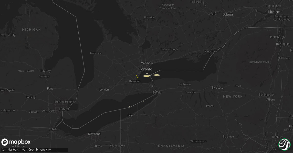
November 15 map
$229
one time, instant access
Download today. No call, no setup
Keep the $229
Bought the map and want the full workflow? Apply the entire $229 to a subscription within 7 days. None of it is wasted.
Every map, not just this one
This buys you this map. Subscription and you get every map we run, in the markets you choose from a few cities to whole states to nationwide. Plus real-time alerts the moment a storm fires.
Contact data
Name, contact info, occupancy, even credit band for addresses in the footprint. You go from where it hit to who to call.
Become the source they trust
Unlimited branding weather history reports on demand. You already have the documented answer ready for the property owner, and you are the one who showed up with it.
Property data and RoofTrace estimates
Pull up any address you have got, its value and the exact code rules for that jurisdiction, straight from One Click Code. Then RoofTrace estimates the squares, pitch, and roof value, priced the way you price.
States Impacted by Hail Map on November 15, 2025
Storm reports
California
| Date | Description |
|---|---|
| 11/15/20259:49 AM CST | Large tree down blocking olive mill rd near danielson rd. |
| 11/15/20259:25 AM CST | Rocks across piru canyon rd. |
| 11/15/20259:16 AM CST | Tree down on 100 block of rockaway rd. |
| 11/15/20259:00 AM CST | A strong squall line moved across the city of los angeles. Per emergency managers... 58 trees were blown down across the city. |
| 11/15/20258:46 AM CST | Large tree branches down on highway 110 near fair oaks ave. |
| 11/15/20258:39 AM CST | Tree down in lake balboa area. |
West Virginia
| Date | Description |
|---|---|
| 11/14/202511:50 PM CST | Tree down with power outages near rich creek rd. Time estimated by radar. |
| 11/14/202511:40 PM CST | Tree down with power outages near hunter road. Time estimated by radar. |
| 11/14/202511:30 PM CST | Tree down just west of shoals branch rd. Time estimated by radar. |
| 11/14/202511:30 PM CST | Corrects previous tstm wnd dmg report from 2 ssw beech fork state park. Tree down just west of shoals branch rd. Time estimated by radar. |
| 11/14/202511:25 PM CST | Tree down affecting 100 people with power outages near davis creek road. Time estimated by radar. |
| 11/14/202511:25 PM CST | Tree down with power outages near fort gay rd. Time estimated by radar. |
| 11/14/202510:30 PM CST | Tree down near wv 4 with power outages. Time estimated by radar. |
| 11/14/202510:05 PM CST | Tree down with power outages near smoke camp cty rt 2 cr 2. Time estimated by radar. |