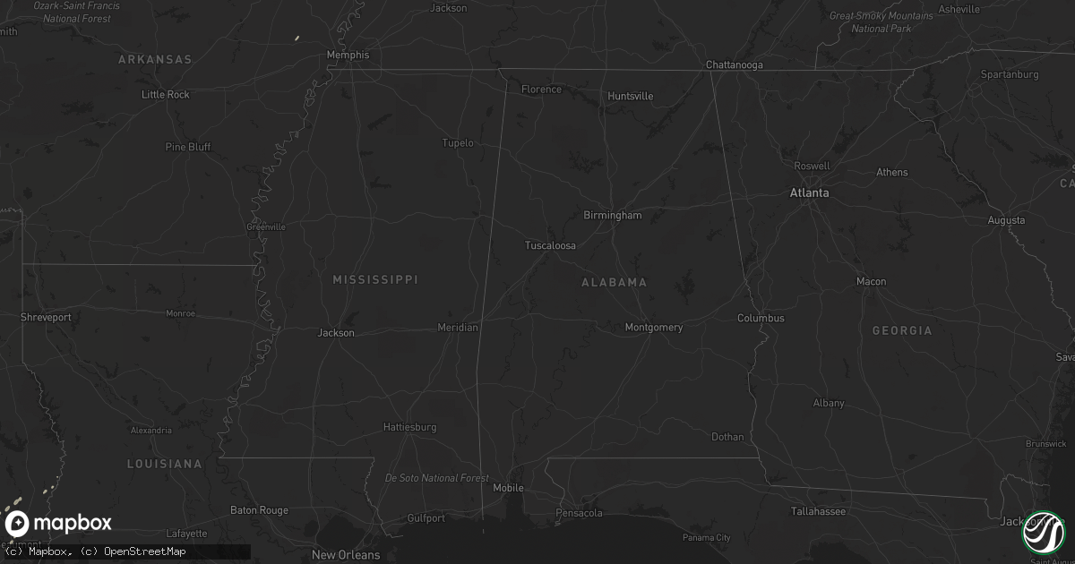
Hail Map on November 15, 2011
Get this storm
November 15 map
$229
one time, instant access
Download today. No call, no setup
Keep the $229
Bought the map and want the full workflow? Apply the entire $229 to a subscription within 7 days. None of it is wasted.
Every map, not just this one
This buys you this map. Subscription and you get every map we run, in the markets you choose from a few cities to whole states to nationwide. Plus real-time alerts the moment a storm fires.
Contact data
Name, contact info, occupancy, even credit band for addresses in the footprint. You go from where it hit to who to call.
Become the source they trust
Unlimited branding weather history reports on demand. You already have the documented answer ready for the property owner, and you are the one who showed up with it.
Property data and RoofTrace estimates
Pull up any address you have got, its value and the exact code rules for that jurisdiction, straight from One Click Code. Then RoofTrace estimates the squares, pitch, and roof value, priced the way you price.
Storm reports
Texas
| Date | Description |
|---|---|
| 11/15/20112:21 PM CST | Fire marshall and paramedics witnessed funnel touching the ground two times in a pasture with swirling dirt at the ground. Occured near the intersection of 1725 and ton |
| 11/15/201111:20 AM CST | Numerous trees snapped... Several building damaged and power lines pole broken. |
| 11/15/20116:10 AM CST | Hondo asos observation 29041g59kt |
Louisiana
| Date | Description |
|---|---|
| 11/15/20113:46 AM CST | Corrected information regarding tornado near houma. Damage was not reported at ellender high school. The damage was confined primarily to lafayette woods blvd and pipin |
| 11/15/20113:46 AM CST | Nws damage survey conducted and ef0 damage was observed. The damage was confined primarily to lafayette woods blvd and piping rock dr where large areas of shingles were |
| 11/15/20113:46 AM CST | Ef0 damage confirmed. Track length was 100 yards and width was 25 yards. Max estimated winds were 80 mph. Damage was confined primarily to lafayette woods blvd and pipi |
| 11/15/20113:35 AM CST | Confirmed tornado touch down near houma-terrebonne airport. Windows blown out at ellender memorial high school on patriot drive. Other homes and structures damaged on p |
| 11/15/20113:14 AM CST | Follow-up on earlier tornado report near the town of tangipahoa. A two story house was lifted and moved 10 feet from foundation. An unoccupied semi-tractor trailer was |
| 11/15/20112:40 AM CST | Tornado began about 5 miles northeast of greensburg. Track length was half a mile long with a width of 150 yards. Estimated max winds are around 105 mph. Damage to one |
Mississippi
| Date | Description |
|---|---|
| 11/15/20115:30 AM CST | Likely tornado...three chicken houses destroyed on cr 8120 and tree on mobile home on cr 31...reported by jasper co ema |
| 11/15/20115:12 AM CST | *** 15 inj *** ef-2 tornado with max est winds of 130 mph...path length of 12 miles with max width 300 yd. Much of the damage along the path was ef-2 in nature with at |
| 11/15/20115:07 AM CST | *** 4 inj *** likely tornado...three homes damaged with people trapped inside in shady grove community...4 peopled injured and transported to hospital but not critical. |
| 11/15/20115:03 AM CST | Ef-1 with max est winds of 95 mph. 2 mile length and max width of 50 yd. Narrow path of downed/snapped trees and one home suffered moderate roof damage. |
| 11/15/20114:13 AM CST | Likely tornado...up to a quarter mile wide swath of trees down along bunker hill and grice roads...trees down on a few houses and sheds destroyed...reported by marion s |
| 11/15/20114:11 AM CST | Ef-1 with max est winds of 100 mph. Path length 11 miles and max width 0.25 miles. Substantial tree damage along the path and several homes and buildings suffered signi |
| 11/15/20111:20 AM CST | Tree fell through the living room of an uninhabited mobile home...reported by wtok-tv |
Cities Impacted by Hail Map on November 15, 2011
- Arthur City, TX
- Powderly, TX
- Horse Cave, KY
- Hardyville, KY
- Canmer, KY
- Munfordville, KY
- Hondo, TX
- Cleveland, TX
- Coldspring, TX
- Grant, OK
- Weimar, TX
- Nashoba, OK
- Rattan, OK
- Bon Wier, TX
- Burkeville, TX
- Newton, TX
- Silsbee, TX
- Spring, TX
- Kirbyville, TX
- Fred, TX
- Hopkinsville, KY
- Pembroke, KY
- Bedias, TX
- Maxwell, TX
- Conroe, TX
- Seguin, TX
- Stockdale, TX
- D Hanis, TX
- Gonzales, TX
- Kyle, TX
- Buda, TX
- Cave City, KY
- Magnolia, KY
- Kountze, TX
- Beaumont, TX
- Kingsbury, TX
- Hallettsville, TX
- Larue, TX
- Montalba, TX
- Athens, TX
- Palestine, TX
- Trenton, KY
- Schulenburg, TX
- McQueeney, TX
- Puryear, TN