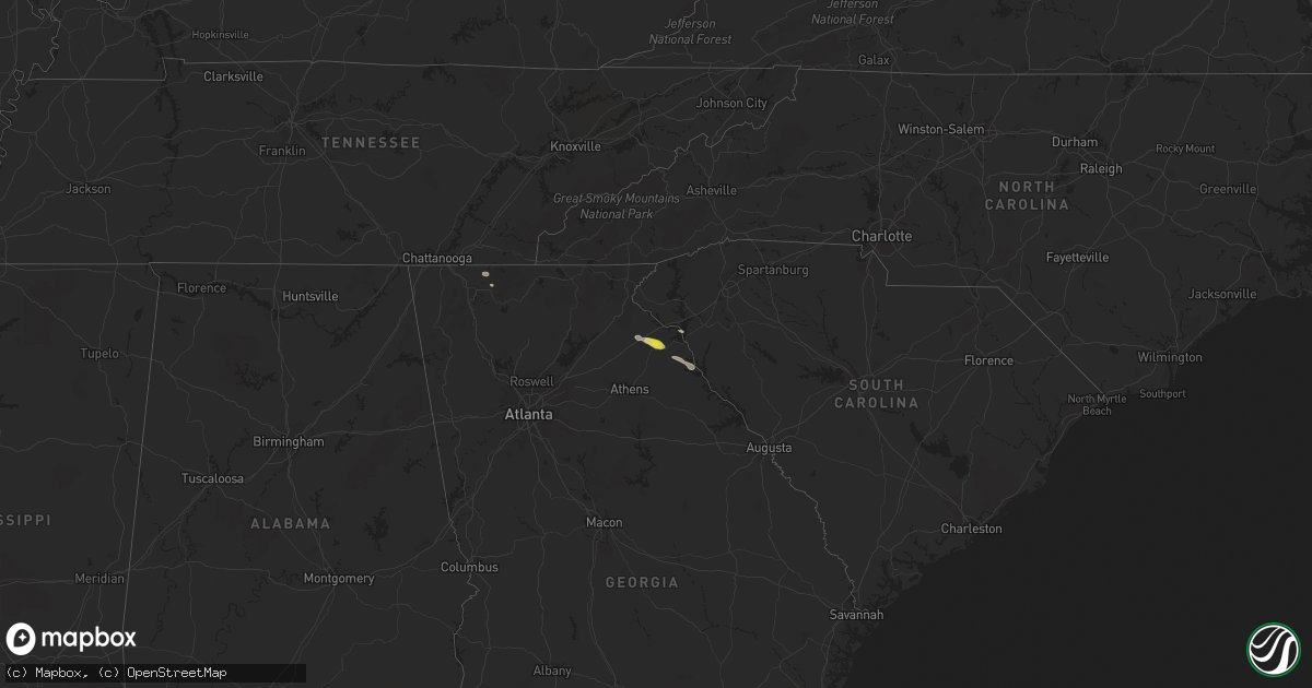
Hail Map on November 7, 2017
Get this storm
November 7 map
$229
one time, instant access
Download today. No call, no setup
Keep the $229
Bought the map and want the full workflow? Apply the entire $229 to a subscription within 7 days. None of it is wasted.
Every map, not just this one
This buys you this map. Subscription and you get every map we run, in the markets you choose from a few cities to whole states to nationwide. Plus real-time alerts the moment a storm fires.
Contact data
Name, contact info, occupancy, even credit band for addresses in the footprint. You go from where it hit to who to call.
Become the source they trust
Unlimited branding weather history reports on demand. You already have the documented answer ready for the property owner, and you are the one who showed up with it.
Property data and RoofTrace estimates
Pull up any address you have got, its value and the exact code rules for that jurisdiction, straight from One Click Code. Then RoofTrace estimates the squares, pitch, and roof value, priced the way you price.
States Impacted by Hail Map on November 7, 2017
Storm reports
South Carolina
| Date | Description |
|---|---|
| 11/07/20173:45 PM CST | Mccormick co dispatch reported 2 trees down in mt. Carmel... One on mars bridge rd and one on hwy 823. Time estimated based on radar. |
Tennessee
| Date | Description |
|---|---|
| 11/07/20178:30 AM CST | *** 1 inj *** single wide mobile home blown off of foundation on county road 100. Time estimated. |
| 11/07/20178:30 AM CST | Trees and power lines down near county road 561 and pine street. Time estimated. |
Georgia
| Date | Description |
|---|---|
| 11/07/20172:45 PM CST | 911 call center reported a few scattered trees down around hartwell |
| 11/07/20172:35 PM CST | 911 call center reported a tree down on fowler st. In canon |
| 11/07/20172:35 PM CST | 911 call center reported power lines down on starrs bridge rd in canon |
| 11/07/20172:25 PM CST | 911 call center reported a tree down on power lines on jackson bridge rd near the skating rink |