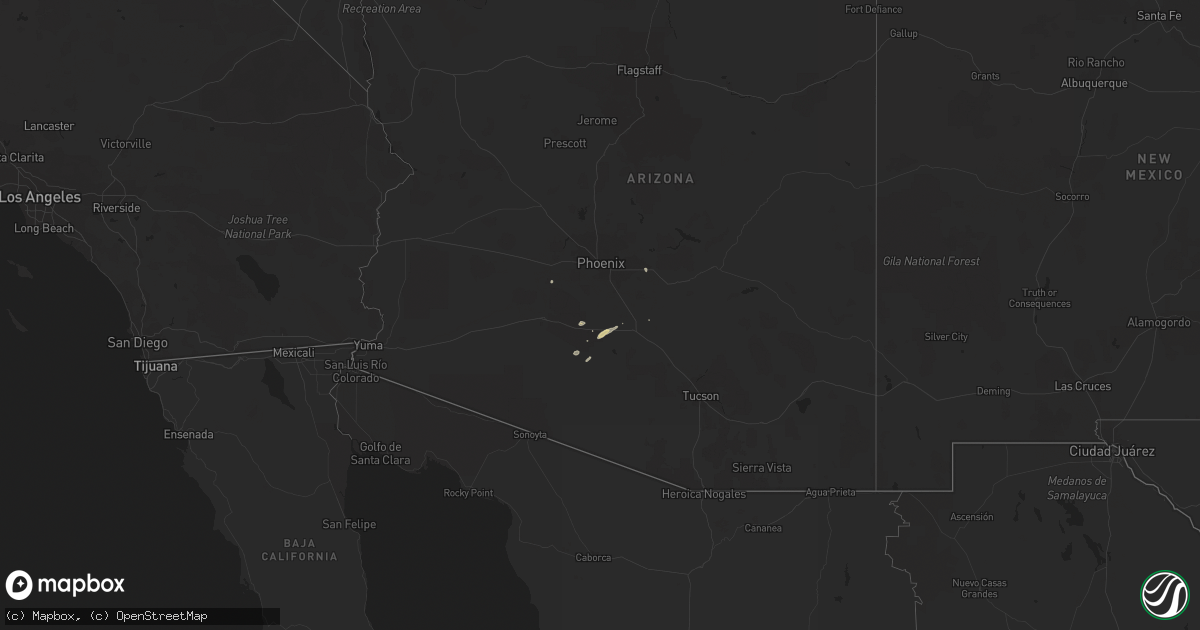
Hail Map on October 29, 2015
Get this storm
October 29 map
$229
one time, instant access
Download today. No call, no setup
Keep the $229
Bought the map and want the full workflow? Apply the entire $229 to a subscription within 7 days. None of it is wasted.
Every map, not just this one
This buys you this map. Subscription and you get every map we run, in the markets you choose from a few cities to whole states to nationwide. Plus real-time alerts the moment a storm fires.
Contact data
Name, contact info, occupancy, even credit band for addresses in the footprint. You go from where it hit to who to call.
Become the source they trust
Unlimited branding weather history reports on demand. You already have the documented answer ready for the property owner, and you are the one who showed up with it.
Property data and RoofTrace estimates
Pull up any address you have got, its value and the exact code rules for that jurisdiction, straight from One Click Code. Then RoofTrace estimates the squares, pitch, and roof value, priced the way you price.
States Impacted by Hail Map on October 29, 2015
Storm reports
Texas
| Date | Description |
|---|---|
| 10/29/20156:53 AM CDT | Willacy county em reported 7 to 8 structures with roofs blown off and windows broken...as well as several cars damaged from the intersection of fm 490 and 1420 soutwest |
| 10/29/20156:53 AM CDT | *** 1 inj *** willacy county em reported wind damage at the intersection of fm 490 and fm 1420. Windows were blown out of several cars and the roof was torn off of a mo |
| 10/29/20156:38 AM CDT | Webcam video shows large barn destroyed on fm 507...about 1 mile north of fm 1018 in south central willacy county. Emergency management also reported several power pole |
| 10/29/20156:05 AM CDT | Social media and the emergency manager reports damage to the high school in floresville. Pictures show a hole in the wall with damage where the roof meets the walls. |
| 10/29/20155:00 AM CDT | Ef-0 damage...tornado touched down between 400-405 am cdt...3.0 miles path length...100 yards max width...85 mph max wind speed. |
| 10/29/20154:08 AM CDT | Medina co sheriff reports tree damage and some homes damaged in the town of dhanis |
Maine
| Date | Description |
|---|---|
| 10/29/20155:00 PM CDT | Tree down on lee rd/route 6 |
| 10/29/20154:55 PM CDT | Tree down in town and tree limbs on powerlines causing power outages |
| 10/29/20154:50 PM CDT | Trees on power line resulting in power outages. |
| 10/29/20154:50 PM CDT | Tree down in town. |
| 10/29/20154:30 PM CDT | Trees down |
New York
| Date | Description |
|---|---|
| 10/29/20159:00 AM CDT | Tree on home and car on manitoba st |