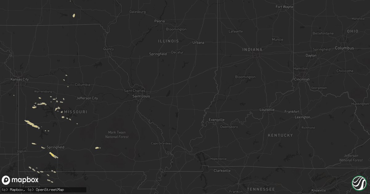
Hail Map on October 12, 2011
Get this storm
October 12 map
$229
one time, instant access
Download today. No call, no setup
Keep the $229
Bought the map and want the full workflow? Apply the entire $229 to a subscription within 7 days. None of it is wasted.
Every map, not just this one
This buys you this map. Subscription and you get every map we run, in the markets you choose from a few cities to whole states to nationwide. Plus real-time alerts the moment a storm fires.
Contact data
Name, contact info, occupancy, even credit band for addresses in the footprint. You go from where it hit to who to call.
Become the source they trust
Unlimited branding weather history reports on demand. You already have the documented answer ready for the property owner, and you are the one who showed up with it.
Property data and RoofTrace estimates
Pull up any address you have got, its value and the exact code rules for that jurisdiction, straight from One Click Code. Then RoofTrace estimates the squares, pitch, and roof value, priced the way you price.
States Impacted by Hail Map on October 12, 2011
Storm reports
Missouri
| Date | Description |
|---|---|
| 10/12/20116:44 PM CDT | A local report indicates 1.00 inch wind near HALLTOWN |
| 10/12/20115:57 PM CDT | Hail covering the ground. |
| 10/11/20118:03 PM CDT | A local report indicates 1.00 inch wind near SPOKANE |
| 10/11/20117:26 PM CDT | Public reports hail between quarter and half dollar size...lasted approximately 5-10 minutes. |
Texas
| Date | Description |
|---|---|
| 10/12/20116:00 PM CDT | *** 1 inj *** at fm2285 and fm2286 tree fell on mobile home injuring one woman. Nws storm survey confirmed this as an ef-0 tornado. |
| 10/12/20115:46 PM CDT | Numerous trees down. Power out in the area. |
| 10/12/20115:35 PM CDT | A local report indicates 61 MPH wind near CLEVELAND |
| 10/12/20115:30 PM CDT | *** 1 inj *** at fm2285 and fm2286 tree fell on mobile home injuring one woman. |
| 10/12/20115:21 PM CDT | Numerous trees and power lines down |
| 10/12/20115:11 PM CDT | Numerous trees and power lines down |
Arkansas
| Date | Description |
|---|---|
| 10/12/20115:55 PM CDT | Reported at holiday island |
| 10/11/20117:03 PM CDT | Brief tornado occurred in an open field near berryville. No damage reported. |
Minnesota
| Date | Description |
|---|---|
| 10/12/20112:45 PM CDT | Also received 1 inch of rain in 10 min. |
Cities Impacted by Hail Map on October 12, 2011
- Cloquet, MN
- Seligman, MO
- Washburn, MO
- Pioneer, LA
- Green Forest, AR
- Oak Grove, AR
- Omaha, AR
- Edwards, MO
- New Sharon, IA
- Oskaloosa, IA
- Beacon, IA
- Leighton, IA
- Chilhowee, MO
- Miller, MO
- Mount Vernon, MO
- Ash Grove, MO
- Fair Play, MO
- Drakesville, IA
- Unionville, IA
- Rugby, ND
- Walker, MO
- El Dorado Springs, MO
- Nevada, MO
- Cruger, MS
- Tchula, MS
- Hale, MO
- Sumner, MO
- Riverside, IA
- Cleveland, TX
- Dayton, TX
- Sturgeon Lake, MN
- Slaughter, LA
- Blairstown, MO
- Liberty, TX
- Clinton, MO
- Calhoun, MO
- Clever, MO
- Crane, MO
- Highlandville, MO
- Billings, MO
- Nixa, MO
- Kalona, IA
- Wellman, IA
- Yukon, MO
- Willow Springs, MO
- Elk Creek, MO
- Butler, MO
- Montrose, MO
- Alpena, AR
- Upham, ND
- Jasper, MO
- Golden City, MO
- Seadrift, TX
- Stover, MO
- Florence, MO
- Willow River, MN
- Roach, MO
- Macks Creek, MO
- Pineville, MO
- Powell, MO
- Ozark, MO
- Spokane, MO
- Garfield, AR
- Stockton, MO
- Paola, KS
- Cole Camp, MO
- Mora, MO
- Saint Paul, MN
- Byron, MN
- Pine Island, MN
- Oronoco, MN
- Boonville, MO
- Richards, MO
- Eureka Springs, AR
- Mohall, ND
- Windsor, MO
- Brimson, MN
- Saint Martinville, LA
- Urich, MO
- Grosse Tete, LA
- Lincoln, MO
- Alden, IA
- Radcliffe, IA
- Camdenton, MO
- Knoxville, IA
- Lyndon, KS
- Quenemo, KS
- Warsaw, MO
- Cross Timbers, MO
- Climax Springs, MO
- Berryville, AR
- Sedalia, MO
- Ionia, MO
- Green Ridge, MO
- Lampe, MO
- Blue Eye, MO
- Melvern, KS
- Stoutland, MO
- Nelson, MO
- Marshall, MO
- Bastrop, LA
- Red Springs, NC
- Maxton, NC
- Beebe, AR
- Huntsville, AR
- Summersville, MO
- Zachary, LA
- Maysville, NC
- Williams, IA
- Lake Providence, LA
- Moose Lake, MN