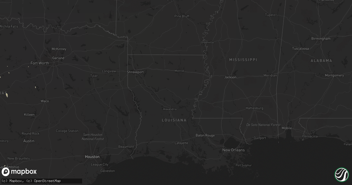
Hail Map on October 8, 2011
Get this storm
October 8 map
$229
one time, instant access
Download today. No call, no setup
Keep the $229
Bought the map and want the full workflow? Apply the entire $229 to a subscription within 7 days. None of it is wasted.
Every map, not just this one
This buys you this map. Subscription and you get every map we run, in the markets you choose from a few cities to whole states to nationwide. Plus real-time alerts the moment a storm fires.
Contact data
Name, contact info, occupancy, even credit band for addresses in the footprint. You go from where it hit to who to call.
Become the source they trust
Unlimited branding weather history reports on demand. You already have the documented answer ready for the property owner, and you are the one who showed up with it.
Property data and RoofTrace estimates
Pull up any address you have got, its value and the exact code rules for that jurisdiction, straight from One Click Code. Then RoofTrace estimates the squares, pitch, and roof value, priced the way you price.
Storm reports
Florida
| Date | Description |
|---|---|
| 10/08/20112:21 PM CDT | Indian river sheriff reported power lines and pine tree down near intersection of 41st street and 58th court in vero beach. |
| 10/08/201112:00 PM CDT | Brevard county sheriff reported 50 foot tall 1 foot diameter tree fell near intersection of coconut grove ave. And lime grove ave. In west melbourne. |
| 10/07/201110:30 PM CDT | Strong thunderstorm wind gusts brought down several 3 and 4 inch tree branches...snapped a power pole...and twisted trees in the community of tavernier. Time is estimat |
Texas
| Date | Description |
|---|---|
| 10/08/20111:20 AM CDT | Several postal trucks overturned on valley hi dr. Near loop 410 in sw san antonio |
Cities Impacted by Hail Map on October 8, 2011
- Del Rio, TX
- Dryden, TX
- Ozona, TX
- Comstock, TX
- Mcadoo, TX
- Dickens, TX
- Rocksprings, TX
- Sanderson, TX
- Marathon, TX
- Crystal City, TX
- Quemado, TX
- Eagle Pass, TX
- Sonora, TX
- Carrizo Springs, TX
- Barksdale, TX
- Osborne, KS
- Abilene, TX
- Uvalde, TX
- Sweetwater, TX
- Brackettville, TX
- Morgan, TX
- Coleman, TX
- Mullin, TX
- Ovalo, TX
- Christoval, TX
- Eldorado, TX
- Eden, TX
- Ranger, TX
- Weatherford, TX
- Merkel, TX
- Comanche, TX
- Priddy, TX
- Junction, TX
- San Antonio, TX