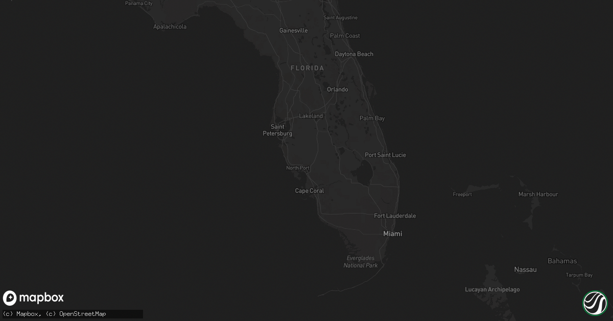
Hail Map on October 6, 2013
Get this storm
October 6 map
$229
one time, instant access
Download today. No call, no setup
Keep the $229
Bought the map and want the full workflow? Apply the entire $229 to a subscription within 7 days. None of it is wasted.
Every map, not just this one
This buys you this map. Subscription and you get every map we run, in the markets you choose from a few cities to whole states to nationwide. Plus real-time alerts the moment a storm fires.
Contact data
Name, contact info, occupancy, even credit band for addresses in the footprint. You go from where it hit to who to call.
Become the source they trust
Unlimited branding weather history reports on demand. You already have the documented answer ready for the property owner, and you are the one who showed up with it.
Property data and RoofTrace estimates
Pull up any address you have got, its value and the exact code rules for that jurisdiction, straight from One Click Code. Then RoofTrace estimates the squares, pitch, and roof value, priced the way you price.
States Impacted by Hail Map on October 6, 2013
Storm reports
Ohio
| Date | Description |
|---|---|
| 10/06/20136:32 PM CDT | Large limbs down on golf course |
| 10/06/20136:30 PM CDT | Four trees reported down by thunderstorm winds in and around berlin |
| 10/06/20136:00 PM CDT | One tree reported down by thunderstorm winds. |
| 10/06/20135:55 PM CDT | One tree reported down on power lines. |
| 10/06/20135:45 PM CDT | One tree reported down by thunderstorm winds. |
| 10/06/20134:15 PM CDT | Large tree limbs down |
| 10/06/20133:40 PM CDT | A few trees down and power outages near rocky fork state park |
| 10/06/20133:30 PM CDT | One tree down near buckley road and route 247 |
| 10/05/20137:15 PM CDT | Three trees down. |
| 10/05/20137:10 PM CDT | One tree reported down by thunderstorm winds. |
| 10/05/20137:05 PM CDT | A large limb down. |
| 10/05/20137:00 PM CDT | Two large limbs down in copley. |
| 10/05/20137:00 PM CDT | One tree reported down by thunderstorm winds. |
Michigan
| Date | Description |
|---|---|
| 10/06/20134:20 PM CDT | Several willow trees and powerline poles down. |
Kentucky
| Date | Description |
|---|---|
| 10/06/20133:15 PM CDT | Dispatch reports trees and power lines down across the city along with power outages |
| 10/06/20132:28 PM CDT | Report via twitter of tree down on power lines on standish way off of versailles rd. |
| 10/06/20132:20 PM CDT | Large tree reported down across the road near alexandria and cambridge drives with one lane impassable |
| 10/06/20132:12 PM CDT | Dispatch reports large tree limbs down near the intersection of alumni dr. And turkey foot rd. |
North Carolina
| Date | Description |
|---|---|
| 10/06/20132:01 AM CDT | Large tree down on power line along ball park road. |