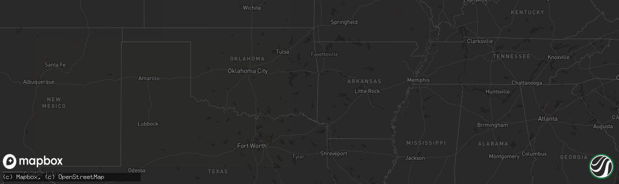
Hail Map on September 30, 2022
The weather event on September 30, 2022 includes Hail and Tornado maps. 4 states and 9 cities were impacted and suffered possible damage. The total estimated number of properties impacted is 0.
Want more than just the map?
Turn this storm into a full workflow.
- Owner + property data so you know who to knock
- OnDemand branded weather history reports to win the "did we even have hail?" argument
- RoofTrace estimate so reps stop guessing numbers at the door
Bought this map? Upgrade within 7 days and we'll credit the $230. (10-15 min setup call)
Hail
Tornado
0
Estimated number of impacted properties by a 1.00" hail or larger0
Estimated number of impacted properties by a 1.75" hail or larger0
Estimated number of impacted properties by a 2.50" hail or largerStates Impacted by Hail Map on September 30, 2022
Storm reports
Utah
| Date | Description |
|---|---|
| 09/29/20228:26 PM CDT | At 125 PM MDT, a severe thunderstorm was located 16 miles east of Capitol Reef National Park, moving east at 20 mph. HAZARD...60 mph wind gusts and quarter size hail. SOURCE...Radar indicated. IMPACT...Hail damage to vehicles is expected. Expect wind damage to roofs, siding, and trees. This severe thunderstorm will remain over mainly rural areas of northeastern Garfield and south central Wayne Counties.This includes the following highways... Utah Route 95 between mile markers 10 and 27. Utah Route 276 between mile markers 0 and 1. |
North Carolina
| Date | Description |
|---|---|
| 09/30/20226:42 PM CDT | Tree reported down on roadway at county line rd and willow creek rd. |
| 09/30/20226:31 PM CDT | Report from mping: trees uprooted or snapped; roof blown off. |
| 09/29/20228:06 PM CDT | Report from mping: trees uprooted or snapped;. |
| 09/29/20228:00 PM CDT | Tree down in roadway at 5400-blk reidsville road. |
| 09/29/20227:55 PM CDT | Report from mping: trees uprooted or snapped. |
| 09/29/20227:21 PM CDT | Tree fell through a home on marlboro church road near sophia. |
Colorado
| Date | Description |
|---|---|
| 09/29/202210:45 PM CDT | At 344 PM MDT, a severe thunderstorm was located 9 miles west of Parachute, or 32 miles northeast of Grand Junction, moving east at 45 mph. HAZARD...60 mph wind gusts and nickel size hail. SOURCE...Radar indicated. IMPACT...Expect damage to roofs, siding, and trees. This severe thunderstorm will be near... Parachute around 355 PM MDT. This includes the following highways... Interstate 70 in Colorado between mile markers 70 and 87. Colorado 13 between mile markers 11 and 13. |
| 09/29/202210:17 PM CDT | At 317 PM MDT, a severe thunderstorm was located 20 miles northwest of De Beque, or 26 miles north of Grand Junction, moving northeast at 40 mph. HAZARD...60 mph wind gusts and quarter size hail. SOURCE...Radar indicated. IMPACT...Hail damage to vehicles is expected. Expect wind damage to roofs, siding, and trees. This severe thunderstorm will remain over mainly rural areas of north central Mesa, southwestern Garfield and south central Rio Blanco Counties. This includes Interstate 70 in Colorado between mile markers 67 and72. |