Hail Map on September 30, 2012
Get this storm
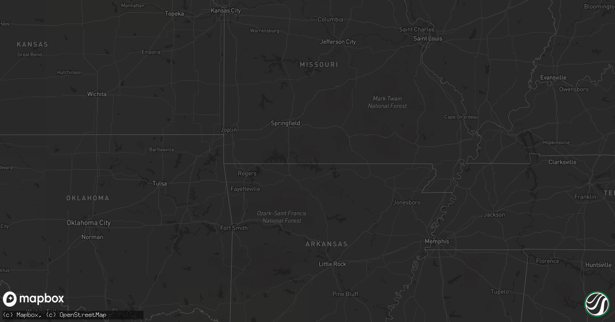
September 30 map
$229
one time, instant access
Download today. No call, no setup
Keep the $229
Bought the map and want the full workflow? Apply the entire $229 to a subscription within 7 days. None of it is wasted.
Every map, not just this one
This buys you this map. Subscription and you get every map we run, in the markets you choose from a few cities to whole states to nationwide. Plus real-time alerts the moment a storm fires.
Contact data
Name, contact info, occupancy, even credit band for addresses in the footprint. You go from where it hit to who to call.
Become the source they trust
Unlimited branding weather history reports on demand. You already have the documented answer ready for the property owner, and you are the one who showed up with it.
Property data and RoofTrace estimates
Pull up any address you have got, its value and the exact code rules for that jurisdiction, straight from One Click Code. Then RoofTrace estimates the squares, pitch, and roof value, priced the way you price.
States Impacted by Hail Map on September 30, 2012
Storm reports
Nebraska
| Date | Description |
|---|---|
| 09/30/20126:51 PM CDT | Quarter hail 6 miles north of cozad. |
| 09/29/20128:20 PM CDT | A local report indicates 1.25 inch wind near 16 SW STOCKVILLE |
| 09/29/20128:00 PM CDT | Estimated time of report. |
| 09/29/20127:05 PM CDT | A local report indicates 1.00 inch wind near 2 W COZAD |
Texas
| Date | Description |
|---|---|
| 09/30/20125:40 PM CDT | Measured by west tx mesonet |
| 09/29/20127:20 PM CDT | Measured by west tx mesonet |
New Mexico
| Date | Description |
|---|---|
| 09/30/20126:43 PM CDT | Hail lasted for 10 minutes. |
Mississippi
| Date | Description |
|---|---|
| 09/30/20124:25 PM CDT | 1 brick home on pine ave has major damage including the loss of its roof. Other nearby homes have varying degrees of roof/porch damage |
| 09/30/20123:34 PM CDT | Harrison county sheriffs department relayed reports from 911 calls of a tornado touchdown on cemetery road near highway 53. |
| 09/30/20123:30 PM CDT | Reports of two trees down on county road 17 south of bay springs. Minor damage to one house occurred. |
| 09/30/20123:20 PM CDT | A weak tornado touched down along an intermittent track from the cypress lake area northeast to just southwest of the community of necaise. A few homes had minor roof d |
| 09/30/20123:00 PM CDT | Structural damage to two homes on loblolly drive. |
| 09/30/20122:03 PM CDT | Several small pine trees uprooted and snapped in the judy dahl rd. Area north of highway 24. Some trees were cleared from the roads in that area. |
Alabama
| Date | Description |
|---|---|
| 09/30/20124:47 AM CDT | A tornado touched down in coosa county just southwest of the pentonville...uprooting several pines and oak trees sporadically along the path. One large oak fell into a |
| 09/30/20124:40 AM CDT | Trees were blown down near county road 429 and the elmore and coosa county line. Possible tornado. |
Cities Impacted by Hail Map on September 30, 2012
- Tinnie, NM
- Picacho, NM
- San Jon, NM
- Curtis, NE
- Cozad, NE
- Stinnett, TX
- Gruver, TX
- Maywood, NE
- Culbertson, NE
- Guymon, OK
- Goodwell, OK
- Odessa, TX
- Winona, KS
- Leoti, KS
- Goldsmith, TX
- Callaway, NE
- Hobbs, NM
- Monument, NM
- Sublette, KS
- McCook, NE
- Indianola, NE
- Trementina, NM
- Marienthal, KS
- Eunice, NM
- Brady, NE
- Mayhill, NM
- Garita, NM
- Midland, TX
- Gardendale, TX
- Spearman, TX
- Van Horn, TX
- Fort Davis, TX
- Lakin, KS
- Selden, KS
- Lovington, NM
- Trenton, NE
- Jennings, KS
- Morland, KS
- Hoxie, KS
- Arnold, NE
- Pinon, NM
- Hope, NM
- Herndon, KS
- Oberlin, KS
- Monument, KS
- Roswell, NM
- Roy, NM
- Atwood, KS
- Stratford, TX
- Andrews, TX
- Kermit, TX
- Hooker, OK
- Cuervo, NM
- Texhoma, OK
- Sunray, TX
- Morse, TX
- Moorefield, NE
- Eustis, NE
- Colby, KS
- Dell City, TX
- Alpine, TX
- Cambridge, NE
- Hereford, TX
- Jal, NM
- Yeso, NM
- Stockville, NE
- Vega, TX
- Fort Sumner, NM
- Hendley, NE
- Farnam, NE
- Willow Island, NE