Hail Map on September 30, 2011
Get this storm
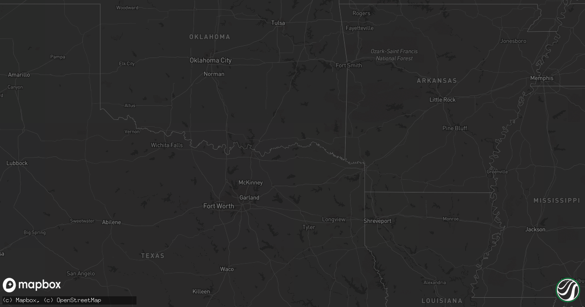
September 30 map
$229
one time, instant access
Download today. No call, no setup
Keep the $229
Bought the map and want the full workflow? Apply the entire $229 to a subscription within 7 days. None of it is wasted.
Every map, not just this one
This buys you this map. Subscription and you get every map we run, in the markets you choose from a few cities to whole states to nationwide. Plus real-time alerts the moment a storm fires.
Contact data
Name, contact info, occupancy, even credit band for addresses in the footprint. You go from where it hit to who to call.
Become the source they trust
Unlimited branding weather history reports on demand. You already have the documented answer ready for the property owner, and you are the one who showed up with it.
Property data and RoofTrace estimates
Pull up any address you have got, its value and the exact code rules for that jurisdiction, straight from One Click Code. Then RoofTrace estimates the squares, pitch, and roof value, priced the way you price.
States Impacted by Hail Map on September 30, 2011
Storm reports
North Carolina
| Date | Description |
|---|---|
| 09/30/20116:45 PM CDT | Roof torn off storage shed. Plywood panel ripped off adjacent small building. Large limb broken out of pecan tree. |
| 09/30/20116:23 PM CDT | 51 knot gust reported at seymour johnson afb |
| 09/30/20114:13 PM CDT | One tree down on creed road near blakely road |
| 09/30/20114:11 PM CDT | One tree down on gillis road just north of mcfarland road |
Nevada
| Date | Description |
|---|---|
| 09/30/20115:00 PM CDT | A mesonet site on the nevada national security site recorded a 63 mph peak gust. |
| 09/29/20118:38 PM CDT | Winnemucca airport asos reported a gust of 55 knots. |
Cities Impacted by Hail Map on September 30, 2011
- Washoe Valley, NV
- Rockingham, NC
- Marion, SC
- Miami, FL
- Goshen, CT
- Litchfield, CT
- West Cornwall, CT
- Patrick Afb, FL
- Cape Canaveral, FL
- Merritt Island, FL
- Machipongo, VA
- Seaford, VA
- Yorktown, VA
- Birdsnest, VA
- Cape Charles, VA
- Shacklefords, VA
- Saluda, VA
- Suffolk, VA
- Reno, NV
- McClellanville, SC
- Pamplico, SC
- Effingham, SC
- Florence, SC
- Coward, SC
- Portsmouth, VA
- Hamlet, NC
- Laurel Hill, NC
- Teachey, NC
- Ivor, VA
- Miami Beach, FL
- Key Biscayne, FL
- Exmore, VA
- Franktown, VA
- Cameron, NC
- Sanford, NC
- Spring Lake, NC
- Selma, NC
- Clayton, NC
- Wallace, NC
- Norfolk, VA
- Bennettsville, SC
- Nesmith, SC
- Hemingway, SC