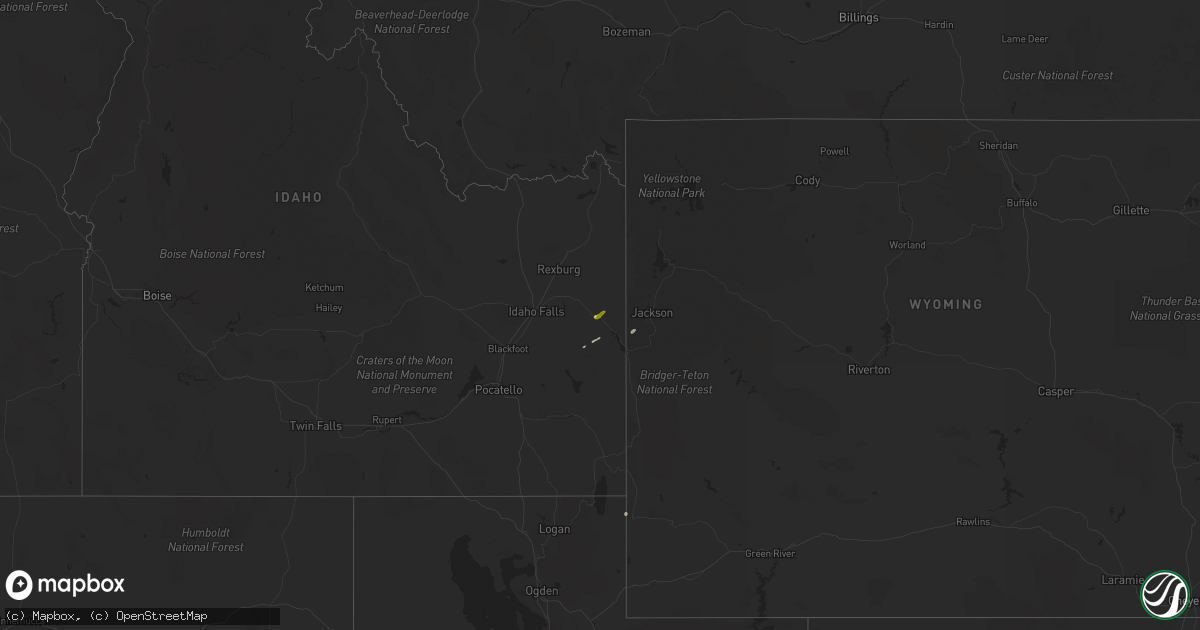
Hail Map on September 29, 2022
Get this storm
September 29 map
$229
one time, instant access
Download today. No call, no setup
Keep the $229
Bought the map and want the full workflow? Apply the entire $229 to a subscription within 7 days. None of it is wasted.
Every map, not just this one
This buys you this map. Subscription and you get every map we run, in the markets you choose from a few cities to whole states to nationwide. Plus real-time alerts the moment a storm fires.
Contact data
Name, contact info, occupancy, even credit band for addresses in the footprint. You go from where it hit to who to call.
Become the source they trust
Unlimited branding weather history reports on demand. You already have the documented answer ready for the property owner, and you are the one who showed up with it.
Property data and RoofTrace estimates
Pull up any address you have got, its value and the exact code rules for that jurisdiction, straight from One Click Code. Then RoofTrace estimates the squares, pitch, and roof value, priced the way you price.
States Impacted by Hail Map on September 29, 2022
Storm reports
Idaho
| Date | Description |
|---|---|
| 09/29/20222:32 PM CDT | Damaged power pole and power lines down resulting in a large power outage in the victor area. Time estimated based on radar. |
| 09/28/20229:48 PM CDT | At 246 PM MDT, a severe thunderstorm was located 16 miles north of Wayan, moving northeast at 30 mph. HAZARD...Quarter size hail. SOURCE...Radar indicated. IMPACT...Damage to vehicles is expected. Locations impacted include... Northern Palisades Reservoir, Irwin and Grays Lake. |
Montana
| Date | Description |
|---|---|
| 09/29/20225:45 PM CDT | Mesonet station mtm90 big sandy sw. (tf |
| 09/29/20225:45 PM CDT | Mesonet station mtm90 big sandy sw. |
| 09/28/20229:42 PM CDT | At 242 PM MDT, a severe thunderstorm was located near Drummond, moving north at 15 mph. HAZARD...60 mph wind gusts and quarter size hail. SOURCE...Radar indicated. IMPACT...Hail damage to vehicles is expected. Expect wind damage to roofs, siding, and trees. Locations impacted include... Drummond, New Chicago and Hall. |
Utah
| Date | Description |
|---|---|
| 09/29/20226:50 PM CDT | State route 65 at big mountain pass |
| 09/29/20223:00 PM CDT | Dugway causeway mesonet site |
| 09/28/202210:30 PM CDT | Vernon hill mesonet site |
California
| Date | Description |
|---|---|
| 09/28/20228:58 PM CDT | At 158 PM PDT, a severe thunderstorm was located over Hwy S22 Between Ranchita and Borrego Springs, or 7 miles southwest of Borrego Springs, moving south at 5 mph. HAZARD...60 mph wind gusts and nickel size hail. SOURCE...Radar indicated. IMPACT...Expect damage to roofs, siding, and trees. Locations impacted include... Borrego Springs, Hwy 78 Between Banner And S2, Hwy 78 Between S2 And Borrego Springs Rd, Julian, Cuyamaca Rancho State Park, Lake Cuyamaca, Ranchita, Hwy S22 Between Ranchita And Borrego Springs, Hwy 79 Between Julian And Lake Cuyamaca and Borrego Palm Canyon. |