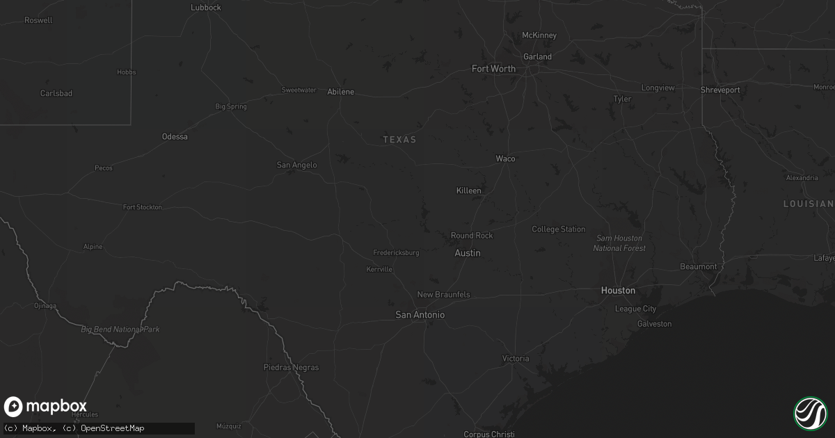
Hail Map on September 28, 2022
Get this storm
September 28 map
$229
one time, instant access
Download today. No call, no setup
Keep the $229
Bought the map and want the full workflow? Apply the entire $229 to a subscription within 7 days. None of it is wasted.
Every map, not just this one
This buys you this map. Subscription and you get every map we run, in the markets you choose from a few cities to whole states to nationwide. Plus real-time alerts the moment a storm fires.
Contact data
Name, contact info, occupancy, even credit band for addresses in the footprint. You go from where it hit to who to call.
Become the source they trust
Unlimited branding weather history reports on demand. You already have the documented answer ready for the property owner, and you are the one who showed up with it.
Property data and RoofTrace estimates
Pull up any address you have got, its value and the exact code rules for that jurisdiction, straight from One Click Code. Then RoofTrace estimates the squares, pitch, and roof value, priced the way you price.
Storm reports
Utah
| Date | Description |
|---|---|
| 09/28/20226:55 PM CDT | Tower grid sensor dpg11 |
| 09/28/202212:50 PM CDT | Grantsville south sensor. |
| 09/28/20223:01 AM CDT | At 800 PM MDT, a severe thunderstorm was located 12 miles northwest of Salt Lake City International Airport, or 15 miles northwest of Salt Lake City, moving northeast at 30 mph. HAZARD...60 mph wind gusts. SOURCE...Mesonet station reported gust up to 65 mph. IMPACT...Expect damage to roofs, siding, and trees. Locations impacted include... Salt Lake City, West Valley City, Ogden, Layton, Bountiful, Farmington, Hill Air Force Base, Roy, Clearfield, Kaysville, Syracuse, Clinton, North Ogden, South Ogden, North Salt Lake, Centerville, Woods Cross, Washington Terrace, Riverdale and Hooper.This includes the following highways... Interstate 15 between mile markers 310 and 346. Interstate 84 between mile markers 82 and 91. Interstate 80 in Utah between mile markers 101 and 117. |
| 09/27/20229:00 PM CDT | A local report indicates 70 MPH wind near 4 NNE LAKE PT |
| 09/27/20228:50 PM CDT | A local report indicates 66 MPH wind near 10 WNW WEST VALLEY CITY |
| 09/27/20228:50 PM CDT | A local report indicates 60 MPH wind near 5 NE LAKE PT |
| 09/27/20228:50 PM CDT | A local report indicates 75 MPH wind near 10 WNW WEST VALLEY CITY |
Florida
| Date | Description |
|---|---|
| 09/28/20223:26 PM CDT | Mesonet station xgrv grove city 110mph gust. |
| 09/28/202212:31 PM CDT | Mesonet station xtrp tarpon pt. 101 mph g. |
| 09/28/202212:21 PM CDT | Mesonet station xtrp tarpon pt. 99mph gust. |