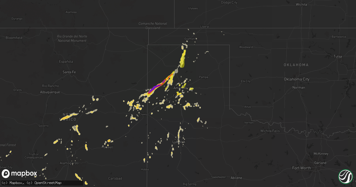
Hail Map on September 24, 2014
Get this storm
September 24 map
$229
one time, instant access
Download today. No call, no setup
Keep the $229
Bought the map and want the full workflow? Apply the entire $229 to a subscription within 7 days. None of it is wasted.
Every map, not just this one
This buys you this map. Subscription and you get every map we run, in the markets you choose from a few cities to whole states to nationwide. Plus real-time alerts the moment a storm fires.
Contact data
Name, contact info, occupancy, even credit band for addresses in the footprint. You go from where it hit to who to call.
Become the source they trust
Unlimited branding weather history reports on demand. You already have the documented answer ready for the property owner, and you are the one who showed up with it.
Property data and RoofTrace estimates
Pull up any address you have got, its value and the exact code rules for that jurisdiction, straight from One Click Code. Then RoofTrace estimates the squares, pitch, and roof value, priced the way you price.
States Impacted by Hail Map on September 24, 2014
Storm reports
New Mexico
| Date | Description |
|---|---|
| 09/24/20146:55 PM CDT | A local report indicates 1.00 inch wind near 19 NE MESA |
| 09/24/20146:45 PM CDT | A local report indicates 1.00 inch wind near FORT SUMNER |
| 09/24/20146:45 PM CDT | A local report indicates 1.75 inch wind near 15 S FORT SUMNER |
| 09/24/20144:05 PM CDT | Broken glass and large tree knocked over due winds. |
| 09/23/20148:15 PM CDT | A local report indicates 1.00 inch wind near VAUGHN |
| 09/23/20147:40 PM CDT | A local report indicates 1.75 inch wind near 10 NNE ROSWELL |
Texas
| Date | Description |
|---|---|
| 09/24/20145:55 PM CDT | A local report indicates 1.00 inch wind near 3 ENE SHALLOWATER |
| 09/24/20143:15 PM CDT | A local report indicates 58 MPH wind near 5 ENE HEREFORD |
| 09/24/20143:05 PM CDT | Texas tech mesonet |
| 09/24/20143:00 PM CDT | Nickel to quarter size hail. Time estimated based on radar. |
| 09/24/20142:50 PM CDT | A local report indicates 60 MPH wind near GLENRIO |
| 09/24/20142:35 PM CDT | A local report indicates 1.00 inch wind near 1 NNW CANYON |
| 09/24/20142:05 PM CDT | A local report indicates 1.00 inch wind near 3 E ADRIAN |
| 09/24/20142:00 PM CDT | Adrian isd reports car windows and windows at the school have been broken by hail up to baseball size. No known injuries at this time. |
| 09/24/20141:44 PM CDT | Very heavy rain also occurring with visibility less than 100 yards. |
| 09/24/20141:40 PM CDT | A local report indicates 1.00 inch wind near 7 ENE AMARILLO |
| 09/24/20141:31 PM CDT | Quarter size hail now covering ground. |
| 09/24/201412:51 PM CDT | Viewer report relayed by kamr. |
| 09/24/201412:49 PM CDT | Relayed by amarillo emergency manager |
| 09/24/201412:47 PM CDT | A local report indicates 1.75 inch wind near BOYS RANCH |
| 09/23/20147:50 PM CDT | Gust measured by west texas mesonet... 41 mph sustained wind speed |
Cities Impacted by Hail Map on September 24, 2014
- Hooker, OK
- Corona, NM
- Vega, TX
- Socorro, NM
- Lubbock, TX
- Amarillo, TX
- San Patricio, NM
- Tinnie, NM
- Hondo, NM
- Mcalister, NM
- Elida, NM
- Farwell, TX
- Hereford, TX
- Happy, TX
- Dimmitt, TX
- Broadview, NM
- Bard, NM
- Channing, TX
- San Jon, NM
- Adrian, TX
- Gruver, TX
- Sunray, TX
- Plains, TX
- Canyon, TX
- Abernathy, TX
- Friona, TX
- Summerfield, TX
- Roswell, NM
- Lindsborg, KS
- Stratford, TX
- Dumas, TX
- Claude, TX
- Clovis, NM
- Yeso, NM
- Wildorado, TX
- Brownfield, TX
- Vaughn, NM
- Carrizozo, NM
- Levelland, TX
- Littlefield, TX
- Panhandle, TX
- Guymon, OK
- Texhoma, OK
- Goodwell, OK
- Santa Rosa, NM
- Whiteface, TX
- Floyd, NM
- Portales, NM
- Melrose, NM
- Mountainair, NM
- Tulia, TX
- Las Cruces, NM
- Groom, TX
- Wayside, TX
- Willard, NM
- Meadow, TX
- Datil, NM
- Idalou, TX
- Lockney, TX
- Hutchinson, KS
- Shallowater, TX
- Spearman, TX
- Quitaque, TX
- Tahoka, TX
- Masterson, TX
- Grady, NM
- Matador, TX
- Morton, TX
- Stinnett, TX
- Flomot, TX
- Buckhorn, NM
- Lovington, NM
- Plainview, TX
- Bent, NM
- Mescalero, NM
- Capitan, NM
- Perryton, TX
- Silverton, TX
- Partridge, KS
- Ropesville, TX
- Seminole, TX
- Slaton, TX
- Hatch, NM