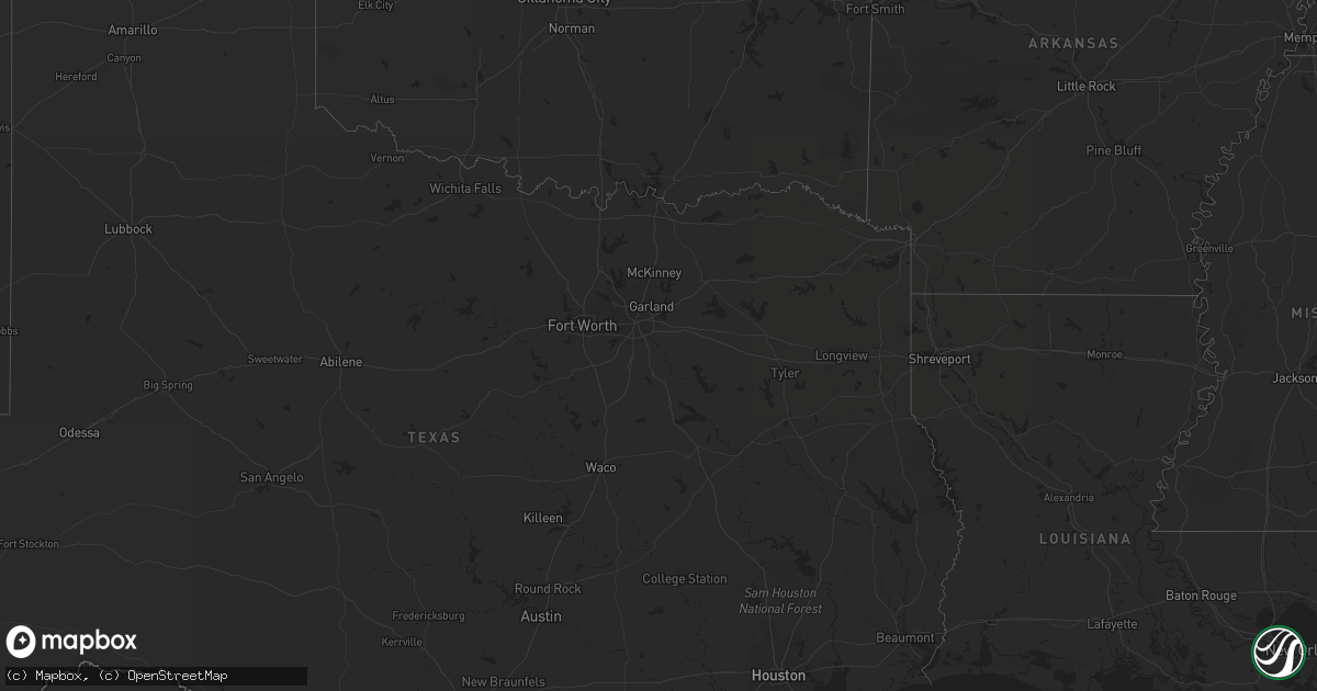
Hail Map on September 24, 2013
Get this storm
September 24 map
$229
one time, instant access
Download today. No call, no setup
Keep the $229
Bought the map and want the full workflow? Apply the entire $229 to a subscription within 7 days. None of it is wasted.
Every map, not just this one
This buys you this map. Subscription and you get every map we run, in the markets you choose from a few cities to whole states to nationwide. Plus real-time alerts the moment a storm fires.
Contact data
Name, contact info, occupancy, even credit band for addresses in the footprint. You go from where it hit to who to call.
Become the source they trust
Unlimited branding weather history reports on demand. You already have the documented answer ready for the property owner, and you are the one who showed up with it.
Property data and RoofTrace estimates
Pull up any address you have got, its value and the exact code rules for that jurisdiction, straight from One Click Code. Then RoofTrace estimates the squares, pitch, and roof value, priced the way you price.
States Impacted by Hail Map on September 24, 2013
Storm reports
Florida
| Date | Description |
|---|---|
| 09/24/20134:15 PM CDT | A trained spotter reported a large oak tree down due to straight line winds. Winds were estimated at 60 mph. The tree caused some minor damage to a small tool shed. |
| 09/23/201311:25 PM CDT | Spotter reports several large oak trees down across the northern and central portions of wakulla county. Time estimated from radar. |
| 09/23/20138:47 PM CDT | Tree blown down on bonifay-gritney rd. |
Mississippi
| Date | Description |
|---|---|
| 09/24/201312:45 PM CDT | Tree down along hwy 35. |
| 09/24/201312:14 PM CDT | A couple trees were down in the national forest off hwy 80 between morton and forest. |
Montana
| Date | Description |
|---|---|
| 09/23/20139:41 PM CDT | A local report indicates 63 MPH wind near LIVINGSTON |
| 09/23/20139:25 PM CDT | A local report indicates 59 MPH wind near 11 E BOZEMAN |
| 09/23/20137:33 PM CDT | Peak wind gust to 52kt... 60mph... Reported by the dillon airport asos. |
Alabama
| Date | Description |
|---|---|
| 09/24/20136:30 PM CDT | The escambia county sheriffs office reported a large tree down at the intersection of ridge road and maycreek road east of brewton. |
| 09/24/20135:05 PM CDT | Numerous trees and power lines down from near toddtown to grove hill...and from highway 43 eastward to whatley. Time estimated between 455 pm and 515 pm cdt based on ra |