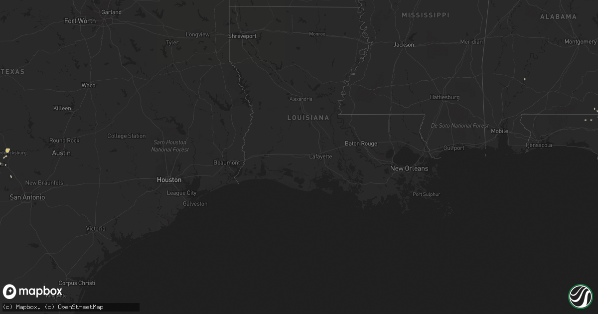
Hail Map on September 21, 2011
Get this storm
September 21 map
$229
one time, instant access
Download today. No call, no setup
Keep the $229
Bought the map and want the full workflow? Apply the entire $229 to a subscription within 7 days. None of it is wasted.
Every map, not just this one
This buys you this map. Subscription and you get every map we run, in the markets you choose from a few cities to whole states to nationwide. Plus real-time alerts the moment a storm fires.
Contact data
Name, contact info, occupancy, even credit band for addresses in the footprint. You go from where it hit to who to call.
Become the source they trust
Unlimited branding weather history reports on demand. You already have the documented answer ready for the property owner, and you are the one who showed up with it.
Property data and RoofTrace estimates
Pull up any address you have got, its value and the exact code rules for that jurisdiction, straight from One Click Code. Then RoofTrace estimates the squares, pitch, and roof value, priced the way you price.
States Impacted by Hail Map on September 21, 2011
Storm reports
Florida
| Date | Description |
|---|---|
| 09/21/20115:00 PM CDT | A large tree was reported down on nw 142 avenue just east of u.s. Highways 27 and 41. |
| 09/21/20113:15 PM CDT | Several trees down just north of cottondale. Two homes and one barn damaged by falling trees. |
Alabama
| Date | Description |
|---|---|
| 09/21/20113:15 PM CDT | Numerous trees down just north of cottondale. Two homes and one barn damaged by falling trees. |
New Mexico
| Date | Description |
|---|---|
| 09/21/20119:20 AM CDT | Holloman afb reported tstm wind gust 50kt at 0726 gmt 126 am mdt. |
Cities Impacted by Hail Map on September 21, 2011
- Fredericksburg, TX
- Midland City, AL
- Ozark, AL
- Brooker, FL
- Lake Butler, FL
- Alachua, FL
- Trenton, FL
- Christoval, TX
- Leakey, TX
- Lake City, FL
- Robert Lee, TX
- Nahunta, GA
- Patterson, GA
- Hoboken, GA
- Blackshear, GA
- Neeses, SC
- Windsor, SC
- Williston, SC
- Wagener, SC
- Salley, SC
- Aiken, SC
- Boerne, TX
- Hunt, TX
- Medina, TX
- Kerrville, TX
- Rocksprings, TX
- Fort McKavett, TX
- Eldorado, TX
- Menard, TX
- Hazlehurst, GA
- High Springs, FL
- Holly Springs, NC
- Lumber City, GA
- Dexter, GA
- Chester, GA
- Sandersville, GA
- O'Brien, FL
- Fort White, FL
- Garden City, TX
- San Angelo, TX
- Dudley, GA
- Cadwell, GA
- Center Point, TX
- Nicholls, GA
- Alma, GA
- Waycross, GA
- Cottondale, FL
- Marianna, FL
- Norton, TX
- Bronte, TX
- Sanderson, FL
- Jeffersonville, GA
- Cameron, SC
- Elloree, SC
- Mountain Home, TX
- Elgin, SC
- New Hill, NC
- Ballinger, TX
- Durham, NC
- Sonora, TX
- Junction, TX
- Greenwood, FL
- Winters, TX
- Edgefield, SC
- Bronson, FL
- Wellborn, FL
- Lugoff, SC
- North, SC
- Milan, GA
- Ponce De Leon, FL
- Westville, FL
- Defuniak Springs, FL
- Orangeburg, SC
- Comfort, TX
- Dry Branch, GA
- Gordon, GA
- Rembert, SC
- Coleman, TX
- Branford, FL
- Franklin, AL
- Camden, SC
- Ridgeway, SC
- Utopia, TX
- Saint Matthews, SC
- Summerton, SC
- Santee, SC
- Archer, FL
- Abbeville, AL
- Monticello, FL
- Lamont, FL
- Keystone Heights, FL
- Green Cove Springs, FL
- Vancourt, TX
- Soperton, GA
- Tarrytown, GA
- Malone, FL
- Cottonwood, AL
- Gordon, AL
- Geneva, AL
- Samson, AL
- Swansea, SC
- Pelion, SC
- Springfield, SC
- Camp Wood, TX
- Vanderpool, TX
- Hartford, AL
- Daleville, AL
- Quincy, FL
- Chiefland, FL
- Riceboro, GA
- Uvalde, TX