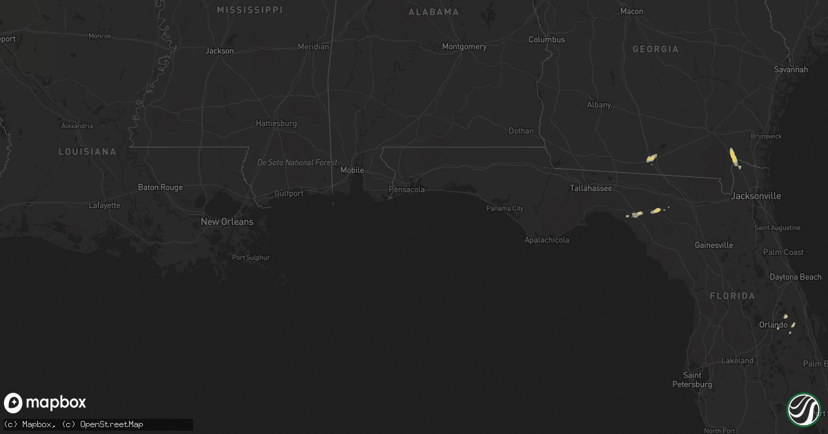
Hail Map on September 20, 2012
Get this storm
September 20 map
$229
one time, instant access
Download today. No call, no setup
Keep the $229
Bought the map and want the full workflow? Apply the entire $229 to a subscription within 7 days. None of it is wasted.
Every map, not just this one
This buys you this map. Subscription and you get every map we run, in the markets you choose from a few cities to whole states to nationwide. Plus real-time alerts the moment a storm fires.
Contact data
Name, contact info, occupancy, even credit band for addresses in the footprint. You go from where it hit to who to call.
Become the source they trust
Unlimited branding weather history reports on demand. You already have the documented answer ready for the property owner, and you are the one who showed up with it.
Property data and RoofTrace estimates
Pull up any address you have got, its value and the exact code rules for that jurisdiction, straight from One Click Code. Then RoofTrace estimates the squares, pitch, and roof value, priced the way you price.
Storm reports
Georgia
| Date | Description |
|---|---|
| 09/20/20123:29 PM CDT | Trees down and car accidents. |
| 09/20/20123:29 PM CDT | Trees and power lines down. |
| 09/20/20122:56 PM CDT | Trees down and car accidents. |
| 09/20/20122:50 PM CDT | Trees down on houses. |
| 09/20/20122:25 PM CDT | Trees and powerlines down south of vsu campus. |
| 09/20/20121:08 PM CDT | The sheriffs office reported trees and powerlines down in folkston. The time given was based on radar. |
| 09/20/201212:50 PM CDT | Trees down on houses. |
Florida
| Date | Description |
|---|---|
| 09/20/20122:15 PM CDT | Public reports a large tree downed near 180th street in luraville. Time of damage based on radar data. |
| 09/20/201212:15 PM CDT | The 911 call center received a report of telephone lines blown down at canal road and rosco blvd. The time given was based on radar. |
Missouri
| Date | Description |
|---|---|
| 09/20/20121:57 AM CDT | Quarter sized hail reported at i-44/u.s. 65 intersection in northeastern springfield. |
| 09/20/20121:51 AM CDT | A local report indicates 1.00 inch wind near 3 WNW SPRINGFIELD |
| 09/20/20121:47 AM CDT | A local report indicates 1.00 inch wind near 3 NE SPRINGFIELD |
Cities Impacted by Hail Map on September 20, 2012
- Jasper, MO
- Liberal, MO
- Oronogo, MO
- Valdosta, GA
- Mayo, FL
- Live Oak, FL
- Ava, MO
- Perry, FL
- West Plains, MO
- Springfield, MO
- Folkston, GA
- Hilliard, FL
- Strafford, MO
- Rogersville, MO
- Marionville, MO
- Billings, MO
- Mount Vernon, MO
- Carthage, MO
- Vanzant, MO
- Koshkonong, MO
- Thayer, MO
- Fort Myers, FL
- Pottersville, MO
- Oldfield, MO
- Sparta, MO
- Ravenden Springs, AR
- Pocahontas, AR
- South Greenfield, MO
- Greenfield, MO
- Couch, MO
- Mammoth Spring, AR
- Ravenden, AR
- Zanoni, MO
- Orlando, FL
- Verona, MO
- Monett, MO
- Everton, MO
- Ash Grove, MO
- Oviedo, FL
- Bois D Arc, MO
- Fordland, MO
- Willard, MO
- Christmas, FL
- Granby, MO
- Diamond, MO
- Miller, MO
- Seymour, MO
- Dora, MO
- Joplin, MO
- Naples, FL
- Lockwood, MO
- Brandsville, MO
- Halltown, MO
- Bruner, MO
- Galena, KS
- Carl Junction, MO
- Columbus, KS
- Ozark, MO
- Mindenmines, MO
- Asbury, MO
- Golden City, MO
- Lamar, MO
- Brighton, MO
- Pierce City, MO
- Brookline, MO
- Sarcoxie, MO
- Reeds, MO
- Pomona, MO
- Willow Springs, MO
- Morrisville, MO
- Wasola, MO
- Crane, MO
- Aurora, MO