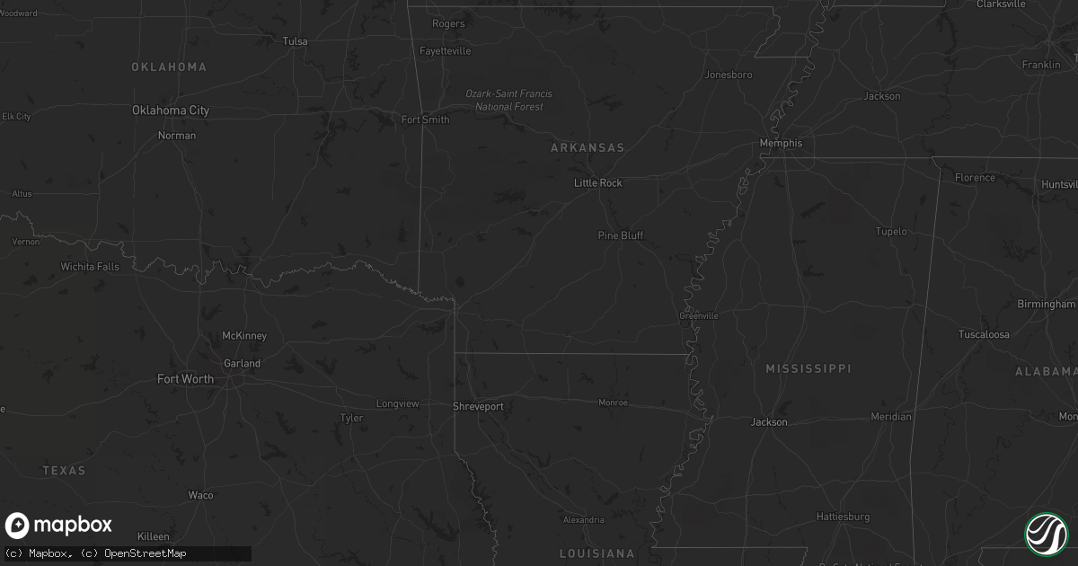
Hail Map on September 18, 2021
Get this storm
September 18 map
$229
one time, instant access
Download today. No call, no setup
Keep the $229
Bought the map and want the full workflow? Apply the entire $229 to a subscription within 7 days. None of it is wasted.
Every map, not just this one
This buys you this map. Subscription and you get every map we run, in the markets you choose from a few cities to whole states to nationwide. Plus real-time alerts the moment a storm fires.
Contact data
Name, contact info, occupancy, even credit band for addresses in the footprint. You go from where it hit to who to call.
Become the source they trust
Unlimited branding weather history reports on demand. You already have the documented answer ready for the property owner, and you are the one who showed up with it.
Property data and RoofTrace estimates
Pull up any address you have got, its value and the exact code rules for that jurisdiction, straight from One Click Code. Then RoofTrace estimates the squares, pitch, and roof value, priced the way you price.
Storm reports
New York
| Date | Description |
|---|---|
| 09/18/20213:42 PM CDT | Tree down on partridge drum rd |
| 09/17/202111:29 PM CDT | At 429 PM EDT, a severe thunderstorm was located over Round Lake, or near Mechanicville, moving southeast at 25 mph. HAZARD...60 mph wind gusts and quarter size hail. SOURCE...Radar indicated. IMPACT...Hail damage to vehicles is expected. Expect wind damage to roofs, siding, and trees. This severe thunderstorm will be near... Mechanicville around 445 PM EDT. Waterford around 455 PM EDT. Troy around 500 PM EDT. Center Brunswick around 510 PM EDT.Other locations impacted by this severe thunderstorm includeSchaghticoke Hill, Johnsonville, West Milton, Willow Glen, Coons,Garrison Manor, Wayville, Schaghticoke, Pleasantdale and Tamarack. |
Arizona
| Date | Description |
|---|---|
| 09/17/202110:23 PM CDT | At 323 PM MST, a severe thunderstorm was located over Sun Lakes, moving northeast at 30 mph. HAZARD...60 mph wind gusts. SOURCE...Radar indicated. IMPACT...Expect damage to roofs, siding, and trees. Locations impacted include... Phoenix, Mesa, Chandler, Gilbert, Tempe, East Mesa, Sun Lakes, Mesa Riverview Mall, Tempe Marketplace, Papago Park, Arizona Mills Mall, Gilbert City Hall, Falcon Field Airport, Downtown Mesa and Tumbleweed Park.This includes the following highways...AZ Interstate 10 between mile markers 151 and 170.US Highway 60 between mile markers 173 and 189.AZ Route 87 between mile markers 162 and 178. |
| 09/17/202110:00 PM CDT | At 300 PM MST, a severe thunderstorm was located near Maricopa, or 11 miles southwest of Sun Lakes, moving northeast at 40 mph. HAZARD...60 mph wind gusts. SOURCE...Radar indicated. IMPACT...Expect damage to roofs, siding, and trees. Locations impacted include... Chandler, Gilbert, Sun Lakes, Maricopa, Queen Creek, Chandler Heights, Gilbert City Hall, Tumbleweed Park, Chandler City Hall, San Tan Village Mall, Seville, Bapchule, Estrella Sailport, Olberg and Phoenix Mesa Gateway Airport.This includes the following highways...AZ Interstate 10 between mile markers 164 and 181.AZ Route 87 between mile markers 149 and 166.AZ Route 202 between mile markers 39 and 50. |
Colorado
| Date | Description |
|---|---|
| 09/18/20216:53 PM CDT | Asos station kril garfield county rgnl ap. |
| 09/18/20215:41 PM CDT | Asos station kgjt grand junction rgnl ap. |
| 09/17/20217:47 PM CDT | Asos station kmtj montrose rgnl airport. |
Idaho
| Date | Description |
|---|---|
| 09/18/20214:20 PM CDT | Pocatello regional airport. Convective outflow winds. Gust corrected from 58 mph to 59 mph. |
| 09/18/20214:20 PM CDT | Pocatello regional airport. Convective outflow winds. |
| 09/18/20214:14 PM CDT | Power outages affecting almost 1...000 customers in pocatello. Nearby weather stations reported convective outflow winds of 45 to 58 mph around this time. |
Texas
| Date | Description |
|---|---|
| 09/17/20219:34 PM CDT | At 233 PM CDT, a severe thunderstorm was located near Brackettville, moving south at 30 mph. HAZARD...60 mph wind gusts. SOURCE...Radar indicated. IMPACT...Expect damage to roofs, siding, and trees. Locations impacted include... Brackettville, Spofford, Laguna, Blewett, Darling, Washer, Dabney, Cline, Anacacho, Standart, Alamo Village, Laughlin AFB Aux Field, Kickapoo Cavern State Park, Turkey Mountain and Fort Clark Springs. |
Utah
| Date | Description |
|---|---|
| 09/18/20215:48 PM CDT | Asos station kcny 16 nw moab. |
| 09/18/20214:35 PM CDT | Ku69 awos |