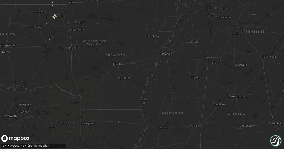
Hail Map on September 17, 2012
Get this storm
September 17 map
$229
one time, instant access
Download today. No call, no setup
Keep the $229
Bought the map and want the full workflow? Apply the entire $229 to a subscription within 7 days. None of it is wasted.
Every map, not just this one
This buys you this map. Subscription and you get every map we run, in the markets you choose from a few cities to whole states to nationwide. Plus real-time alerts the moment a storm fires.
Contact data
Name, contact info, occupancy, even credit band for addresses in the footprint. You go from where it hit to who to call.
Become the source they trust
Unlimited branding weather history reports on demand. You already have the documented answer ready for the property owner, and you are the one who showed up with it.
Property data and RoofTrace estimates
Pull up any address you have got, its value and the exact code rules for that jurisdiction, straight from One Click Code. Then RoofTrace estimates the squares, pitch, and roof value, priced the way you price.
Storm reports
Florida
| Date | Description |
|---|---|
| 09/17/20126:40 AM CDT | Leon county eoc reported a tree down on county road 12 between meridian road and thomasville road. |
| 09/17/20126:31 AM CDT | Leon county eoc reported a large tree down across fred george road blocking all 4 lanes between old bainbridge road and north monroe. |
Texas
| Date | Description |
|---|---|
| 09/17/20125:06 AM CDT | Nws storm survey found widespread damage to tree limbs across the eastern half of rotan. A few trees were blown over and several large storage tanks were also knocked o |
| 09/17/20125:04 AM CDT | Additional information from the storm survey...widespread tree limb damage across the eastern half of rotan. A few trees blown over as well. Winds esimated at 60 to 70 |
| 09/17/20125:04 AM CDT | Thunderstorm winds blew a tree onto a power line in rotan. |
| 09/17/20121:00 AM CDT | A local report indicates 2.00 inch wind near 8 SW QUAIL |
Michigan
| Date | Description |
|---|---|
| 09/17/20124:20 PM CDT | A softwood tree... 40 feet tall with a 1 foot diameter... Reported down by the public relayed through the press. |
| 09/17/20124:12 PM CDT | One tree came down at lakeshore dr near the ludington pumped storage plant. Another tree came down in riverton township. |
| 09/17/201212:52 PM CDT | Public reported golf ball sized hail on m 68 between rogers city and millersburg. Time estimated from radar. |
Kansas
| Date | Description |
|---|---|
| 09/17/20124:48 PM CDT | Damage to several bradford pears tree branches estimated 6 inches in diameter...winds estimated in excess of 45 mph. |
| 09/17/20123:20 PM CDT | Corrected for time...pencil thin landspout reported 3 se dover...intermittent ground contact less than two minutes. |
Alabama
| Date | Description |
|---|---|
| 09/17/20124:12 PM CDT | Possible tornado. Deputy reports damage on canal street on the west side of samson. Numerous trees down. |
Tennessee
| Date | Description |
|---|---|
| 09/17/20124:30 PM CDT | Several trees and power lines down at bethany road and nashville highway west of mcminnville. |
| 09/17/20124:28 PM CDT | Tree down on cole ridge road north of manchester |
| 09/17/20124:25 PM CDT | Tree down on 16th model road |
| 09/17/20124:15 PM CDT | Public reported telephone poles blown down in the cortner community north of normandy. Possible tornado. |
| 09/17/20124:02 PM CDT | An ef0 tornado touched down at a residence along hwy 41a approximately 1 2 mile east of the hwy 41a and normandy road intersection. Dozens of trees were snapped and upr |
| 09/17/20124:00 PM CDT | Several trees blown down on a property on highway 41a south about 6 miles east of shelbyville. Shingles were also blown off house. |
Wisconsin
| Date | Description |
|---|---|
| 09/17/20123:42 PM CDT | 1 foot diameter pine tree uprooted and laying across road near 76th st and howard ave. Time of event estimated based on radar. Report received at 440 pm. |
Cities Impacted by Hail Map on September 17, 2012
- Greendale, WI
- Big Bend, WI
- Brookfield, WI
- Muskego, WI
- Palmyra, WI
- Hales Corners, WI
- Eagle, WI
- Mukwonago, WI
- Milwaukee, WI
- New Berlin, WI
- Waukesha, WI
- Quail, TX
- Snyder, TX
- Fluvanna, TX
- Adair, OK
- Big Cabin, OK
- Rotan, TX
- Girard, TX
- Roby, TX
- Jayton, TX
- Delavan, WI
- Elkhorn, WI
- Darien, WI
- Welch, OK
- Burlington, WI
- Lake Geneva, WI
- Durand, IL
- Rockton, IL
- Spur, TX
- Hawks, MI
- Rogers City, MI
- Onaway, MI
- Millersburg, MI
- Merkel, TX
- Trent, TX
- Childress, TX
- Wellington, TX
- Memphis, TX
- Tell, TX
- Sturtevant, WI
- Union Grove, WI
- Kenosha, WI
- Beloit, WI
- Rock City, IL
- Davis, IL
- Dickens, TX
- Crosbyton, TX
- Hillman, MI
- Sweetwater, TX
- McCaulley, TX
- Sylvester, TX
- Dakota, IL
- Orangeville, IL
- Brodhead, WI
- Mesick, MI
- Paducah, TX
- Groom, TX
- Bartlett, KS
- Edna, KS
- Robert Lee, TX
- Bronte, TX
- Cheboygan, MI
- Springfield, WI
- Independence, KS
- Atlanta, MI
- Kansasville, WI
- Salem, WI
- Clinton, WI
- Juda, WI
- Hermleigh, TX
- Avalon, WI
- Clarendon, TX
- Cee Vee, TX
- Vinita, OK
- Posen, MI
- Muskogee, OK
- Oktaha, OK
- Elk City, KS
- Claremore, OK
- Benedict, KS
- Yates Center, KS
- Neodesha, KS
- Mclean, TX
- Beaver Island, MI
- Big Spring, TX
- Pampa, TX
- Ralls, TX