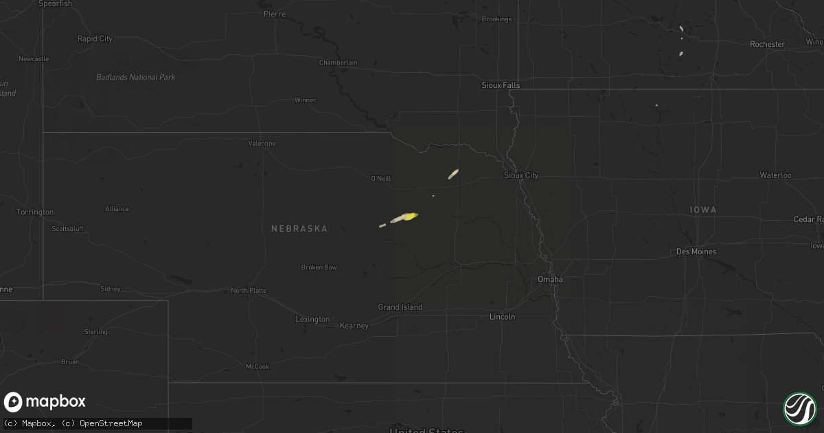
Hail Map on September 14, 2015
Get this storm
September 14 map
$229
one time, instant access
Download today. No call, no setup
Keep the $229
Bought the map and want the full workflow? Apply the entire $229 to a subscription within 7 days. None of it is wasted.
Every map, not just this one
This buys you this map. Subscription and you get every map we run, in the markets you choose from a few cities to whole states to nationwide. Plus real-time alerts the moment a storm fires.
Contact data
Name, contact info, occupancy, even credit band for addresses in the footprint. You go from where it hit to who to call.
Become the source they trust
Unlimited branding weather history reports on demand. You already have the documented answer ready for the property owner, and you are the one who showed up with it.
Property data and RoofTrace estimates
Pull up any address you have got, its value and the exact code rules for that jurisdiction, straight from One Click Code. Then RoofTrace estimates the squares, pitch, and roof value, priced the way you price.
Storm reports
California
| Date | Description |
|---|---|
| 09/14/20156:49 PM CDT | Five rail cars were blown over as a cargo train traveled near bannock california. Nws doppler radar did detect a thunderstorm over the designated area at the time the r |
Utah
| Date | Description |
|---|---|
| 09/13/20159:10 PM CDT | Wind gust measured at canyonlands airport. |
Arizona
| Date | Description |
|---|---|
| 09/13/20159:40 PM CDT | 12 inch diameter trees down along tatum between greenway and cactus |
| 09/13/20159:38 PM CDT | Gust to 59 mph at scottsdale asos |
| 09/13/20159:30 PM CDT | Large palm tree...two feet in diameter...fell onto parked car. No injuries reported. |
| 09/13/20159:25 PM CDT | Seven power poles down near 16th st. And indian school rd. Associated power lines fell onto a vehicle. No injuries. |
| 09/13/20159:23 PM CDT | Awning blown off |
| 09/13/20159:10 PM CDT | Roof damage at terminal 2 sky harbor airport near gate 11. Debris on concourse between gate 11 to gate 17. |