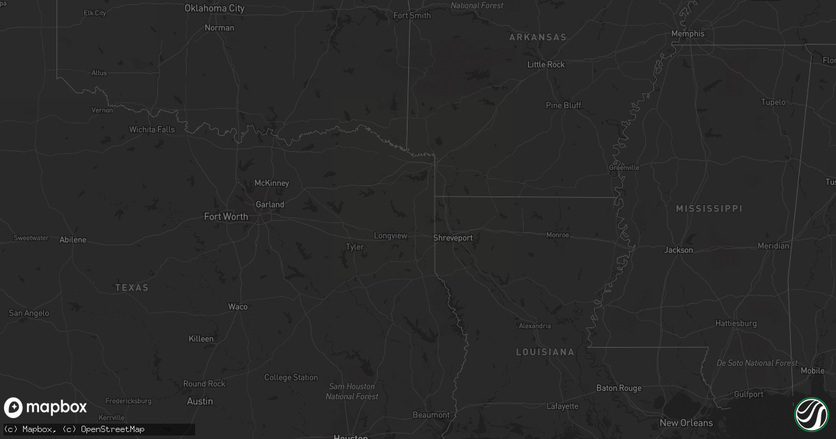
Hail Map on September 14, 2013
Get this storm
September 14 map
$229
one time, instant access
Download today. No call, no setup
Keep the $229
Bought the map and want the full workflow? Apply the entire $229 to a subscription within 7 days. None of it is wasted.
Every map, not just this one
This buys you this map. Subscription and you get every map we run, in the markets you choose from a few cities to whole states to nationwide. Plus real-time alerts the moment a storm fires.
Contact data
Name, contact info, occupancy, even credit band for addresses in the footprint. You go from where it hit to who to call.
Become the source they trust
Unlimited branding weather history reports on demand. You already have the documented answer ready for the property owner, and you are the one who showed up with it.
Property data and RoofTrace estimates
Pull up any address you have got, its value and the exact code rules for that jurisdiction, straight from One Click Code. Then RoofTrace estimates the squares, pitch, and roof value, priced the way you price.
States Impacted by Hail Map on September 14, 2013
Storm reports
Utah
| Date | Description |
|---|---|
| 09/13/20138:14 PM CDT | Hail large enough to damage police car. |
Kansas
| Date | Description |
|---|---|
| 09/14/20136:15 PM CDT | Measured 0.51 inches of rainfall as well |
Florida
| Date | Description |
|---|---|
| 09/14/20135:25 PM CDT | Highlands county 911 relayed a report of hail between the size of dimes and golf balls from fire fighters in sebring around 625 pm edt. |
Cities Impacted by Hail Map on September 14, 2013
- Broadwater, NE
- Indiantown, FL
- Lisco, NE
- Ashby, NE
- Akron, CO
- Sidney, NE
- Saint Francis, KS
- Weldona, CO
- Sterling, CO
- Atwood, CO
- Port Saint Lucie, FL
- Parker, CO
- Aurora, CO
- Englewood, CO
- San Rafael, NM
- Lagrange, WY
- Dalton, NE
- Gurley, NE
- Sebring, FL
- Oshkosh, NE
- Fowler, KS
- Ensign, KS
- Vero Beach, FL
- Hayes Center, NE
- Hawk Springs, WY
- Washington, UT
- Ault, CO
- Eaton, CO
- Hurricane, UT
- Maywood, NE
- Imperial, NE
- Zolfo Springs, FL
- Otis, CO
- Magdalena, NM
- Fort Pierce, FL
- Carr, CO
- Oviedo, FL
- Arcadia, FL
- Bluewater, NM
- Bedrock, CO
- Naturita, CO
- Lodgepole, NE
- Lewis, CO
- Briggsdale, CO
- Heber, AZ
- Lakeside, NE
- Wauneta, NE
- Weskan, KS