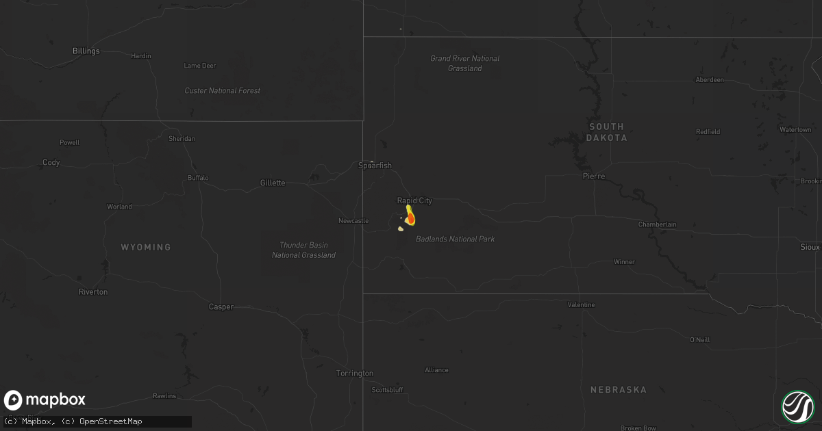
Hail Map on September 13, 2023
Get this storm
September 13 map
$229
one time, instant access
Download today. No call, no setup
Keep the $229
Bought the map and want the full workflow? Apply the entire $229 to a subscription within 7 days. None of it is wasted.
Every map, not just this one
This buys you this map. Subscription and you get every map we run, in the markets you choose from a few cities to whole states to nationwide. Plus real-time alerts the moment a storm fires.
Contact data
Name, contact info, occupancy, even credit band for addresses in the footprint. You go from where it hit to who to call.
Become the source they trust
Unlimited branding weather history reports on demand. You already have the documented answer ready for the property owner, and you are the one who showed up with it.
Property data and RoofTrace estimates
Pull up any address you have got, its value and the exact code rules for that jurisdiction, straight from One Click Code. Then RoofTrace estimates the squares, pitch, and roof value, priced the way you price.
States Impacted by Hail Map on September 13, 2023
Storm reports
Massachusetts
| Date | Description |
|---|---|
| 09/13/20234:30 PM CDT | 6 inch wide tree split down the middle/knocked over in north attleborough. |
Rhode Island
| Date | Description |
|---|---|
| 09/13/20233:25 PM CDT | Tree and wires downed on bungy road in glocester ri. Time estimated from radar. |
| 09/13/20233:20 PM CDT | Trees and wires downed on winsor road. Time estimated from radar. |
| 09/13/20233:08 PM CDT | Trees and wires down on shippee schoolhouse road. Time estimated from radar. |
Wyoming
| Date | Description |
|---|---|
| 09/13/20231:53 PM CDT | Asos station klnd lander airport. |
Texas
| Date | Description |
|---|---|
| 09/13/20234:45 AM CDT | Report of microburst wind damage in the cedar grove neighborhood of cedar park. Fences and power lines down... Shingles ripped off. Photo also sent of an approximate 6 |
South Dakota
| Date | Description |
|---|---|
| 09/13/20236:29 PM CDT | Multiple reports of hail near golf ball size |
| 09/13/20235:30 PM CDT | Mostly smaller... A few to quarter size |
Georgia
| Date | Description |
|---|---|
| 09/13/20235:33 PM CDT | The effingham county 911 call center reported multiple trees down near the intersection of mustang drive and georgia highway 30. |
| 09/13/20235:20 PM CDT | The effingham county 911 call center reported trees down on power lines near the intersection of blue jay road and oaklawn drive. |
Arizona
| Date | Description |
|---|---|
| 09/13/20236:00 PM CDT | Hildale fire dispatch reported quarter size hail lasting about 10 minutes. Windshields were broken... Vegetation was shredded... And hail accumulated up to 3 inches dee |
| 09/12/20237:43 PM CDT | Hail... Very heavy rain... And local flooding in area. Quarter sized hail reported. |
North Carolina
| Date | Description |
|---|---|
| 09/13/20233:20 PM CDT | Tree down blocking 2100 block of e. Highway 10. |
| 09/13/20233:10 PM CDT | Tree down on a car in 900 block of conover blvd west. |
| 09/13/20232:15 PM CDT | Tree down in the vicinity of hugh chatham hospital. Time estimated from radar. |
| 09/13/20232:10 PM CDT | Couple trees downed onto a power line on west main street near edgewood drive. Time estimated from radar. |
Connecticut
| Date | Description |
|---|---|
| 09/13/20233:03 PM CDT | Several trees downed on ledge road. Time estimated from radar. |
| 09/13/20233:03 PM CDT | Several trees downed on ledge road... Bailey hill road. Time estimated from radar. |
| 09/13/20232:59 PM CDT | Tree downed near intersection of westcott and cranberry bog road. Time estimated from radar. |
| 09/13/20232:53 PM CDT | Trees and wires downed on wauregan road. Time estimated from radar. |
| 09/13/202310:42 AM CDT | Trees and wires downed on drown rd near pomfret. Time estimated by radar. |
| 09/13/202310:27 AM CDT | Tree and wires downed and a utility pole was snapped on palmer rd in chaplin. Relayed by amateur radio. |
| 09/13/20238:18 AM CDT | Downed power lines in new britain on intersection of hartford rd and stanley st. Time estimated from radar. Relayed by amateur radio. |
Cities Impacted by Hail Map on September 13, 2023
- Miami, AZ
- Scranton, NC
- Globe, AZ
- Scottsdale, AZ
- Phoenix, AZ
- Pima, AZ
- Danielson, CT
- Dayville, CT
- Foster, RI
- North Scituate, RI
- Lincoln, RI
- Cumberland, RI
- Flagstaff, AZ
- Rapid City, SD
- Keystone, SD
- Hermosa, SD
- Saint David, AZ
- Maricopa, AZ
- McNeal, AZ
- Toomsboro, GA
- Dudley, GA
- Montrose, GA
- Dublin, GA
- Corinne, UT
- Snowville, UT
- Show Low, AZ
- Overgaard, AZ
- Heber, AZ
- Barnwell, SC
- Irwinton, GA
- Tombstone, AZ
- Elfrida, AZ
- Snowflake, AZ
- Naples, FL
- Theodore, AL
- Douglas, AZ
- Walsenburg, CO
- Vail, AZ
- Port Arthur, TX
- Vidor, TX
- Benson, AZ
- Beaumont, TX
- Troy, AL
- Fellsmere, FL
- Prescott, AZ
- Orange, TX
- Phenix City, AL
- Union Springs, AL
- Florence, AZ
- Kearny, AZ
- Cottonwood, AZ
- Camp Verde, AZ
- Custer, SD
- Hildale, UT
- Colorado City, AZ
- Spearfish, SD
- Eloy, AZ
- Alamo, NV
- Fort Stockton, TX
- Marathon, TX
- Gloverville, SC
- Warrenville, SC
- Banks, AL
- Garita, NM
- Conchas Dam, NM
- Kermit, TX
- Clayton, NM
- Hurricane, UT