Hail Map on September 13, 2017
Get this storm
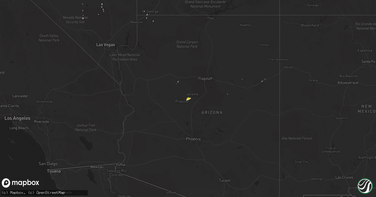
September 13 map
$229
one time, instant access
Download today. No call, no setup
Keep the $229
Bought the map and want the full workflow? Apply the entire $229 to a subscription within 7 days. None of it is wasted.
Every map, not just this one
This buys you this map. Subscription and you get every map we run, in the markets you choose from a few cities to whole states to nationwide. Plus real-time alerts the moment a storm fires.
Contact data
Name, contact info, occupancy, even credit band for addresses in the footprint. You go from where it hit to who to call.
Become the source they trust
Unlimited branding weather history reports on demand. You already have the documented answer ready for the property owner, and you are the one who showed up with it.
Property data and RoofTrace estimates
Pull up any address you have got, its value and the exact code rules for that jurisdiction, straight from One Click Code. Then RoofTrace estimates the squares, pitch, and roof value, priced the way you price.
States Impacted by Hail Map on September 13, 2017
Storm reports
Kansas
| Date | Description |
|---|---|
| 09/13/20173:30 PM CDT | Delayed report. Power line was blown down. Three 6 inch diameter tree limbs and several smaller limbs were broken off. At the baseball field... The roof of one of the d |
| 09/13/20173:30 PM CDT | Estimated winds of 50 to 60 mph. Also had hail up to nickel size. |
Nevada
| Date | Description |
|---|---|
| 09/12/201710:32 PM CDT | A local report indicates 71 MPH wind near 2 NNW CENTENNIAL HILLS |
| 09/12/201710:18 PM CDT | A local report indicates 63 MPH wind near 1 SE LONE MOUNTAIN |