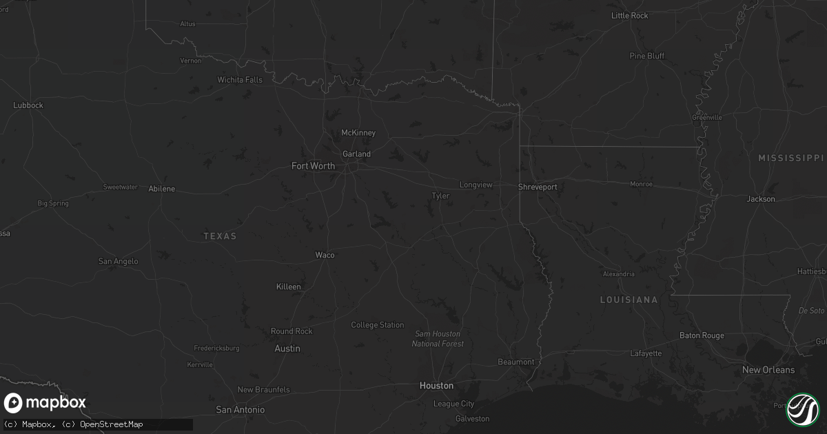
Hail Map on September 12, 2015
Get this storm
September 12 map
$229
one time, instant access
Download today. No call, no setup
Keep the $229
Bought the map and want the full workflow? Apply the entire $229 to a subscription within 7 days. None of it is wasted.
Every map, not just this one
This buys you this map. Subscription and you get every map we run, in the markets you choose from a few cities to whole states to nationwide. Plus real-time alerts the moment a storm fires.
Contact data
Name, contact info, occupancy, even credit band for addresses in the footprint. You go from where it hit to who to call.
Become the source they trust
Unlimited branding weather history reports on demand. You already have the documented answer ready for the property owner, and you are the one who showed up with it.
Property data and RoofTrace estimates
Pull up any address you have got, its value and the exact code rules for that jurisdiction, straight from One Click Code. Then RoofTrace estimates the squares, pitch, and roof value, priced the way you price.
States Impacted by Hail Map on September 12, 2015
Storm reports
Virginia
| Date | Description |
|---|---|
| 09/12/20159:00 AM CDT | Few trees down...one pole barn blown over...and other damaged....clifton rd and rt. 14. Confirmed as non-tornadic by nws survey. |
North Carolina
| Date | Description |
|---|---|
| 09/12/201512:38 PM CDT | Power line down on swindell forest road in swanquarter. |
Pennsylvania
| Date | Description |
|---|---|
| 09/12/20151:33 PM CDT | Trees down |
Florida
| Date | Description |
|---|---|
| 09/12/20152:15 PM CDT | Dispatch reports tree down on power line near lena street. Time estimated by radar. |
| 09/12/20151:30 PM CDT | Large trees down near i 75 and nw 39th ave |
| 09/12/201512:45 PM CDT | The local media received reports from the sheriffs office of a possible tornado touch down near county road 225 and northwest 180th street. There were multiple trees an |
| 09/12/201512:30 PM CDT | Preliminary survey indicates ef0 tornado touchdown 4 miles northwest of starke. Maximum winds...85 mph. Time...between 130 and 145 pm. Pathlength...2.6 miles. Maximum w |
| 09/12/201512:30 PM CDT | Preliminary survey indicates ef0 tornado touchdown 4 miles south southwest of sampson. Maximum winds...85 mph. Time...between 130 and 145 pm. Path length...about 1.4 mi |
| 09/12/201512:10 PM CDT | Numerous trees across the area near 98th st...1000 ne 28th ave... 719 nw 19th lane and 6711 nw 41st pl. |
| 09/12/201512:10 PM CDT | Large trees down near i 75 and nw 39th ave |
| 09/12/201511:50 AM CDT | Large tree down near 2222nd st and 165th ave time estimated by radar |
| 09/12/201510:07 AM CDT | Tree down |
| 09/12/20156:53 AM CDT | Tree down causing fence damage in the shadow ridge subdivision. Winds estimated at 40 mph based off of nearby home weather stations. |