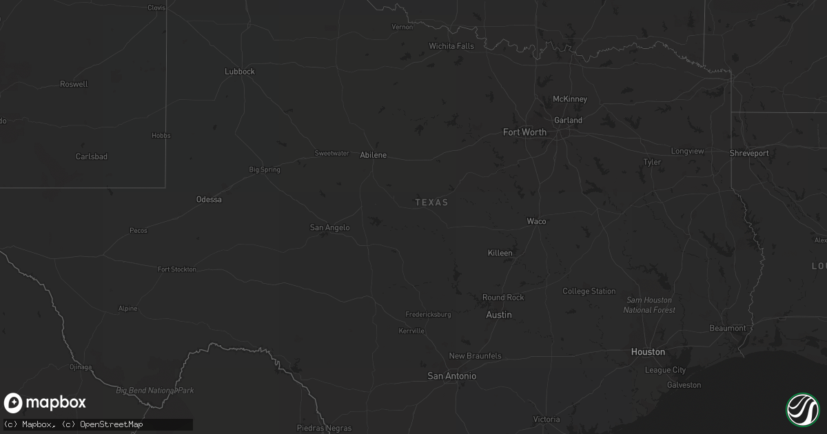
Hail Map on September 10, 2022
Get this storm
September 10 map
$229
one time, instant access
Download today. No call, no setup
Keep the $229
Bought the map and want the full workflow? Apply the entire $229 to a subscription within 7 days. None of it is wasted.
Every map, not just this one
This buys you this map. Subscription and you get every map we run, in the markets you choose from a few cities to whole states to nationwide. Plus real-time alerts the moment a storm fires.
Contact data
Name, contact info, occupancy, even credit band for addresses in the footprint. You go from where it hit to who to call.
Become the source they trust
Unlimited branding weather history reports on demand. You already have the documented answer ready for the property owner, and you are the one who showed up with it.
Property data and RoofTrace estimates
Pull up any address you have got, its value and the exact code rules for that jurisdiction, straight from One Click Code. Then RoofTrace estimates the squares, pitch, and roof value, priced the way you price.
Storm reports
Florida
| Date | Description |
|---|---|
| 09/10/20222:02 PM CDT | Marion county reports a road closure of us-441 near summerfield due to powerlines down and blocking the roadway. No injuries or fires were reported. |
| 09/10/20226:27 AM CDT | At 1127 AM EDT, a severe thunderstorm was located over South Bradenton, or near Bradenton, moving north at 30 mph. HAZARD...60 mph wind gusts. SOURCE...Radar indicated. IMPACT...Expect damage to roofs, siding, and trees. Locations impacted include... Bradenton, Palmetto, South Bradenton, Bayshore Gardens, Ellenton, Parrish, Memphis, West Bradenton, Samoset and Sarasota Bradenton Airport. |
| 09/09/20229:27 PM CDT | At 227 PM EDT, severe thunderstorms were located along a line extending from 11 miles southwest of Santos to near The Villages, moving north at 35 mph. HAZARD...60 mph wind gusts and penny size hail. SOURCE...Radar indicated. IMPACT...Expect damage to roofs, siding, and trees. Locations impacted include... Ocala, Fort McCoy, Citra, Lynne, Weirsdale, Sparr, Anthony, Ocklawaha, Moss Bluff and Silver Springs Shores. |
Arizona
| Date | Description |
|---|---|
| 09/10/20226:32 AM CDT | At 1131 AM MST, a severe thunderstorm was located over Bonito Campground At Sunset Crater, or 13 miles north of Flagstaff, moving northwest at 5 mph. HAZARD...60 mph wind gusts and quarter size hail. SOURCE...Radar indicated. IMPACT...Hail damage to vehicles is expected. Expect wind damage to roofs, siding, and trees. Locations impacted include... Bonito Campground At Sunset Crater, Sunset Crater Volcano National Monument, Timberline, Wupatki Trails, Fernwood, Sunset Crater Visitors Center and Lockett Meadow Campground.This includes U.S. Highway 89 between mile markers 425 and 442. |
| 09/10/202212:52 AM CDT | At 552 PM MST, a severe thunderstorm was located near Hilltop, or 23 miles northeast of Globe, moving northeast at 5 mph. HAZARD...Quarter size hail. SOURCE...Radar indicated. IMPACT...Damage to vehicles is expected. Locations impacted include... Sawmill and Hilltop. |
Nevada
| Date | Description |
|---|---|
| 09/10/20221:14 AM CDT | At 614 PM PDT, a severe thunderstorm was located 27 miles west of Duckwater, moving west at 15 mph. HAZARD...60 mph wind gusts, penny size hail, and torrential rainfall. SOURCE...Radar indicated. IMPACT...Expect damage to roofs, siding, and trees. Torrential rainfall may result in localized flooding. This severe thunderstorm will remain over mainly rural areas of north central Nye County. |
| 09/10/202212:26 AM CDT | At 524 PM PDT, a severe thunderstorm was located 11 miles west of Duckwater, moving north at 10 mph. HAZARD...60 mph wind gusts and quarter size hail. SOURCE...Radar indicated. IMPACT...Hail damage to vehicles is expected. Expect wind damage to roofs, siding, and trees. Torrential downfall can create areas of pooling and flooding. Locations impacted include... Duckwater. |
| 09/09/202211:02 PM CDT | At 401 PM PDT, a severe thunderstorm was located 17 miles east of Mina, or 27 miles south of Gabbs, moving west at 35 mph. HAZARD...60 mph wind gusts and quarter size hail. SOURCE...Radar indicated. IMPACT...Hail damage to vehicles is expected. Expect wind damage to roofs, siding, fencing and trees. Locations impacted include... Luning, Mina, Junction U.S 95 And NV 360 (Tonopah Junction) and Mina Airport. |
| 09/09/202210:47 PM CDT | At 347 PM PDT, a severe thunderstorm was located 28 miles west of Manhattan, moving southwest at 15 mph. HAZARD...60 mph wind gusts and quarter size hail. SOURCE...Radar indicated. IMPACT...Hail damage to vehicles is expected. Expect wind damage to roofs and trees. This severe thunderstorm will remain over mainly rural areas of northwestern Nye and north central Esmeralda Counties. |
| 09/09/202210:45 PM CDT | At 345 PM PDT, a severe thunderstorm was located 23 miles west of Manhattan, moving southwest at 15 mph. HAZARD...70 mph wind gusts and quarter size hail. SOURCE...Radar indicated. IMPACT...Hail damage to vehicles is expected. Expect considerable tree damage. Wind damage is also likely to mobile homes, roofs, and outbuildings. This severe thunderstorm will remain over mainly rural areas of west central Nye County. |
| 09/09/202210:20 PM CDT | At 318 PM PDT, a severe thunderstorm was located near Coaldale, moving west at 10 mph. HAZARD...60 mph wind gusts and quarter size hail. SOURCE...Radar indicated. IMPACT...Hail damage to vehicles is expected. Expect wind damage to roofs and trees. Locations impacted include... Coaldale, Interstate 6 and Interstate 95. |
| 09/09/20228:38 PM CDT | At 138 PM PDT, a severe thunderstorm was located 12 miles northeast of Goldfield, or 13 miles west of Tonopah Test Range, moving north at 25 mph. HAZARD...60 mph wind gusts and quarter size hail. SOURCE...Radar indicated. IMPACT...Hail damage to vehicles is expected. Expect wind damage to roofs and trees. Locations impacted include... Goldfield. |