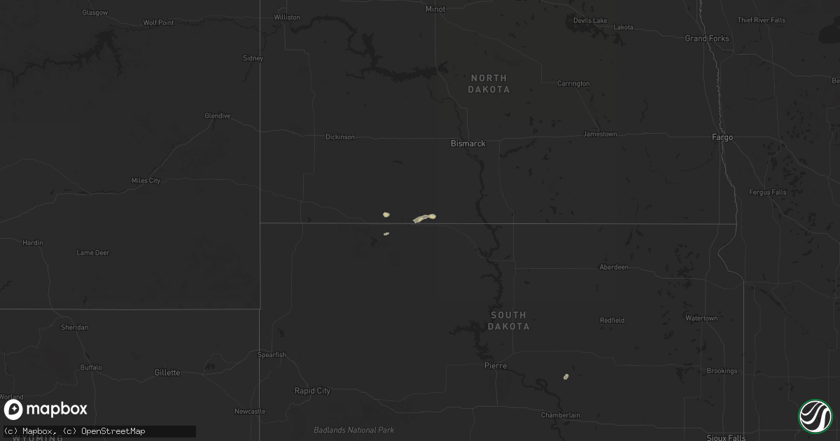
Hail Map on September 9, 2024
Get this storm
September 9 map
$229
one time, instant access
Download today. No call, no setup
Keep the $229
Bought the map and want the full workflow? Apply the entire $229 to a subscription within 7 days. None of it is wasted.
Every map, not just this one
This buys you this map. Subscription and you get every map we run, in the markets you choose from a few cities to whole states to nationwide. Plus real-time alerts the moment a storm fires.
Contact data
Name, contact info, occupancy, even credit band for addresses in the footprint. You go from where it hit to who to call.
Become the source they trust
Unlimited branding weather history reports on demand. You already have the documented answer ready for the property owner, and you are the one who showed up with it.
Property data and RoofTrace estimates
Pull up any address you have got, its value and the exact code rules for that jurisdiction, straight from One Click Code. Then RoofTrace estimates the squares, pitch, and roof value, priced the way you price.
States Impacted by Hail Map on September 9, 2024
Storm reports
Wyoming
| Date | Description |
|---|---|
| 09/09/20244:19 PM CDT | Asos station krks rock springs airport. |
New York
| Date | Description |
|---|---|
| 09/09/20243:36 PM CDT | Multiple trees and power lines down near whitehaven rd and fourth st. |
| 09/09/20243:33 PM CDT | Nws storm survey team confirms ef-0 tornadic waterspout came on land near west river road and 3rd avenue in grand island. Max winds were 85 mph... Width was 75 yards... |
| 09/09/20243:01 PM CDT | Large tree branch down on beach ave. |
| 09/09/20243:01 PM CDT | Branches and tree debris in the streets in ontario beach. Time estimated from radar. Delayed report. |
| 09/08/20247:34 PM CDT | Large tree branch down at intersection of alleghany rd and akron rd. |
| 09/08/20247:34 PM CDT | Corrects previous tstm wnd dmg report from 3 n pembroke. Large tree branch down at intersection of alleghany rd and akron rd. Trees also down on akron rd... Little fall |
| 09/08/20247:33 PM CDT | Nws storm survey confirms brief... Weak ef-0 tornado in the hamlet of indian falls from near ny route 77 to little falls rd. About a half dozen trees were damaged or bl |
California
| Date | Description |
|---|---|
| 09/09/20243:00 PM CDT | Survey from ellis avenue to ethanac road in perris and romoland showed extensive flooding... Mud and standing water. Many trees had large broken branches and some trees |