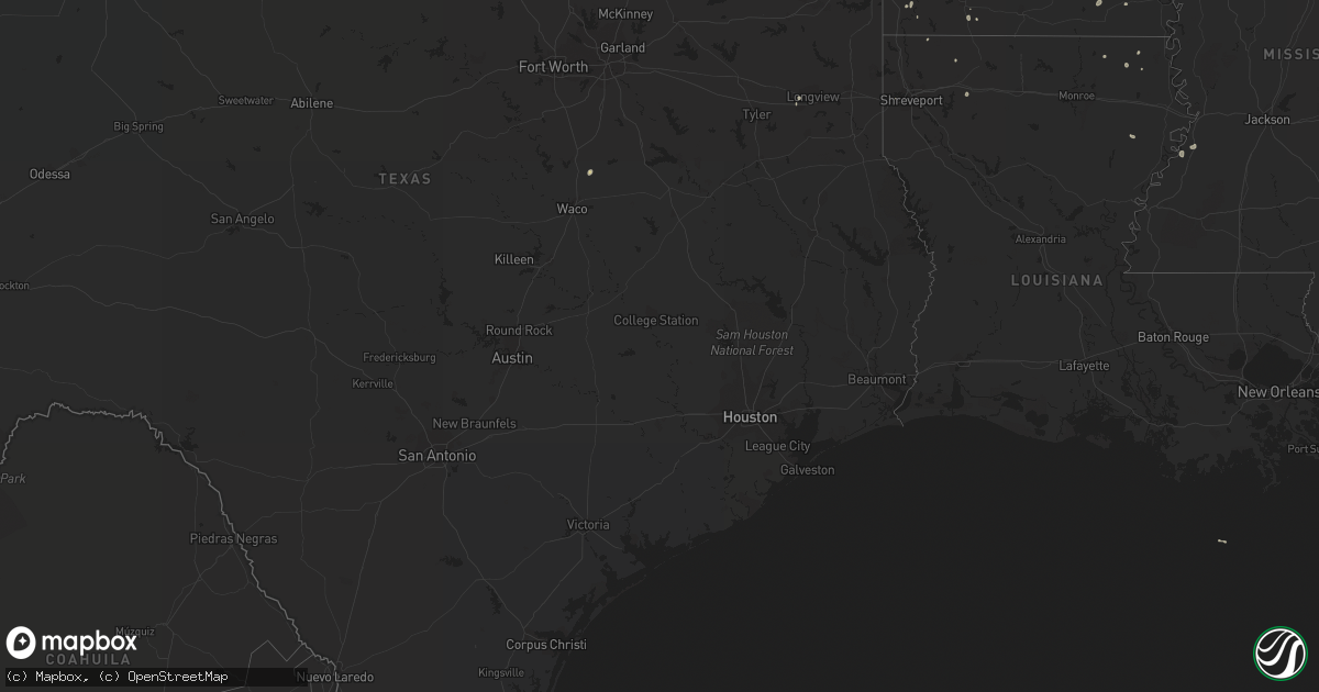
Hail Map on September 6, 2022
Get this storm
September 6 map
$229
one time, instant access
Download today. No call, no setup
Keep the $229
Bought the map and want the full workflow? Apply the entire $229 to a subscription within 7 days. None of it is wasted.
Every map, not just this one
This buys you this map. Subscription and you get every map we run, in the markets you choose from a few cities to whole states to nationwide. Plus real-time alerts the moment a storm fires.
Contact data
Name, contact info, occupancy, even credit band for addresses in the footprint. You go from where it hit to who to call.
Become the source they trust
Unlimited branding weather history reports on demand. You already have the documented answer ready for the property owner, and you are the one who showed up with it.
Property data and RoofTrace estimates
Pull up any address you have got, its value and the exact code rules for that jurisdiction, straight from One Click Code. Then RoofTrace estimates the squares, pitch, and roof value, priced the way you price.
States Impacted by Hail Map on September 6, 2022
Storm reports
Nevada
| Date | Description |
|---|---|
| 09/06/20226:00 PM CDT | Trained spotter reports wind gust upwards of 60 mph that blew over a 40 foot travel trailer and pushed it 2 feet sideways. |
Arizona
| Date | Description |
|---|---|
| 09/06/20221:28 AM CDT | At 628 PM MST, a severe thunderstorm was located near Coalmine Canyon Chapter House, or 15 miles southeast of Tuba City, moving west at 20 mph. HAZARD...60 mph wind gusts and quarter size hail. SOURCE...Radar indicated. IMPACT...Hail damage to vehicles is expected. Expect wind damage to roofs, siding, and trees. Locations impacted include... Coalmine Canyon Chapter House and Hopi. This includes State Route 264 between mile markers 329 and 344. |
| 09/05/20228:41 PM CDT | At 140 PM MST, a severe thunderstorm was located 9 miles north of Williams, moving west at 15 mph. HAZARD...60 mph wind gusts and quarter size hail. SOURCE...Radar indicated. IMPACT...Hail damage to vehicles is expected. Expect wind damage to roofs, siding, and trees. This severe thunderstorm will remain over mainly rural areas of Coconino County.This includes State Route 64 between mile markers 188 and 202. |
Louisiana
| Date | Description |
|---|---|
| 09/05/20229:43 PM CDT | Trees snapped and power lines down in plain dealing. |
| 09/05/20229:30 PM CDT | Trees down... Tree uprooted and landed on vehicle... Power lines down at 157 and antrim cutoff road. |
Arkansas
| Date | Description |
|---|---|
| 09/05/20229:40 PM CDT | At 240 PM CDT, a severe thunderstorm was located near Cane Creek, or 7 miles northeast of Sheridan, moving south at 5 mph. HAZARD...60 mph wind gusts and quarter size hail. SOURCE...Radar indicated. IMPACT...Hail damage to vehicles is expected. Expect wind damage to roofs, siding, and trees. Locations impacted include... Sheridan... Redfield... Cane Creek... Ico... Center Grove... Jefferson... Clear Lake... Slabtown... Kearney... Prague... F.B. Baugh Recreation Area... Hardin... |
Alabama
| Date | Description |
|---|---|
| 09/06/20226:13 PM CDT | Trees down on flat top rd and honeysuckle rd in west jefferson. |
| 09/06/20223:09 PM CDT | A tree was knocked down at 6th street at gnat pond road. Time estimated by radar and nearby wind gust at kmsl. |
| 09/06/20221:44 PM CDT | A tree was knocked down at 6427 buddy durham road. Time estimated by radar. |
Ohio
| Date | Description |
|---|---|
| 09/06/20229:51 AM CDT | Several trees reported down on frazier road including one on a residence. Time estimated using radar data. |
Cities Impacted by Hail Map on September 6, 2022
- Harrell, AR
- Hampton, AR
- Humphrey, AR
- Oak Grove, LA
- De Witt, AR
- Batesville, MS
- Adamsville, TN
- Holly Springs, MS
- Hialeah, FL
- Miami, FL
- Manchester, TN
- Hamburg, AR
- Mer Rouge, LA
- Bastrop, LA
- Savannah, TN
- Drew, MS
- Tutwiler, MS
- Parchman, MS
- Sumner, MS
- Charleston, MS
- Winnsboro, LA
- Fountain Hill, AR
- Port Gibson, MS
- Oxford, MS
- Shiloh, TN
- Michie, TN
- Bethel Springs, TN
- Taylor, MS
- Philipp, MS
- Pontotoc, MS
- Muscle Shoals, AL
- Tuscumbia, AL
- Leighton, AL
- Bell Buckle, TN
- Shelbyville, TN
- Pioneer, LA
- Addison, AL
- Stuttgart, AR
- Ulm, AR
- Counce, TN
- Lambert, MS
- Hermitage, AR
- Dubberly, LA
- Penelope, TX
- Enid, MS
- Courtland, MS
- Water Valley, MS
- Fulton, MS
- Tremont, MS
- Garland City, AR
- Stanton, TN
- Pope, MS
- Merigold, MS
- Broken Bow, OK
- Sheridan, AR
- Emerson, AR
- Kilgore, TX
- Marks, MS
- Selmer, TN
- Plain Dealing, LA
- Beechgrove, TN
- Longview, TX
- Sheffield, AL
- West Point, MS
- Monticello, AR
- Minden, LA
- Clermont, FL
- Groveland, FL
- Memphis, TN
- Potts Camp, MS
- Shreveport, LA
- Hot Springs Village, AR
- Cascilla, MS
- Wilmar, AR