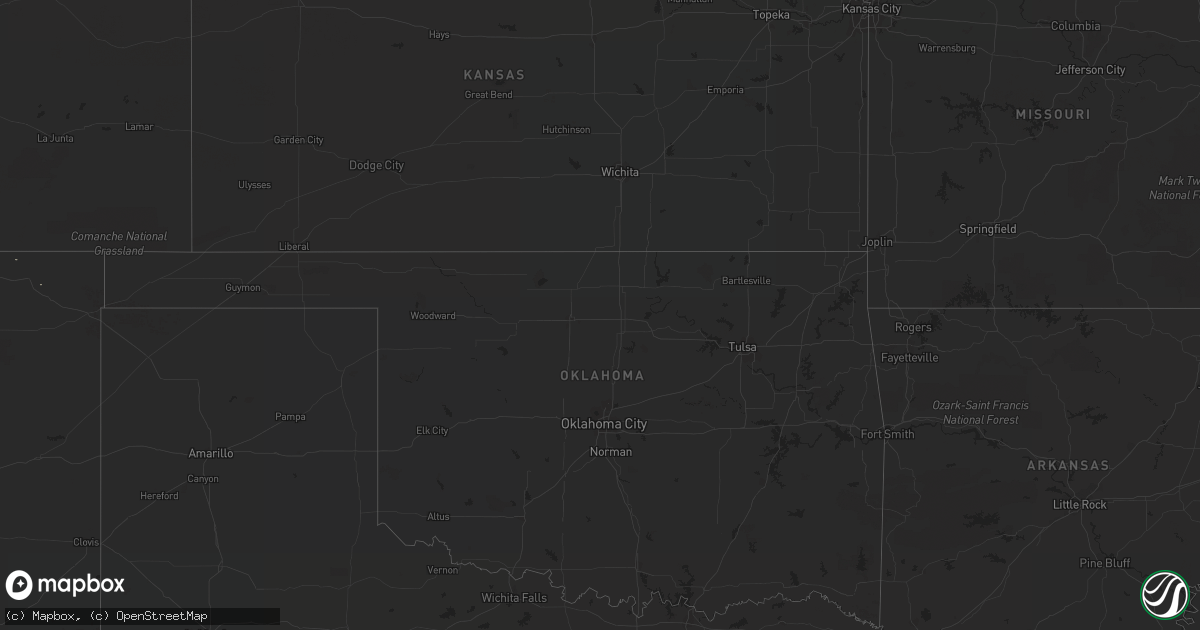
Hail Map on September 6, 2017
Get this storm
September 6 map
$229
one time, instant access
Download today. No call, no setup
Keep the $229
Bought the map and want the full workflow? Apply the entire $229 to a subscription within 7 days. None of it is wasted.
Every map, not just this one
This buys you this map. Subscription and you get every map we run, in the markets you choose from a few cities to whole states to nationwide. Plus real-time alerts the moment a storm fires.
Contact data
Name, contact info, occupancy, even credit band for addresses in the footprint. You go from where it hit to who to call.
Become the source they trust
Unlimited branding weather history reports on demand. You already have the documented answer ready for the property owner, and you are the one who showed up with it.
Property data and RoofTrace estimates
Pull up any address you have got, its value and the exact code rules for that jurisdiction, straight from One Click Code. Then RoofTrace estimates the squares, pitch, and roof value, priced the way you price.
States Impacted by Hail Map on September 6, 2017
Storm reports
Nevada
| Date | Description |
|---|---|
| 09/06/20174:45 PM CDT | Spotter called to report thunderstorm wind gust knocked down power lines in baker. Power was out through the night. Time estimated based off radar. |
Rhode Island
| Date | Description |
|---|---|
| 09/06/20179:30 AM CDT | Large tree and wires down are down blocking major potter road |
| 09/06/20179:30 AM CDT | Tree down on house on tidewater driver |
| 09/06/20179:08 AM CDT | Wires down on main street |
Massachusetts
| Date | Description |
|---|---|
| 09/06/201710:34 AM CDT | Wires down on summer street |
| 09/06/201710:34 AM CDT | Tree down on car between howard and western street |
| 09/06/201710:34 AM CDT | Wires down on oakland street |
| 09/06/201710:24 AM CDT | Tree down in road near stop and shop |
| 09/06/201710:20 AM CDT | Tree down on weston avenue at union street |
| 09/06/201710:10 AM CDT | Tree down on plymouth street |
| 09/06/201710:00 AM CDT | Tree down on car on tuttle street |
| 09/06/201710:00 AM CDT | Power lines down on oneill road |
| 09/06/20179:55 AM CDT | Wires down at pembroke ave at dalton street |
| 09/06/20179:42 AM CDT | Wires down on warren ave near hollister road |
New York
| Date | Description |
|---|---|
| 09/06/20178:30 AM CDT | Tree down on old main road |
| 09/06/20178:30 AM CDT | Wires down on shelter island. |
South Carolina
| Date | Description |
|---|---|
| 09/06/20173:40 PM CDT | Highway patrol reported trees down on sc 527 and us 76. Time estimated based on radar. |
| 09/06/201712:59 PM CDT | Reported a power line down due to trees on it along chewing road. |
| 09/06/201712:46 PM CDT | Highway patrol reported trees down on i-95 at mile markers 105 and 106 northbound. Time estimated based on radar. |
Connecticut
| Date | Description |
|---|---|
| 09/06/20179:01 AM CDT | Numerous trees and power lines down across town and debris on roads with road closures |
| 09/06/20178:51 AM CDT | *** 1 fatal... 1 inj *** uprooted tree down on a car on pequot avenue. |
| 09/06/20178:51 AM CDT | Multiple reports of trees down. |
Cities Impacted by Hail Map on September 6, 2017
- Cassel, CA
- Hat Creek, CA
- Timmonsville, SC
- Lynchburg, SC
- Emporia, VA
- Skippers, VA
- Greenville, CA
- Wellton, AZ
- Showell, MD
- Bishopville, MD
- Berlin, MD
- Blythe, CA
- Arroyo Seco, NM
- Mayesville, SC
- Lamar, SC
- Gaston, NC
- Garysburg, NC
- Macdoel, CA
- Lumberton, NC
- Fairmont, NC
- Rowland, NC
- Santa Fe, NM
- Newark, MD
- Selbyville, DE
- Littleton, NC
- Henrico, NC
- Valentines, VA
- Lawrenceville, VA
- Frankford, DE
- Ocean City, MD