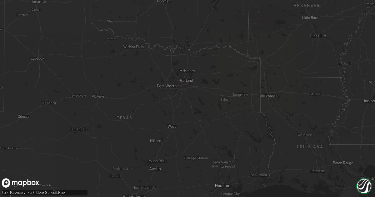
Hail Map on September 6, 2011
Get this storm
September 6 map
$229
one time, instant access
Download today. No call, no setup
Keep the $229
Bought the map and want the full workflow? Apply the entire $229 to a subscription within 7 days. None of it is wasted.
Every map, not just this one
This buys you this map. Subscription and you get every map we run, in the markets you choose from a few cities to whole states to nationwide. Plus real-time alerts the moment a storm fires.
Contact data
Name, contact info, occupancy, even credit band for addresses in the footprint. You go from where it hit to who to call.
Become the source they trust
Unlimited branding weather history reports on demand. You already have the documented answer ready for the property owner, and you are the one who showed up with it.
Property data and RoofTrace estimates
Pull up any address you have got, its value and the exact code rules for that jurisdiction, straight from One Click Code. Then RoofTrace estimates the squares, pitch, and roof value, priced the way you price.
Storm reports
Florida
| Date | Description |
|---|---|
| 09/06/20113:26 PM CDT | Mesonet station at deerfield beach fire station recorded a wind gust of 58 mph at 426 pm. Relayed from local media. |
| 09/06/20117:40 AM CDT | Gulfport police department reported a large tree down and blocking roadway. |
| 09/06/20117:40 AM CDT | Pinellas emergency management relayed a report of numerous power wires down due to snapped branches. 1000 resisdents without power. |
| 09/06/20117:38 AM CDT | Media relayed report of several large tree limbs snapped and downed near 80th st and walter fuller park. |
| 09/06/201112:00 AM CDT | A two story condo had a partially torn roof. Parts of the roof fell on an exterior patio of an adjacent hotel. State emergency manager on scene described the structure |
Arizona
| Date | Description |
|---|---|
| 09/06/20113:30 PM CDT | Forest service reported wind damaged juniper trees with needles missing along a three quarter of a mile stretch along sr 277 1 mile west of fr 332. |
North Carolina
| Date | Description |
|---|---|
| 09/06/20116:41 PM CDT | Sheriffs office reports multiple trees down and several buildings damaged along west great marsh church road due to a possible tornado. Time estimated based off radar. |
| 09/06/20112:24 PM CDT | Tree down on a power line |
| 09/06/20111:32 PM CDT | Several tall pine trees snapped in homeowners yard |
| 09/06/20111:00 PM CDT | Tree down on dirgie mine road. |
| 09/06/201112:55 PM CDT | Half of a roof blown off of a house |
| 09/06/201112:15 PM CDT | Power line down near the intersection of cooper rd and dixon rd |
| 09/06/201112:15 PM CDT | Possible tornado spotted that pushed vehicle part of the way off the road |
| 09/06/201112:15 PM CDT | Tree down |
| 09/06/20118:57 AM CDT | Tree down on power line |
South Carolina
| Date | Description |
|---|---|
| 09/06/201111:24 AM CDT | Tree down near intersection of judge road and haymount road. Time estimated based off radar. |