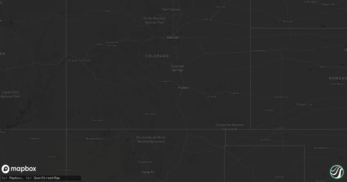
Hail Map on September 1, 2023
Get this storm
September 1 map
$229
one time, instant access
Download today. No call, no setup
Keep the $229
Bought the map and want the full workflow? Apply the entire $229 to a subscription within 7 days. None of it is wasted.
Every map, not just this one
This buys you this map. Subscription and you get every map we run, in the markets you choose from a few cities to whole states to nationwide. Plus real-time alerts the moment a storm fires.
Contact data
Name, contact info, occupancy, even credit band for addresses in the footprint. You go from where it hit to who to call.
Become the source they trust
Unlimited branding weather history reports on demand. You already have the documented answer ready for the property owner, and you are the one who showed up with it.
Property data and RoofTrace estimates
Pull up any address you have got, its value and the exact code rules for that jurisdiction, straight from One Click Code. Then RoofTrace estimates the squares, pitch, and roof value, priced the way you price.
States Impacted by Hail Map on September 1, 2023
Storm reports
Nevada
| Date | Description |
|---|---|
| 09/01/20236:28 PM CDT | Mesonet station spknv sr-227 sp crk roundabout mm11.5 station elevation: 5452 ft. |
| 09/01/20235:12 PM CDT | Measured wind gust of 62 mph. Data courtesy of earthnetworks. |
| 09/01/20234:45 PM CDT | Large tree down in mountains edge near gomer and el capitan. |
| 09/01/20234:25 PM CDT | A thunderstorm produced very strong winds that caused a tree to fall on a deck. Approximate diameter of the tree trunk is 18 inches. The house was not damaged. Wind gus |
| 09/01/20233:57 PM CDT | A thunderstorm produced very strong winds that caused a tree to fall on a deck. Approximate diameter of the tree trunk is 18 inches. The house was not damaged. Wind gus |
| 09/01/20233:57 PM CDT | Mesonet station wlsnv 2.3 e wells |
| 08/31/20238:21 PM CDT | Mesonet station dw6485 elko station elevation: 5229 ft. |
California
| Date | Description |
|---|---|
| 09/01/20234:19 PM CDT | Semi truck rollover blocking both lanes of highway 86. |
| 09/01/20234:12 PM CDT | Several power poles knocked over and nearly on the ground and in the road. |
| 09/01/20233:51 PM CDT | Semi truck flipped and on its side. |
| 09/01/20233:25 PM CDT | The kbys awos reported a peak wind gust of 83 mph due to a nearby thunderstorm. |
| 08/31/20237:09 PM CDT | Union pacific sensor in moore measured a thunderstorm related wind gust of 59 mph. |
Arizona
| Date | Description |
|---|---|
| 09/01/20233:16 PM CDT | Mesonet station yp048 yuma proving ground station 48. |
| 09/01/20231:49 PM CDT | Yuma proving ground station 4 measured a 62 mph wind gust. |
Idaho
| Date | Description |
|---|---|
| 09/01/20236:39 PM CDT | Mesonet station tr257 sawtooth portable no. 1. |