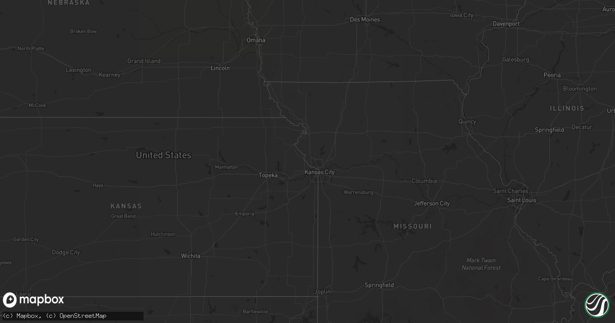
Hail Map on September 1, 2011
Get this storm
September 1 map
$229
one time, instant access
Download today. No call, no setup
Keep the $229
Bought the map and want the full workflow? Apply the entire $229 to a subscription within 7 days. None of it is wasted.
Every map, not just this one
This buys you this map. Subscription and you get every map we run, in the markets you choose from a few cities to whole states to nationwide. Plus real-time alerts the moment a storm fires.
Contact data
Name, contact info, occupancy, even credit band for addresses in the footprint. You go from where it hit to who to call.
Become the source they trust
Unlimited branding weather history reports on demand. You already have the documented answer ready for the property owner, and you are the one who showed up with it.
Property data and RoofTrace estimates
Pull up any address you have got, its value and the exact code rules for that jurisdiction, straight from One Click Code. Then RoofTrace estimates the squares, pitch, and roof value, priced the way you price.
States Impacted by Hail Map on September 1, 2011
Storm reports
Minnesota
| Date | Description |
|---|---|
| 09/01/20116:35 AM CDT | Large branches down in town and one tree down over county road 1. |
South Dakota
| Date | Description |
|---|---|
| 08/31/20119:11 PM CDT | A local report indicates 1.00 inch wind near 3 SE DOWNTOWN RAPID CIT |
| 08/31/20119:10 PM CDT | A local report indicates 1.00 inch wind near DOWNTOWN RAPID CITY |
North Carolina
| Date | Description |
|---|---|
| 09/01/20116:30 PM CDT | Trees and/or powerlines down along mineral springs mtn rd |
| 09/01/20115:15 PM CDT | The yadkin county sheriffs office reported several trees blown down in jonesville. One tree fell on top of an automobile. |
| 09/01/20115:10 PM CDT | The surry county sheriffs office reported about a dozen trees blown down across the community of elkin. Power was also out across portions of the town. |
| 09/01/20115:08 PM CDT | Power line down on pinnacle hotel road |
| 09/01/20114:55 PM CDT | The wilkes county sheriffs office reported several trees blown down along the 8700 block of boone trail. |
Ohio
| Date | Description |
|---|---|
| 09/01/201111:30 AM CDT | Thunderstorm winds downed several large trees. |
Iowa
| Date | Description |
|---|---|
| 09/01/20116:35 AM CDT | Semi truck blown over on highway 9. Reported via kcrg television. Time estimated. |
| 09/01/20116:30 AM CDT | Powerlines down southside of chester. |
| 09/01/20116:24 AM CDT | Several power lines down |
| 09/01/20115:58 AM CDT | 8-10 inch branches down. Above ground pool flipped over. |
| 09/01/20115:58 AM CDT | Tree down on house. |
| 09/01/20115:47 AM CDT | Two seperate wind mills damaged...one had a propeller bent in half and the second had a propeller with the tip snapped off. In addition...numerous trees and a power pol |
| 09/01/20115:45 AM CDT | Spotter estimated 50 mph plus wind gust. Several small branches 2-3 inches in diameter down throughout the town of grafton. An 8-inch and a 12-inch diameter tree were r |
| 09/01/20115:44 AM CDT | Trees and powerlines down. Winds estimated at 60 mph. Penny sized hail also observed. |
| 09/01/20115:25 AM CDT | Forest city awos measured a wind gust of 61 mph at 525 am. |
| 09/01/20115:24 AM CDT | A street sign was blown over...a large trampoline was flipped and several large limbs were downed. |
| 09/01/20114:31 AM CDT | Trained spotter reports quarter to ping pong ball sized hail. |
| 09/01/20113:45 AM CDT | A local report indicates 1.00 inch wind near 4 S PRIMGHAR |
| 09/01/20113:45 AM CDT | Small branches down and corn leaning after storm. Winds accompanied by pea size hail. |
| 09/01/20113:18 AM CDT | Very few hailstones but they were at least quarter size. Hail was accompanied by damaging winds. |
| 09/01/20113:18 AM CDT | Several small branches down. Winds were accompanied by quarter size hail. |
| 09/01/20113:15 AM CDT | Strong wind drove rain under shingles by 50 to 60 mph thunderstorm winds |
| 09/01/20112:55 AM CDT | Sustained winds of 40 mph and nickel sized hail |
| 09/01/20112:55 AM CDT | A local report indicates 1.00 inch wind near BRUNSVILLE |
Virginia
| Date | Description |
|---|---|
| 09/01/20113:55 PM CDT | Several trees down in and around the city |
| 09/01/20113:45 PM CDT | A local report indicates 1.00 inch wind near 1 N BOONES MILL |
| 09/01/20113:05 PM CDT | Lynchburg city police reported a tree blown down on the north end of town. |
| 09/01/20112:55 PM CDT | A tree was blown down and was blocking highway 130. |
| 09/01/20112:55 PM CDT | A tree was blown down and was blocking wagon trail road. |
| 09/01/20112:40 PM CDT | Several trees were blown down near the intersection of highways 29 and 151. |
Cities Impacted by Hail Map on September 1, 2011
- Lewellen, NE
- Whitman, NE
- Ashby, NE
- Oshkosh, NE
- Hyannis, NE
- Sioux Rapids, IA
- Royal, IA
- Greenville, IA
- Granville, IA
- Hospers, IA
- Alton, IA
- Peterson, IA
- Webb, IA
- Sutherland, IA
- Gillett Grove, IA
- Linn Grove, IA
- Archer, IA
- Larrabee, IA
- Paullina, IA
- Primghar, IA
- Spencer, IA
- Remsen, IA
- Maynard, MN
- Montevideo, MN
- Ayrshire, IA
- Havelock, IA
- Curlew, IA
- Emmetsburg, IA
- Mallard, IA
- Wasta, SD
- Navarre, OH
- Dundee, OH
- Valentine, NE
- Saint Charles, MN
- West Bend, IA
- Ottosen, IA
- Apple Creek, OH
- Fredericksburg, OH
- Albany, MN
- Lakota, IA
- Buffalo Center, IA
- Frost, MN
- Elmore, MN
- Ledyard, IA
- Wynot, NE
- Monroe, VA
- Oyens, IA
- Akron, IA
- Le Mars, IA
- Brunsville, IA
- Woden, IA
- Titonka, IA
- Crane Lake, MN
- Orr, MN
- Littlefork, MN
- Lu Verne, IA
- Rapid City, SD
- Hill City, SD
- Custer, SD
- Hartley, IA
- Niobrara, NE
- Verdigre, NE
- Grand Meadow, MN
- Elkton, MN
- Whittemore, IA
- Cylinder, IA
- Owanka, SD
- Northwood, IA
- Saint Ansgar, IA
- Riceville, IA
- Chester, IA
- Stanton, MI
- Peterson, MN
- Lanesboro, MN
- Boones Mill, VA
- Decorah, IA
- Ridgeway, IA
- Rolfe, IA
- Joice, IA
- Grafton, IA
- Emmons, MN
- Glenville, MN
- Kensett, IA
- Austin, MN
- Cresco, IA
- Lime Springs, IA
- Hanlontown, IA
- Leland, IA
- McIntire, IA
- Little Cedar, IA
- Lake Mills, IA
- Carpenter, IA
- Lyle, MN
- Osage, IA
- Rose Creek, MN
- Thompson, IA
- Stacyville, IA
- Scarville, IA
- Livermore, IA
- Austin, PA
- Emporium, PA
- Dawson, MN
- Freeport, MN
- Wall, SD
- Edmore, MI
- Ainsworth, NE
- Vermillion, SD
- Cedar Springs, MI
- Rockford, MI
- Lynchburg, VA
- Forest, VA
- Bricelyn, MN
- Clara City, MN
- Nora Springs, IA
- Plymouth, IA
- Le Roy, MN
- Taopi, MN
- Merrill, IA
- Westfield, IA
- Marcus, IA
- Laurens, IA
- Montebello, VA
- Vesuvius, VA
- Swanville, MN
- Burtrum, MN
- Armstrong, IA
- Mullen, NE
- Bancroft, IA
- Burt, IA
- Amherst, VA
- Big Island, VA
- Grey Eagle, MN
- Grand Marais, MN
- Philip, SD
- Milesville, SD
- Chadron, NE
- Carson City, MI
- Sheridan, MI
- Graettinger, IA
- Fountain, MN
- Millersburg, OH
- Shreve, OH
- Stuart, NE
- Ringsted, IA
- Kiester, MN
- Harmony, MN
- Forest City, IA
- Adams, MN
- Hartington, NE
- Newcastle, NE
- Calumet, IA
- Meriden, IA
- Maurice, IA
- Sheldon, IA
- Orange City, IA
- Marathon, IA
- Dickens, IA
- Cleghorn, IA
- Cherokee, IA
- Ruthven, IA
- Everly, IA
- Cushing, MN
- Randall, MN
- Wausa, NE
- Bode, IA
- Rocky Mount, VA
- Shiloh, OH
- Shelby, OH
- Mansfield, OH
- Tucson, AZ
- Fort Ripley, MN
- Blanchard, MI
- Raymond, MN
- Rushford, MN
- Canton, MN
- Bayard, NE
- Bedford, VA
- Goode, VA
- Lewiston, MN
- Utica, MN
- Kingsley, IA
- Sidney, MI
- Lakeview, MI
- Fenwick, MI
- Alden, MN
- Elma, IA
- Twin Lakes, MN
- Britt, IA
- Swea City, IA
- Oneill, NE
- Lynch, NE
- Little Falls, MN
- Flensburg, MN
- Preston, MN
- Martin, SD
- Winnetoon, NE
- Holdingford, MN
- Beaumont, TX
- Blackduck, MN
- Northome, MN
- Squaw Lake, MN
- Clyde, OH
- Brainerd, MN