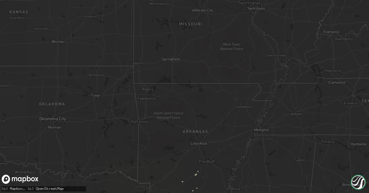
Hail Map on August 31, 2012
Get this storm
August 31 map
$229
one time, instant access
Download today. No call, no setup
Keep the $229
Bought the map and want the full workflow? Apply the entire $229 to a subscription within 7 days. None of it is wasted.
Every map, not just this one
This buys you this map. Subscription and you get every map we run, in the markets you choose from a few cities to whole states to nationwide. Plus real-time alerts the moment a storm fires.
Contact data
Name, contact info, occupancy, even credit band for addresses in the footprint. You go from where it hit to who to call.
Become the source they trust
Unlimited branding weather history reports on demand. You already have the documented answer ready for the property owner, and you are the one who showed up with it.
Property data and RoofTrace estimates
Pull up any address you have got, its value and the exact code rules for that jurisdiction, straight from One Click Code. Then RoofTrace estimates the squares, pitch, and roof value, priced the way you price.
States Impacted by Hail Map on August 31, 2012
Storm reports
Idaho
| Date | Description |
|---|---|
| 08/30/201210:43 PM CDT | A local report indicates 61 MPH wind near 22 W MARION |
| 08/30/20129:40 PM CDT | A local report indicates 58 MPH wind near SSE SOUTHEAST INL |
Arizona
| Date | Description |
|---|---|
| 08/31/20125:00 PM CDT | 40 by 20 ft roof of shed blown off and sturdy jungle gym playground twisted and destroyed. |
Utah
| Date | Description |
|---|---|
| 08/30/201211:00 PM CDT | Hat island - 4242 ft |
| 08/30/201210:45 PM CDT | Gunnison island - 4242 ft |
| 08/30/201210:30 PM CDT | Gunnison island - 4242 ft |
| 08/30/201210:30 PM CDT | Lakeside mountain - 5039 ft |
| 08/30/201210:25 PM CDT | Eagle range - 4239 ft |
| 08/30/201210:15 PM CDT | I-80 at grassey - 4650 ft |
| 08/30/20129:35 PM CDT | Wendover field - 4236 ft |
| 08/30/20129:20 PM CDT | North salt flats - 4218 ft |
| 08/30/20129:15 PM CDT | Wendover peak - 5087 ft |
Mississippi
| Date | Description |
|---|---|
| 08/31/20124:13 PM CDT | Five trees down in western warren county and northwest portions of vicksburg...one tree landed on a car...one tree took down a power pole...and a 16 ft boat was capsize |
Nevada
| Date | Description |
|---|---|
| 08/30/20128:32 PM CDT | Ruby lake raws. |
| 08/30/20128:28 PM CDT | Pilot peak junction. |
| 08/30/20128:10 PM CDT | Clover valley dri site. |
| 08/30/20127:55 PM CDT | Hd summit |
| 08/30/20127:52 PM CDT | Bishop flat. |
| 08/30/20127:50 PM CDT | Ruby valley raws. |
Illinois
| Date | Description |
|---|---|
| 08/31/20125:32 PM CDT | Brief touchdown in a cornfield |
| 08/31/20125:13 PM CDT | *** 1 inj *** one house and one metal building damaged. Power lines also down. One minor injury. |
| 08/31/20123:30 PM CDT | Carrollton road commissioner saw significant roof damage to a house in his neighborhood and the roof completely removed from a 6-car garage... Along with considerable t |
| 08/31/20122:51 PM CDT | County sherrif relayed crop damge... One minor home damage and trees damaged off illinois state highway 16. |
| 08/31/20122:36 PM CDT | County sherrif relayed crop damge... One minor home damage and trees damaged off illinois state highway 16. |
| 08/31/201212:32 AM CDT | Tornado touchdown on illinois river |
Texas
| Date | Description |
|---|---|
| 08/31/20126:40 PM CDT | Trees and powerlines down in parts of the county east of lufkin |
| 08/31/20126:30 PM CDT | Trees down in town and a large tree limb on house. |
| 08/31/20126:30 PM CDT | Trees down near groveton at hwys fm355 and us287 |
| 08/31/20123:15 PM CDT | Property damage including multiple trees... Fence... Well house... Barn... Porch and mobile home underpinning |
Arkansas
| Date | Description |
|---|---|
| 08/30/20127:02 PM CDT | Tress and powerlines down north of des arc on highway 11 |
| 08/30/20127:02 PM CDT | Trees and powerlines down in dixie. |
Missouri
| Date | Description |
|---|---|
| 08/31/20125:32 PM CDT | Few medium sized trees uprooted. Soccer posts tipped thrown at tr hughes highway 79. |
| 08/31/20125:32 PM CDT | Few medium sized trees snapped off. Windows broken and soccer goal posts at fort zumwalt north high school destroyed. Daycare facility playground equipment blown around |
| 08/31/20125:31 PM CDT | Wooden shed destroyed. Soccer goal thrown into tree line. Window blown out. All damage at fort zumwalt north high school. |
Cities Impacted by Hail Map on August 31, 2012
- Corrigan, TX
- Groveton, TX
- Fallon, NV
- New Gloucester, ME
- Young, AZ
- San Augustine, TX
- Diboll, TX
- Tonopah, NV
- Trinity, TX
- Iron Ridge, WI
- Broaddus, TX
- Camden, AR
- Coushatta, LA
- Gorham, NH
- Lufkin, TX
- Zavalla, TX
- Fordyce, AR
- Simsboro, LA
- Poland, ME
- Grand Cane, LA
- Frierson, LA
- Gloster, LA
- Auburn, ME
- Bronson, TX
- Apple Springs, TX
- Etoile, TX
- Huntington, TX