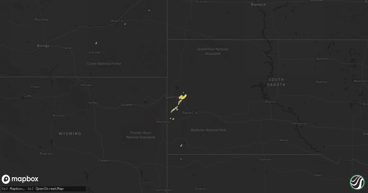
Hail Map on August 22, 2023
Get this storm
August 22 map
$229
one time, instant access
Download today. No call, no setup
Keep the $229
Bought the map and want the full workflow? Apply the entire $229 to a subscription within 7 days. None of it is wasted.
Every map, not just this one
This buys you this map. Subscription and you get every map we run, in the markets you choose from a few cities to whole states to nationwide. Plus real-time alerts the moment a storm fires.
Contact data
Name, contact info, occupancy, even credit band for addresses in the footprint. You go from where it hit to who to call.
Become the source they trust
Unlimited branding weather history reports on demand. You already have the documented answer ready for the property owner, and you are the one who showed up with it.
Property data and RoofTrace estimates
Pull up any address you have got, its value and the exact code rules for that jurisdiction, straight from One Click Code. Then RoofTrace estimates the squares, pitch, and roof value, priced the way you price.
States Impacted by Hail Map on August 22, 2023
Storm reports
Utah
| Date | Description |
|---|---|
| 08/22/20233:45 PM CDT | Mesonet station wdypk windy peak. Elevation 10662 feet. |
Wyoming
| Date | Description |
|---|---|
| 08/22/20236:20 PM CDT | Peak wind gust registered at the miley memorial field asos just north of marbleton. |
| 08/21/20237:30 PM CDT | A local report indicates 61 MPH wind near Wright |
Texas
| Date | Description |
|---|---|
| 08/22/20234:55 PM CDT | Awos station kprs presidio lely in. |
| 08/22/20233:03 PM CDT | 6 inch diameter pecan branch down at the county courthouse photographed by county official. |
| 08/22/20232:50 PM CDT | Shingle damage to a roof reported by nws employee. |
Arizona
| Date | Description |
|---|---|
| 08/22/20235:36 PM CDT | Asos station ktus tucson international airport. |
Kansas
| Date | Description |
|---|---|
| 08/22/20235:38 PM CDT | From off duty nws employee. |
| 08/22/20235:30 PM CDT | Tree limbs downed by 60 mph wind. From off duty nws employee. |
| 08/22/20235:19 PM CDT | Numerous tree limbs downed via social media reports. |
Montana
| Date | Description |
|---|---|
| 08/22/20236:15 PM CDT | Mesonet station ew1931 rudyard. |
| 08/22/20235:55 PM CDT | Asos station kgpi kalispell. |
| 08/22/20235:55 PM CDT | Dispatch reports trees down on the east side of lake mcdonald. Time estimated via radar. |
| 08/22/20235:55 PM CDT | Dispatch reports trees down on the |
| 08/22/20235:50 PM CDT | Dispatch reports numerous trees down in apgar village. |
| 08/22/20235:41 PM CDT | Flathead electric coop reports 167 customers without power from wind damage in west glacier. |
| 08/22/20235:39 PM CDT | Awos station k1gm golf. |
| 08/22/20235:38 PM CDT | Report from bowmans corner mt dot site. |
| 08/22/20235:30 PM CDT | Flathead electric coop reports 168 customers without power along north fork road associated with wind damage. Time estimated via radar. |
| 08/21/20238:03 PM CDT | Asos station kctb cut bank airport. |
Cities Impacted by Hail Map on August 22, 2023
- George West, TX
- Three Rivers, TX
- Orange Grove, TX
- Pearsall, TX
- Moundridge, KS
- Helmville, MT
- Lincoln, MT
- Jordan Valley, OR
- Vale, OR
- Huntington, OR
- Weiser, ID
- Boise, ID
- Garden Valley, ID
- Sturgis, SD
- Whitewood, SD
- Lead, SD
- Sweet Grass, MT
- Sunburst, MT
- Orofino, ID
- Boulder, UT
- Ontario, OR
- Deadwood, SD
- Hill City, SD
- Galata, MT
- Oilmont, MT
- Casa Grande, AZ
- Pine Valley, UT
- Hurricane, UT
- Leeds, UT
- Nyssa, OR
- Parma, ID
- Rudyard, MT
- Vale, SD
- Page, AZ
- Cut Bank, MT
- Edgemont, SD
- Toquerville, UT
- Custer, SD
- Belle Fourche, SD
- Florence, AZ
- Newcastle, WY
- Nisland, SD
- Wolf Creek, MT
- Idaho City, ID
- Crawford, NE
- Brimley, MI
- Sault Sainte Marie, MI
- Dafter, MI
- Barbeau, MI
- Harrison, NE