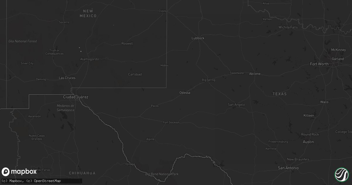
Hail Map on August 19, 2013
Get this storm
August 19 map
$229
one time, instant access
Download today. No call, no setup
Keep the $229
Bought the map and want the full workflow? Apply the entire $229 to a subscription within 7 days. None of it is wasted.
Every map, not just this one
This buys you this map. Subscription and you get every map we run, in the markets you choose from a few cities to whole states to nationwide. Plus real-time alerts the moment a storm fires.
Contact data
Name, contact info, occupancy, even credit band for addresses in the footprint. You go from where it hit to who to call.
Become the source they trust
Unlimited branding weather history reports on demand. You already have the documented answer ready for the property owner, and you are the one who showed up with it.
Property data and RoofTrace estimates
Pull up any address you have got, its value and the exact code rules for that jurisdiction, straight from One Click Code. Then RoofTrace estimates the squares, pitch, and roof value, priced the way you price.
States Impacted by Hail Map on August 19, 2013
Storm reports
Florida
| Date | Description |
|---|---|
| 08/19/20135:40 PM CDT | Pinellas skywarn amateur radio relayed a report by a trained spotter of a 60 mph wind gust in the oldsmar/westchase area. |
California
| Date | Description |
|---|---|
| 08/19/20136:30 PM CDT | Downed power lines reported near 4th east and east ave l4. |
| 08/18/201310:27 PM CDT | Pine tree down |
| 08/18/20138:00 PM CDT | Public reported winds gusting to around 50 mph with damage to fences in the town of dunlap. |
Cities Impacted by Hail Map on August 19, 2013
- Kingman, AZ
- Clearwater, FL
- Tampa, FL
- Quitman, GA
- Statesboro, GA
- Greenville, FL
- Brantley, AL
- Adelanto, CA
- Chula, GA
- Tifton, GA
- Sycamore, GA
- Rosamond, CA
- Madison, FL
- Naples, FL
- Fort Myers Beach, FL
- Fort Myers, FL
- Lancaster, CA
- Camilla, GA
- Sale City, GA
- Fall River Mills, CA
- Palmdale, CA
- Punta Gorda, FL
- Goshen, AL
- Register, GA
- North Port, FL
- Saint James City, FL
- Odessa, FL
- Safety Harbor, FL
- Wofford Heights, CA
- Labelle, FL
- Caliente, CA
- Bokeelia, FL
- Portal, GA
- Port Charlotte, FL