Hail Map on August 8, 2017
Get this storm
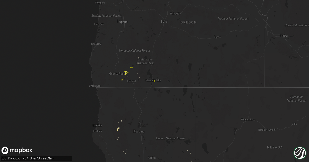
August 8 map
$229
one time, instant access
Download today. No call, no setup
Keep the $229
Bought the map and want the full workflow? Apply the entire $229 to a subscription within 7 days. None of it is wasted.
Every map, not just this one
This buys you this map. Subscription and you get every map we run, in the markets you choose from a few cities to whole states to nationwide. Plus real-time alerts the moment a storm fires.
Contact data
Name, contact info, occupancy, even credit band for addresses in the footprint. You go from where it hit to who to call.
Become the source they trust
Unlimited branding weather history reports on demand. You already have the documented answer ready for the property owner, and you are the one who showed up with it.
Property data and RoofTrace estimates
Pull up any address you have got, its value and the exact code rules for that jurisdiction, straight from One Click Code. Then RoofTrace estimates the squares, pitch, and roof value, priced the way you price.
States Impacted by Hail Map on August 8, 2017
Storm reports
North Dakota
| Date | Description |
|---|---|
| 08/08/20175:55 PM CDT | Awos station 20u... 1 ene beach. |
Utah
| Date | Description |
|---|---|
| 08/08/20176:45 PM CDT | Callao... Ut dpg20 dugway sensor |
Oregon
| Date | Description |
|---|---|
| 08/08/20175:48 PM CDT | A local report indicates 1.00 inch wind near ALTAMONT |
| 08/07/20179:15 PM CDT | Pine tree with 24 inch diameter was snapped in half and took out a birch tree. Time based on radar estimate. |
| 08/07/20178:10 PM CDT | 5 inch tree branch down. Spotter reports tree was healthy and estimates gusts could've been up to 50 mph. Time estimated from radar. |
| 08/07/20178:00 PM CDT | Roof damage - shingles blown off off roof. |
| 08/07/20177:55 PM CDT | Reports of power lines down near the tablerocks. Location and time estimated. |
Nevada
| Date | Description |
|---|---|
| 08/08/20171:30 AM CDT | Peak gust at hot springs mountain hads site. |
New Mexico
| Date | Description |
|---|---|
| 08/08/20175:12 PM CDT | Nmdot patrol yard. |
Cities Impacted by Hail Map on August 8, 2017
- Broadwater, NE
- Hasty, CO
- Las Animas, CO
- Bridgeport, NE
- Hettinger, ND
- Corona, NM
- Vaughn, NM
- Wall, SD
- Quinn, SD
- Las Vegas, NM
- Malad City, ID
- Holbrook, ID
- Trementina, NM
- Conchas Dam, NM
- Lemmon, SD
- Awendaw, SC
- Pueblo, CO
- Saint Onge, SD
- Ellsworth, NE
- Hay Springs, NE
- Moriarty, NM
- Model, CO
- Crookston, NE
- New Town, ND
- Killdeer, ND
- Fort McCoy, FL
- Bowman, ND
- Kimball, NE
- Central Point, OR
- Gold Hill, OR
- Fairfield, ND
- Philip, SD
- Carpio, ND
- Donnybrook, ND
- Selfridge, ND
- Boston, GA
- Fowler, CO
- Hermosa, SD
- Sidney, NE
- Wagon Mound, NM
- Miami, NM
- Ocate, NM
- Albert Lea, MN
- Hartland, MN
- Moncks Corner, SC
- Canon City, CO
- Lansford, ND
- Gurley, NE
- Hanahan, SC
- Goose Creek, SC
- Hinesville, GA
- Sedan, NM
- Clayton, NM
- Alden, MN
- Jacksonville, OR
- Klamath Falls, OR
- Valdosta, GA
- White City, OR
- Pine Ridge, SD
- Kilgore, NE
- McClellanville, SC
- Beulah, CO
- Charleston, SC
- North Charleston, SC
- Huger, SC
- Valentine, NE
- Snowville, UT
- Bluffton, SC
- Mandaree, ND
- Reeder, ND
- Daufuskie Island, SC
- Harrisburg, NE
- Fort Stewart, GA
- Satsuma, FL
- Hilton Head Island, SC
- Dalton, NE
- Scranton, ND
- Cooperstown, ND
- Ribera, NM
- Trail, OR
- Shady Cove, OR
- Prospect, OR
- Eagle Point, OR
- Rye, CO
- Branson, CO
- Trinidad, CO