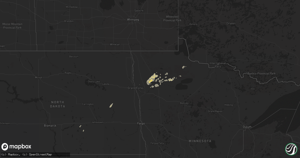
Hail Map on July 26, 2024
Get this storm
July 26 map
$229
one time, instant access
Download today. No call, no setup
Keep the $229
Bought the map and want the full workflow? Apply the entire $229 to a subscription within 7 days. None of it is wasted.
Every map, not just this one
This buys you this map. Subscription and you get every map we run, in the markets you choose from a few cities to whole states to nationwide. Plus real-time alerts the moment a storm fires.
Contact data
Name, contact info, occupancy, even credit band for addresses in the footprint. You go from where it hit to who to call.
Become the source they trust
Unlimited branding weather history reports on demand. You already have the documented answer ready for the property owner, and you are the one who showed up with it.
Property data and RoofTrace estimates
Pull up any address you have got, its value and the exact code rules for that jurisdiction, straight from One Click Code. Then RoofTrace estimates the squares, pitch, and roof value, priced the way you price.
States Impacted by Hail Map on July 26, 2024
Storm reports
Wyoming
| Date | Description |
|---|---|
| 07/26/20244:54 PM CDT | Asos station kgey greybull airport. |
South Carolina
| Date | Description |
|---|---|
| 07/26/20245:15 PM CDT | Emergency manager reports tree down blocking one lane at intersection of rhode dr and peirce rd. |
| 07/26/20245:10 PM CDT | Colleton emergency manager reported a tree down blocking both lanes on sandy dam lane. |
Utah
| Date | Description |
|---|---|
| 07/26/20245:20 AM CDT | Mesonet station pc123 murray's hill. |
| 07/26/20244:30 AM CDT | Mesonet station freut fremont island - miller hill. |
| 07/26/20244:14 AM CDT | Mesonet station up068 marsh. |
| 07/26/20243:50 AM CDT | Mesonet station ut201 sr-201 at i-80. |
| 07/26/20243:40 AM CDT | A local report indicates 65 MPH wind near 3 NNE Lake Pt |
| 07/26/20242:44 AM CDT | Mesonet station as768 great salt lake marina. |
| 07/26/20242:25 AM CDT | A local report indicates 60 MPH wind near 18 NE Callao |
| 07/26/20242:25 AM CDT | Mesonet station dpg18 causeway. |
Georgia
| Date | Description |
|---|---|
| 07/26/20245:55 PM CDT | Tree down on wind mill lane. |
Montana
| Date | Description |
|---|---|
| 07/26/20246:54 PM CDT | Asos station klvm livingston. |
| 07/26/20246:44 PM CDT | Asos station klvm livingston. |
South Dakota
| Date | Description |
|---|---|
| 07/25/20248:16 PM CDT | A local report indicates 61 MPH wind near 10 S Hot Springs |
Cities Impacted by Hail Map on July 26, 2024
- Flagstaff, AZ
- Cubero, NM
- Payson, AZ
- Sedona, AZ
- Young, AZ
- Livingston, MT
- Bancroft, ID
- Bluffton, SC
- Globe, AZ
- Peridot, AZ
- Savannah, GA
- Soda Springs, ID
- Leakey, TX
- Hardeeville, SC
- Cornville, AZ
- Rio Frio, TX
- Calhan, CO
- Chadron, NE
- Seymour, MO
- Sparta, MO
- Fordland, MO
- Bruner, MO
- Saint Hilaire, MN
- Red Lake Falls, MN
- Thief River Falls, MN
- Brackettville, TX
- Goodridge, MN
- Newfolden, MN
- Plummer, MN
- Viking, MN
- Tappen, ND
- Grygla, MN
- Warren, MN
- Medina, ND
- Middle River, MN
- Streeter, ND
- Cooperstown, ND
- Claude, TX
- Willcox, AZ